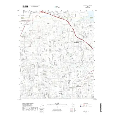
2019 Map of Colleyville
USGS Topo · Published 2019About this map
Colleyville and the surrounding suburban expansion of the northern Dallas-Fort Worth metroplex are documented in this late-2010s survey. The landscape is characterized by a dense network of residential subdivisions and major transit corridors, including the Union Pacific RR which cuts through Roanoke and Keller. While much of the terrain is developed, older local history remains visible through markers like the Bourland Cem and the Union Church near Old Union.
Find a feature on this map
192 named features on this map. Tap any name to fly to it.
Don’t see what you’re looking for? This feature index may not catch every label — zoom into the map to look around manually.
Map Details
Editions of this 2019 Colleyville Map
This is the sole edition of this map. No revisions or reprints were ever made.
Other maps of this area

1894 · Fort Worth
USGS Topo · 1:125,000
1931 · Grapevine
USGS Topo · 1:62,500

1954 · Dallas
USGS Topo · 1:250,000

1954 · Sherman
USGS Topo · 1:250,000
1955 · Haltom City
USGS Topo · 1:24,000
1955 · Keller
USGS Topo · 1:24,000
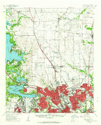
1955 · Haltom City
USGS Topo · 1:62,500

1958 · Dallas
USGS Topo · 1:250,000

1958 · Sherman
USGS Topo · 1:250,000
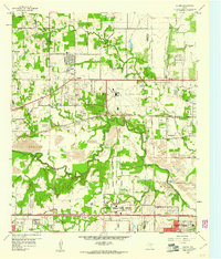
1959 · Euless
USGS Topo · 1:24,000