2022 Map of Hurst
USGS Topo · Published 2022About this map
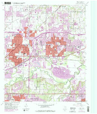
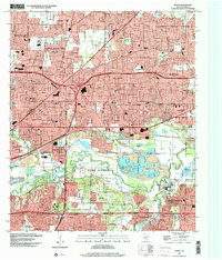
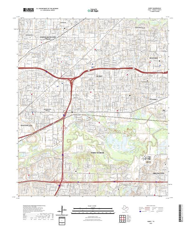
Fort Worth and Arlington dominate the southern reach of this survey, where the West Fork Trinity River winds through a landscape increasingly defined by suburban growth and regional infrastructure. The map documents the dense residential development of the Mid-Cities, including Hurst, Bedford, and Euless, while preserving locations of historical importance such as Smithfield Cem and Arwine Cem. Major transportation corridors like the Airport Fwy and Randol Mill Rd illustrate the transit-oriented nature of the Tarrant County sprawl. Along the various tributaries such as Big Fossil Cr and Little Bear Cr, small pockets of open space and the Fuller Airport remain, providing a detailed record of the land use patterns existing between the established city centers and the evolving modern neighborhoods.
Find a feature on this map
35 named features on this map. Tap any name to fly to it.
Don’t see what you’re looking for? This feature index may not catch every label — zoom into the map to look around manually.
Map Details
Editions of this 2022 Hurst Map
This is the sole edition of this map. No revisions or reprints were ever made.