Old Maps of Tatum, Texas for Academic Research
Study the evolution of Tatum with 17 high-resolution historic maps. Whether you're teaching, researching, or modeling changes in land use, these maps provide essential visual documentation of urban, environmental, and geographic change.
- Analyze long-term change: Track patterns in development, transportation, and natural features.
- Ideal for environmental or urban studies: Support academic projects with primary historical map data.
- Use in the classroom or lab: Educators and researchers rely on these maps to bring historical context to life.
These maps are a powerful tool for teaching, research, and visualizing how Tatum has changed over the decades.
Tatum, TX maps
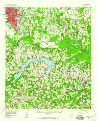
(17)- 1956 Map of Tyler
 1956 Tyler1956 Print · USGSEast Texas was a powerhouse of oil production and rail transport during the mid-fifties, centered on the sprawling East Texas Oil Field. Researchers can trace the heritage of industrial hubs like Kilgore, military sites such as the Longhorn Ordnance Works, and many rural landmarks like Mount Enterprise.5 unique versions available
 - 1958 Map of Darco, 1960 Print
 1958 Darco1960 Print · USGSThe Sabine River bottomlands of East Texas are captured here in the late fifties, showing a landscape defined by gas fields and lignite mining. Genealogists can locate family landmarks like the Rosenwald Vocational and Agriculture Sch, Harris Chapel, and the historical Boards Ferry.2 unique versions available
 - 1958 Map of Tatum, 1960 Print
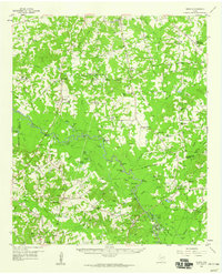
 1958 Tatum1960 Print · USGSEast Texas in the late fifties is captured here as the industrial reach of Longview meets the rural landscapes of Rusk and Harrison counties. Genealogists and historians can trace the foundations of local communities at Lake Cherokee, Sweet Home Ch, and the Tatum Gas Field.4 unique versions available
 - 1983 Map of Tatum
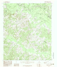
 1983 Tatum1983 Print · USGSEast Texas at the start of the 1980s reveals a landscape where timber and water resources meet growing recreation. Researchers can trace rural lineages through local settlements like Harmony Hill and Mayflower or explore the lakeside development of Martin Lake.2 unique versions available
 - 1983 Map of Harris Chapel
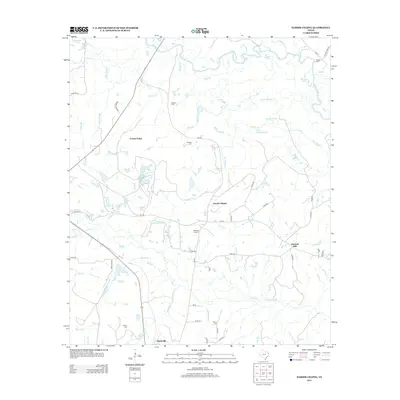
 1983 Harris Chapel1983 Print · USGSPanola County in the early eighties shows a landscape defined by the winding Sabine River and its many oxbow lakes. You can trace the rural layout of Harris Chapel and Beckville, or locate landmarks like Sterrett Hill and The Sandy Hills.
 - 1984 Map of Tyler
 1984 Tyler1984 Print · USGSEast Texas at the peak of its reservoir-building era shows a landscape defined by new lakes and established rail corridors. Trace the path of the St Louis Southwestern RR or locate industrial sites like the Longhorn Ordnance Works.3 unique versions available
 - 1986 Map of Henderson
 1986 Henderson1986 Print · USGSEast Texas and the Louisiana borderlands come into focus in the 1980s as industrial energy production meets quiet rural townships. Researchers can trace family sites and local landmarks from Elysian Fields to Old Panola, alongside major features like the Strip Mine and Martin Lake State Park.2 unique versions available
 - 2010 Map of Tatum, 2010 Print
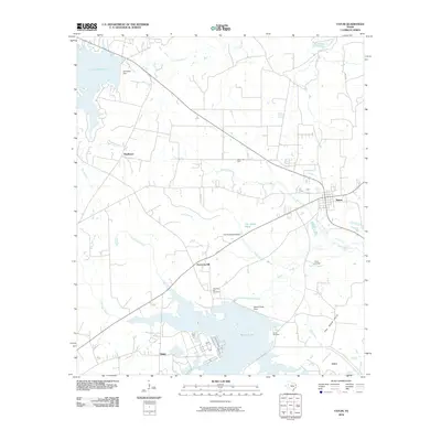 2010 Tatum2010 Print · USGSCovers Tatum, including Easton, Arbor, and other nearby areas
 - 2010 Map of Harris Chapel, 2010 Print
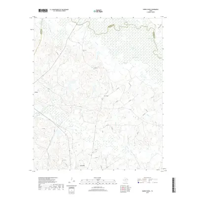
 2010 Harris Chapel2010 Print · USGSCovers Tatum, including Beckville, Center Point, and other nearby areas
 - 2013 Map of Tatum, 2013 Print
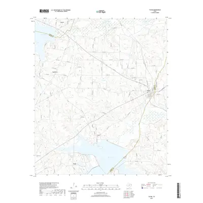
 2013 Tatum2013 Print · USGSCovers Tatum, including Easton, Arbor, and other nearby areas
 - 2013 Map of Harris Chapel, 2013 Print
 2013 Harris Chapel2013 Print · USGSCovers Tatum, including Beckville, Center Point, and other nearby areas
 - 2016 Map of Tatum, 2016 Print
 2016 Tatum2016 Print · USGSCovers Tatum, including Easton, Arbor, and other nearby areas
 - 2016 Map of Harris Chapel, 2016 Print
 2016 Harris Chapel2016 Print · USGSCovers Tatum, including Beckville, Center Point, and other nearby areas
 - 2019 Map of Harris Chapel, 2019 Print
 2019 Harris Chapel2019 Print · USGSCovers Tatum, including Beckville, Center Point, and other nearby areas
 - 2019 Map of Tatum, 2019 Print
 2019 Tatum2019 Print · USGSCovers Tatum, including Easton, Arbor, and other nearby areas
 - 2022 Map of Harris Chapel, 2022 Print
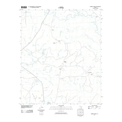
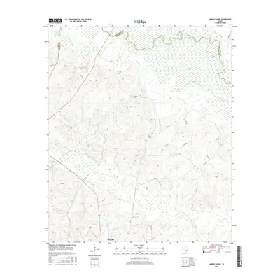
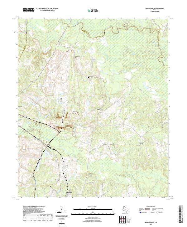 2022 Harris Chapel2022 Print · USGSPanola County's riverbottoms and rural uplands are shown in great detail during the early 2020s. Genealogists can trace family heritage through local landmarks like Harris Chapel Cem, Conner Cem, and the wetlands of Cypress Slough.
 - 2022 Map of Tatum, 2022 Print
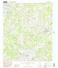
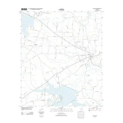
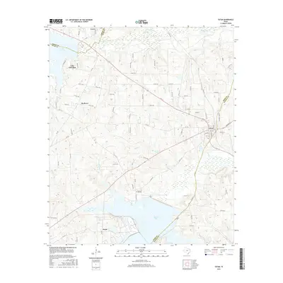
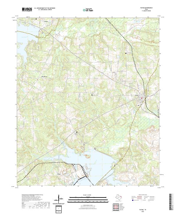 2022 Tatum2022 Print · USGSThe tri-county borderlands of Rusk, Panola, and Gregg Counties come into focus in this recent survey of East Texas. Genealogists and local historians can trace family locations near Tatum, Easton, and several community landmarks like Harmony Hill Cem and Martin Lake.
End of results
Showing maps 1-17 of 17
Top cities near Tatum
- Longview historical maps
- Marshall historical maps
- Carthage historical maps
- Hallsville historical maps
- Lakeport historical maps
- Beckville historical maps
See more
Frequently asked questions
- What are the different types of historical maps available for Tatum?
- What is the oldest map of Tatum?
- Where can I purchase historical maps of Tatum for my home or office?
- Where can I download high-res historical maps of Tatum?
- Are there historical topographic maps available for Tatum?
- Is there historical aerial imagery available for Tatum?
- Where are historical maps of Tatum sourced from?