Old Maps of Brownfield, Texas for Metal Detecting
Plan your next treasure hunt with 16 historic maps of Brownfield. Find old homesites, ghost towns, trails, and gathering spots that may be lost to time — perfect for identifying promising metal detecting locations.
- Locate forgotten sites: Uncover places like long-lost settlements, abandoned rail lines, or gathering spots.
- Plan better hunts: Use map overlays combined with LiDAR or satellite views to narrow in on historically rich areas.
- Made for detectorists: Thousands of hobbyists use these maps to discover relics, coins, and hidden history.
Use these historic maps to boost your research and find new opportunities beneath the surface of Brownfield.
Brownfield, TX maps
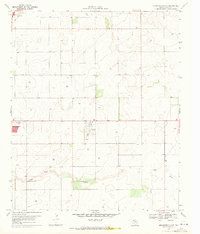
(16)- 1954 Map of Brownfield, 1975 Print
 1954 Brownfield1975 Print · USGSThe High Plains of the Texas-New Mexico border are captured here in the mid-twentieth century, as ranching and oil extraction shaped the Llano Estacado. Genealogists and historians can trace small rural centers like Lums Chapel, Hillburn City, and the Friendship Sch amid a landscape of windmills.2 unique versions available
 - 1958 Map of Brownfield
 1958 Brownfield1958 Print · USGSThe High Plains of the Texas-New Mexico border are captured here during a mid-century oil boom. Genealogists and historians can trace old community sites like Lums Chapel and Tokio alongside the vast Levelland and Slaughter Oil and Gas Field.
 - 1962 Map of Brownfield
 1962 Brownfield1962 Print · USGSThe High Plains of Texas and New Mexico are captured in the early sixties as a thriving hub of oil production and ranching. Researchers can trace the industrial footprint of the Levelland and Slaughter Oil and Gas Field or locate smaller towns like Sundown and Littlefield.
 - 1969 Map of Brownfield East, 1971 Print
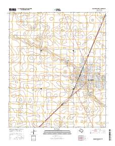
 1969 Brownfield East1971 Print · USGSTerry County during the late sixties shows the steady growth of a High Plains community. Genealogists and local historians can trace the outskirts of Brownfield and identify key sites like the Terry County Airport and the meandering path of Lost Draw.
 - 1969 Map of Brownfield West, 1972 Print
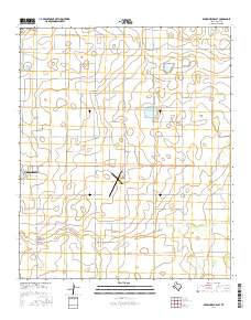
 1969 Brownfield West1972 Print · USGSBrownfield entered the late sixties as a bustling plains hub, where the Atchison Topeka and Santa Fe rail line met the growing needs of Terry County. Genealogists can locate several burial sites like Old Mt Zion Cem and trace the original footprints of Oak Grove Sch and City Hall.2 unique versions available
 - 1985 Map of Brownfield, 1986 Print
 1985 Brownfield1986 Print · USGSThe South Plains of West Texas are shown here in the mid-1980s, revealing a landscape defined by massive petroleum operations and scattered rural townships. Genealogists and historians can trace the development of Brownfield and Sundown alongside the Atchison Topeka and Santa Fe rail line.2 unique versions available
 - 2010 Map of Brownfield West, 2010 Print
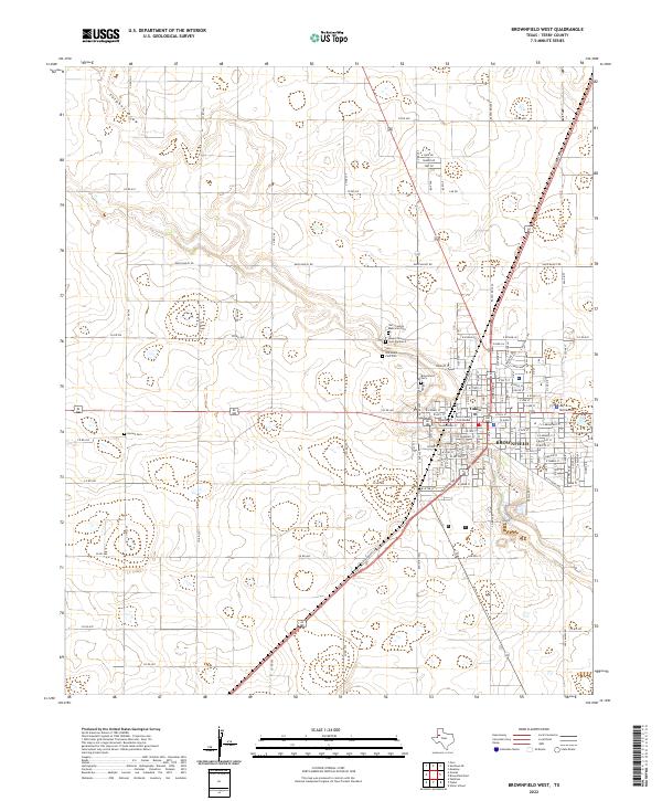
 2010 Brownfield West2010 Print · USGSCovers Brownfield, including Terry County, United States, and other nearby areas
 - 2010 Map of Brownfield East, 2010 Print
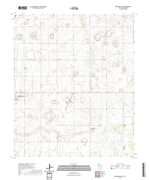
 2010 Brownfield East2010 Print · USGSCovers Brownfield, including Terry County, United States, and other nearby areas
 - 2012 Map of Brownfield West, 2012 Print
 2012 Brownfield West2012 Print · USGSCovers Brownfield, including Terry County, United States, and other nearby areas
 - 2012 Map of Brownfield East, 2012 Print
 2012 Brownfield East2012 Print · USGSCovers Brownfield, including Terry County, United States, and other nearby areas
 - 2016 Map of Brownfield West, 2016 Print
 2016 Brownfield West2016 Print · USGSCovers Brownfield, including Terry County, United States, and other nearby areas
 - 2016 Map of Brownfield East, 2016 Print
 2016 Brownfield East2016 Print · USGSCovers Brownfield, including Terry County, United States, and other nearby areas
 - 2019 Map of Brownfield West, 2019 Print
 2019 Brownfield West2019 Print · USGSCovers Brownfield, including Terry County, United States, and other nearby areas
 - 2019 Map of Brownfield East, 2019 Print
 2019 Brownfield East2019 Print · USGSCovers Brownfield, including Terry County, United States, and other nearby areas
 - 2022 Map of Brownfield West, 2022 Print
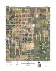
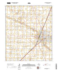
 2022 Brownfield West2022 Print · USGSThe West Texas plains around Terry County are captured here during a period of modern agricultural and civic development. Researchers can trace family history at the Terry County Courthouse or explore local landmarks like Tokio, Gomez Cem, and the winding Lost Draw.
 - 2022 Map of Brownfield East, 2022 Print
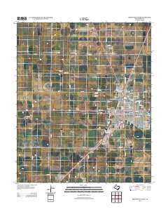
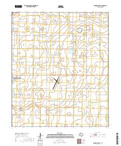
 2022 Brownfield East2022 Print · USGSTerry County's high plains landscape is captured in this recent survey, showcasing the eastern outskirts of the regional hub. Local historians can trace the paths of Lost Draw and examine the layout of the Terry County Airport and Brownfield.
End of results
Showing maps 1-16 of 16
Top cities near Brownfield
Frequently asked questions
- What are the different types of historical maps available for Brownfield?
- What is the oldest map of Brownfield?
- Where can I purchase historical maps of Brownfield for my home or office?
- Where can I download high-res historical maps of Brownfield?
- Are there historical topographic maps available for Brownfield?
- Is there historical aerial imagery available for Brownfield?
- Where are historical maps of Brownfield sourced from?