2020s Maps of Throckmorton County, Texas
Explore 25 historic maps of Throckmorton County from the 2020s. These maps offer a rare glimpse into what life looked like during the 2020s — showing old roads, neighborhoods, homes, and landmarks that have changed or disappeared over time.
Whether you're researching your family's past, planning a metal detecting trip, or studying how Throckmorton County's landscape evolved across the 2020s, these high-resolution maps are a powerful tool for exploring the history of this region.
- Focus on a specific era: All maps on this page are from the 2020s, giving you a focused view of this time period.
- See what’s changed: Compare century-old streets, trails, and buildings to today's modern landscape using overlays and satellite layers.
- Research with precision: Use these maps for genealogy, historical research, land use analysis, or educational projects.
- View, download, or print: Maps are fully viewable online in high resolution, and can be downloaded or printed for your own records.
Start exploring Throckmorton County's history through authentic maps from the 2020s. This is your window into the past.
Throckmorton County, TX maps
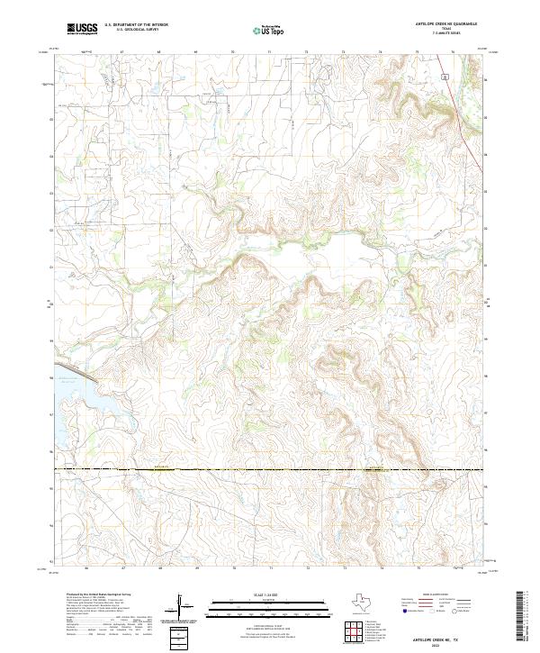
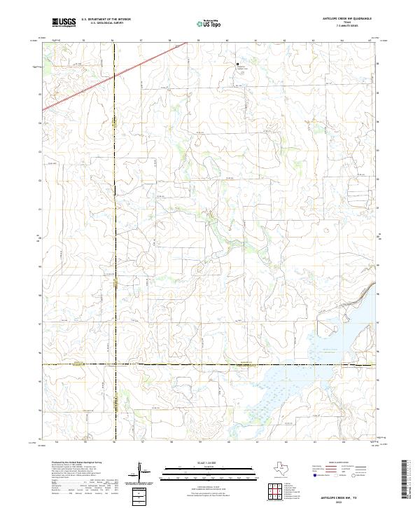
(25)- 2022 Map of Antelope Creek SE, 2022 Print
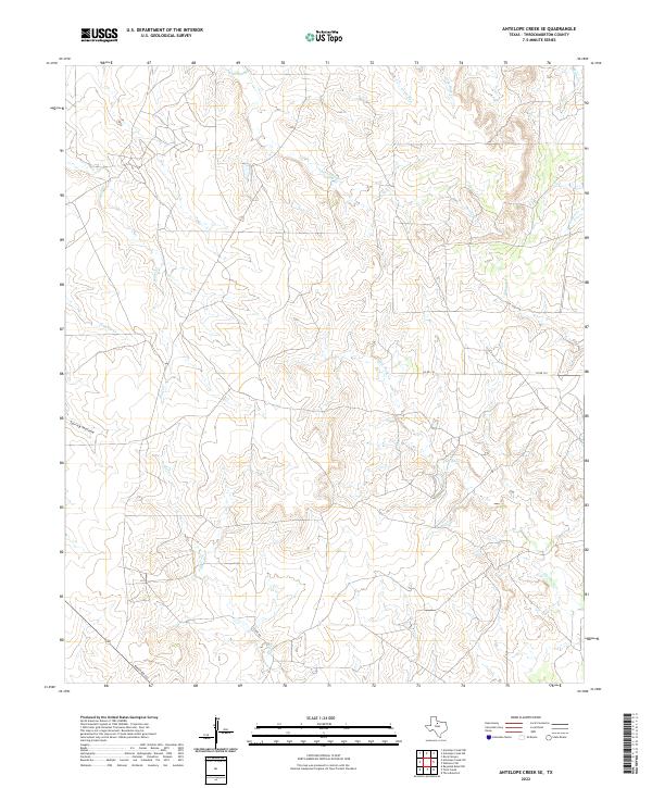 2022 Antelope Creek SE2022 Print · USGSThrockmorton County ranch land is captured in this recent survey, showing a landscape carved by the intricate tributaries of the Antelope Cr system. Researchers can trace rural transportation routes like Ranch Rd 222 and locate remote features such as Spring Hollow and Flat Rock Cr.
 - 2022 Map of Westover SE, 2022 Print
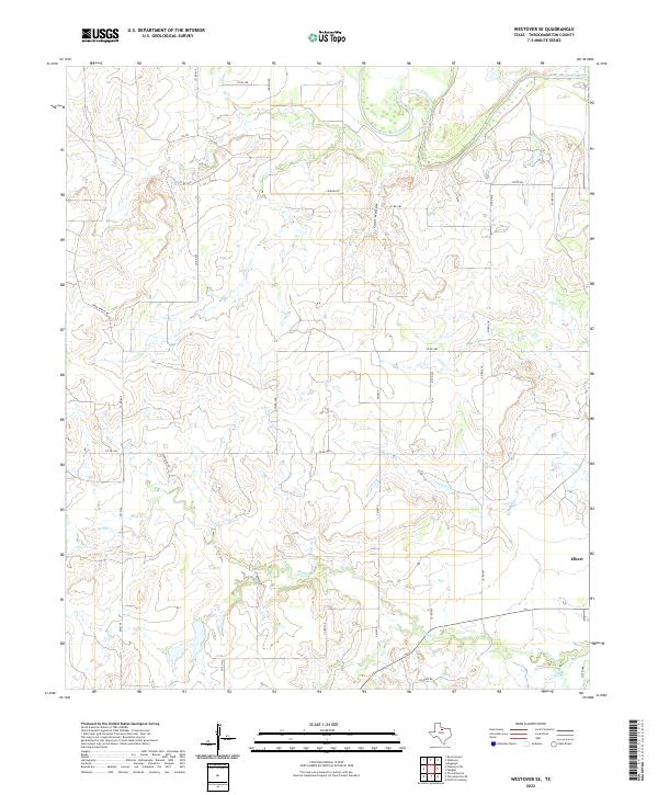 2022 Westover SE2022 Print · USGSThrockmorton County ranch lands and the upper Brazos River are captured here in the early twenty-first century. Genealogists and researchers can trace local family landholdings and travel routes through named landmarks like Coon Hollow, Elbert, and Spade Ranch Rd.
 - 2022 Map of Reynolds Bend, 2022 Print
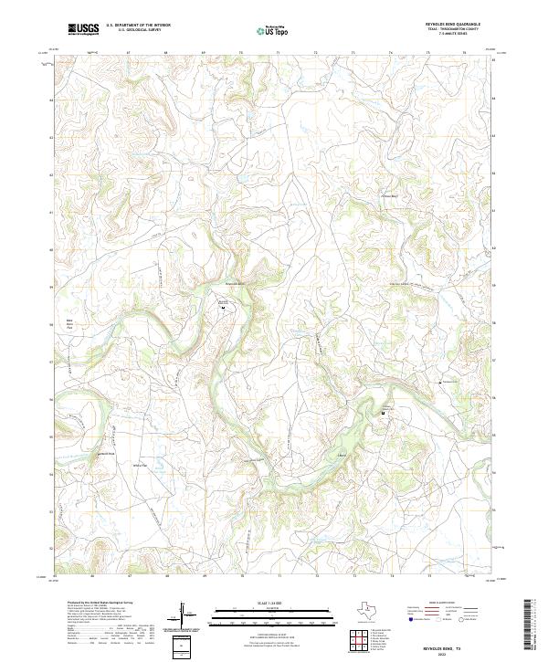 2022 Reynolds Bend2022 Print · USGSThrockmorton County ranch lands are documented here in the early twenty-first century as the river winds through deep canyons and wide flats. Researchers can pinpoint isolated family burial grounds like Reynolds Bend Cem and trace the drainage of the Clear Fork Brazos River.
 - 2022 Map of Reynolds Bend NW, 2022 Print
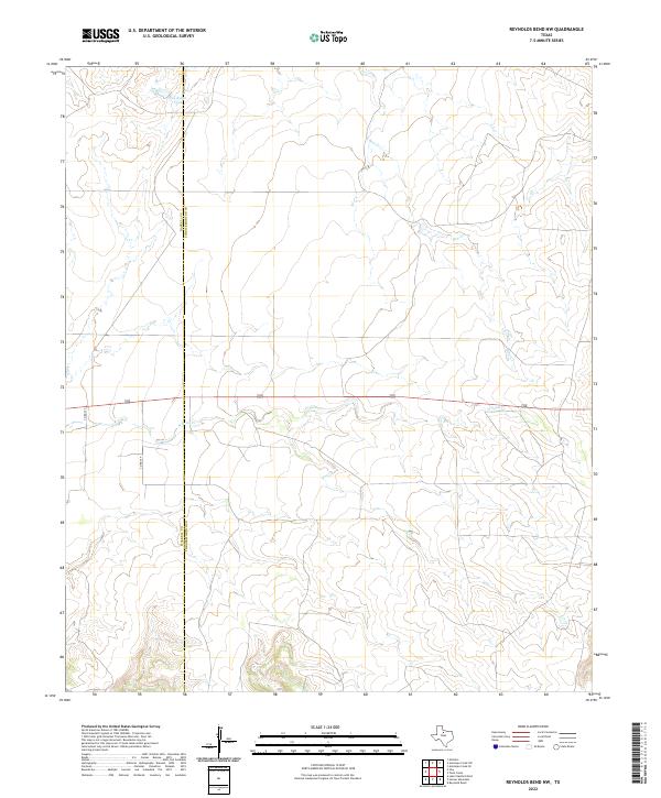 2022 Reynolds Bend NW2022 Print · USGSThe open ranch lands of the Texas Big Country are shown here at the start of the 2020s. Researchers can trace the county line and find rural landmarks like Pea Ridge Tank and the winding course of N Paint Cr.
 - 2022 Map of Tonk Creek, 2022 Print
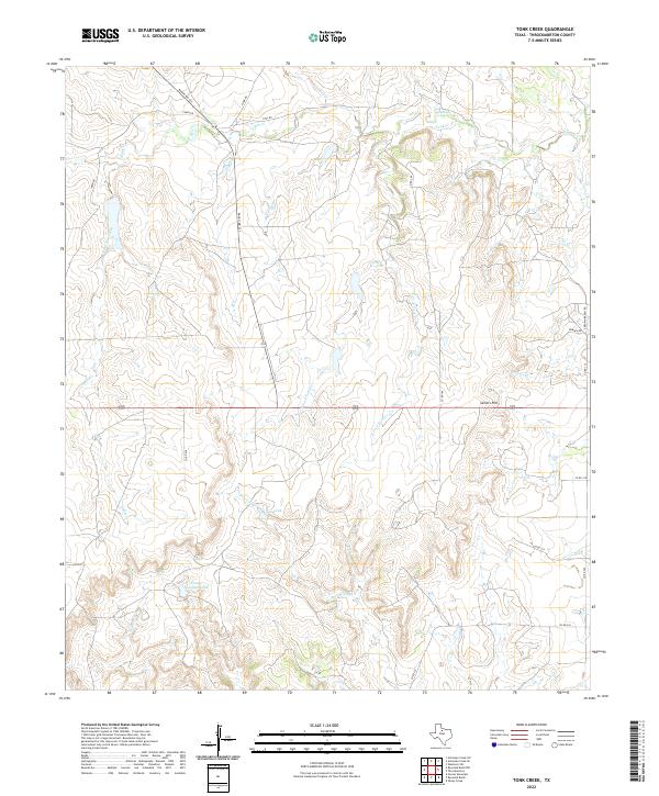 2022 Tonk Creek2022 Print · USGSThrockmorton County ranching country is documented here in the early 2020s, showing a landscape shaped by creek drainages and water tanks. Genealogists and local historians can trace family-named landmarks like Sellers Hill and water sources including Ada Tank and Ranger Canyon Tank.
 - 2022 Map of Rock Canyon, 2022 Print
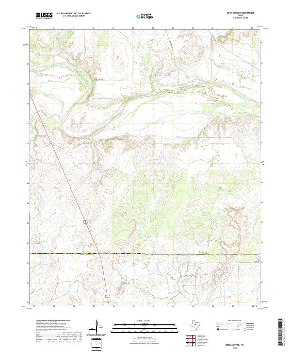 2022 Rock Canyon2022 Print · USGSBaylor and Throckmorton counties meet along the winding Brazos River in this contemporary record of the North Texas ranchlands. Researchers can trace land use through named landmarks like Rock Canyon, Twin Mtn, and the settlement at Horseshoe Bend.
 - 2022 Map of Woodson, 2022 Print
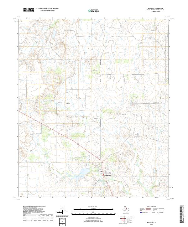 2022 Woodson2022 Print · USGSWoodson and the surrounding Throckmorton County ranchlands are documented here in the early 2020s. Genealogists and local historians can trace family-named landmarks and rural routes, from Woodson Cem to Hay Rick Mtn and Lake Woodson.
 - 2022 Map of Throckmorton NE, 2022 Print
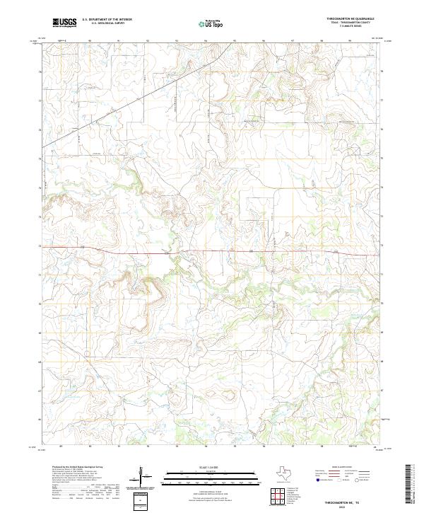 2022 Throckmorton NE2022 Print · USGSIn the rolling ranchland of North Texas, this modern survey documents the drainage basins and rural road networks of Throckmorton County. Researchers can trace land use through features like Cooper Lake and follow the paths of Mexican Springs Rd and Bush Knob Cr.
 - 2022 Map of Sibley Creek, 2022 Print
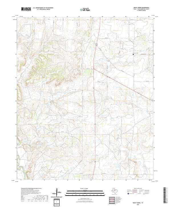 2022 Sibley Creek2022 Print · USGSThrockmorton County ranching country is mapped here in the early twenty-first century, showing a landscape defined by the Brazos River watershed. Researchers can trace rural property access via Old Albany Rd or locate the Bush Knob Cem and Brown Lake.
 - 2022 Map of Westover SW, 2022 Print
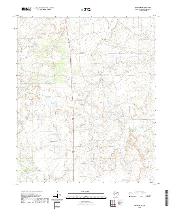 2022 Westover SW2022 Print · USGSThrockmorton County ranching country is mapped here in the early 2020s, showing a landscape shaped by water management and rural infrastructure. Researchers can trace the boundaries of the Texas A and M Experimental Ranch Lake and follow the paths of Spade Ranch Rd and Oil Rd.
 - 2022 Map of Westover, 2022 Print
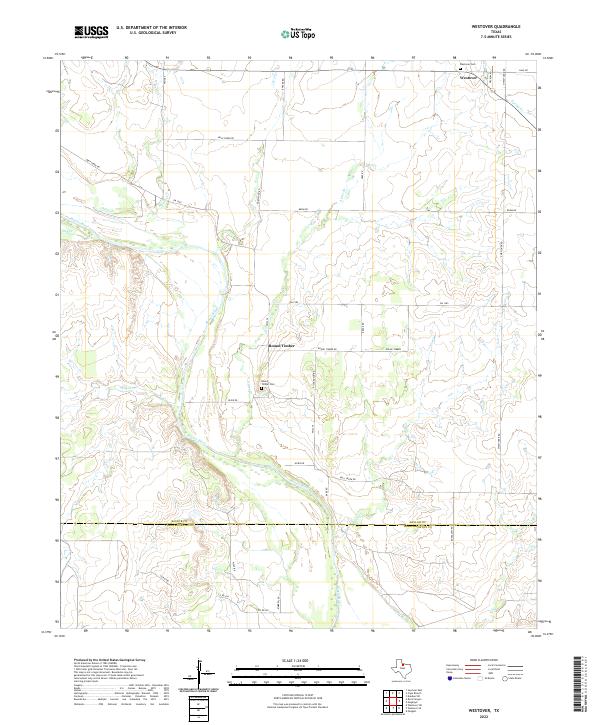 2022 Westover2022 Print · USGSBaylor County's rural ranching landscape is captured here in the early twenty-first century as the Brazos River crosses the Throckmorton County line. Genealogists can locate family landmarks at Westover Cem or trace old property boundaries near Round Timber.
 - 2022 Map of Antelope Creek NE, 2022 Print
 2022 Antelope Creek NE2022 Print · USGSThe Baylor and Throckmorton county line runs through this ranchland landscape during the early twenty-first century. Researchers can trace the extensive watershed feeding Millers Creek Reservoir and follow the paths of Louse Run and Brazos River.
 - 2022 Map of Hoover Mountain, 2022 Print
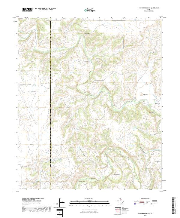 2022 Hoover Mountain2022 Print · USGSThe Haskell and Throckmorton county line comes alive in this contemporary survey of the winding Brazos River country. Researchers can trace the river's serpentine path through Turkey Bend and locate named landmarks like Hoover Mtn and Bake Oven Flat.
 - 2022 Map of Throckmorton, 2022 Print
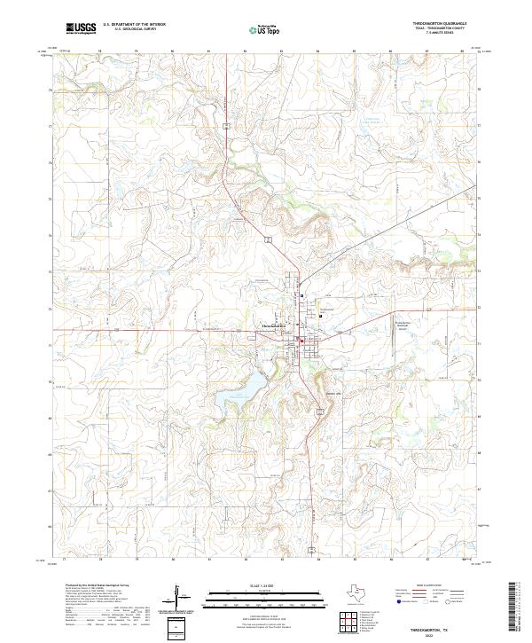 2022 Throckmorton2022 Print · USGSThrockmorton remains a vital Texas county seat in this recent survey, anchoring a landscape of rolling ranch land and vital water sources. Genealogists and local historians can locate the Throckmorton County Courthouse, the Throckmorton Cem, and landmarks like Thacker Mtn.
 - 2022 Map of Antelope Creek NW, 2022 Print
 2022 Antelope Creek NW2022 Print · USGSFour Texas counties converge in this rural ranching landscape during the early 2020s, centered on a vital regional water network. Researchers can trace the sprawling shoreline of the Millers Creek Reservoir or locate the Bomarton Catholic Cem near the banks of Mexican Cr.
 - 2022 Map of Megargel, 2022 Print
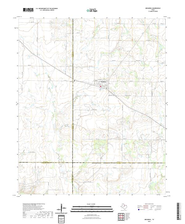 2022 Megargel2022 Print · USGSThe rural crossroads of Megargel in the early 2020s sit at the unique junction of four Texas counties. Genealogists and local historians can trace family land via roads like Posey Rd and Slaughter Rd, or locate the Megargel Cem and the central PO.
 - 2022 Map of Proffitt Crossing, 2022 Print
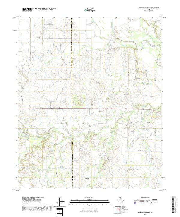 2022 Proffitt Crossing2022 Print · USGSYoung and Throckmorton Counties appear here in the early twenty-first century, showing a landscape defined by the Brazos River and its many tributaries. Researchers can trace historic family names and local landmarks through Elbert Cemetery Rd, Mexican Spring Rd, and Cribb Station Cr.
 - 2022 Map of Murray, 2022 Print
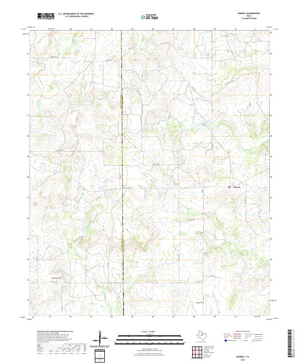 2022 Murray2022 Print · USGSThe ranch lands of the Young and Throckmorton county line are documented here in the early twenty-first century. Researchers can trace the rural landscape around Murray and Coffee Flat or locate family landmarks like Matthews Hill and Huffstuttle Cr.
 - 2022 Map of Padgett, 2022 Print
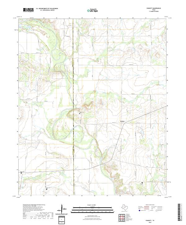 2022 Padgett2022 Print · USGSTexas ranching country along the Young and Throckmorton county line is captured here in recent years, centered on the Brazos River. Researchers can locate several quiet burial grounds including Elbert Cem and Reynolds Cem near the settlement of Padgett.
 - 2022 Map of Antelope Hills, 2022 Print
 2022 Antelope Hills2022 Print · USGSTexas ranching country at the meeting point of three counties is defined here by the winding river and high ground. Researchers can trace the rugged drainage of the Clear Fork Brazos River and find landmarks like the Antelope Hills and Wolf Cr.
 - 2022 Map of Lusk, 2022 Print
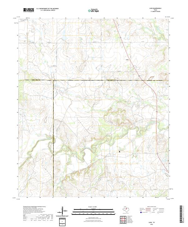 2022 Lusk2022 Print · USGSThe Clear Fork Brazos River basin in the early 2020s is a landscape of intersecting county lines and quiet rural roads. Genealogists and local historians can locate the Clear Fork Cem near the river or trace the small settlement of Lusk and the Lester Clark Reservoir.
 - 2022 Map of Fort Griffin, 2022 Print
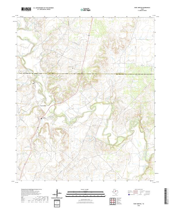 2022 Fort Griffin2022 Print · USGSThe Clear Fork of the Brazos River cuts through this Shackelford County ranching landscape as it appeared in the early 2020s. Genealogists can trace family heritage at the Old Fort Griffin Cem, Fort Griffin Cem, and the rural Ledbetter Cem.
 - 2022 Map of Collins Creek, 2022 Print
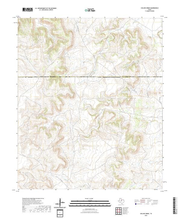 2022 Collins Creek2022 Print · USGSTexas ranching country along the Shackelford and Throckmorton county line is detailed here in the early twenty-first century. Researchers can trace land use and water features like Lambshead Cr and Lambshead Tank via Matthews Ranch Rd.
 - 2022 Map of Crystal Falls, 2022 Print
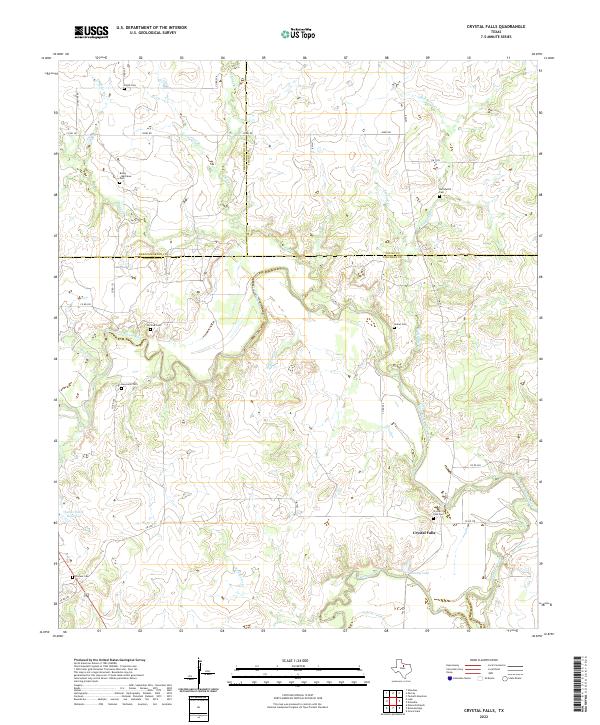 2022 Crystal Falls2022 Print · USGSStephens County ranching country and the Clear Fork Brazos River come to life in this recent survey. Researchers can trace family history at sites like Crystal Falls, Pioneer Cem, and Huffstuttle Cem along the winding creek beds.
 - 2023 Map of Antelope Creek SW, 2023 Print
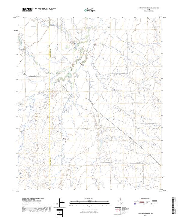 2023 Antelope Creek SW2023 Print · USGSThe Haskell and Throckmorton county line comes alive in the 2020s, showing a ranching landscape defined by the winding waters of Millers Creek and Wild Horse Creek. Trace local history through family-named landmarks like Chamberlain and the essential stock waters of Big Wolf Tank.
End of results
Showing maps 1-25 of 25
Top cities of Throckmorton County
Frequently asked questions
- What are the different types of historical maps available for Throckmorton County?
- What is the oldest map of Throckmorton County?
- Where can I purchase historical maps of Throckmorton County for my home or office?
- Where can I download high-res historical maps of Throckmorton County?
- Are there historical topographic maps available for Throckmorton County?
- Is there historical aerial imagery available for Throckmorton County?
- Where are historical maps of Throckmorton County sourced from?