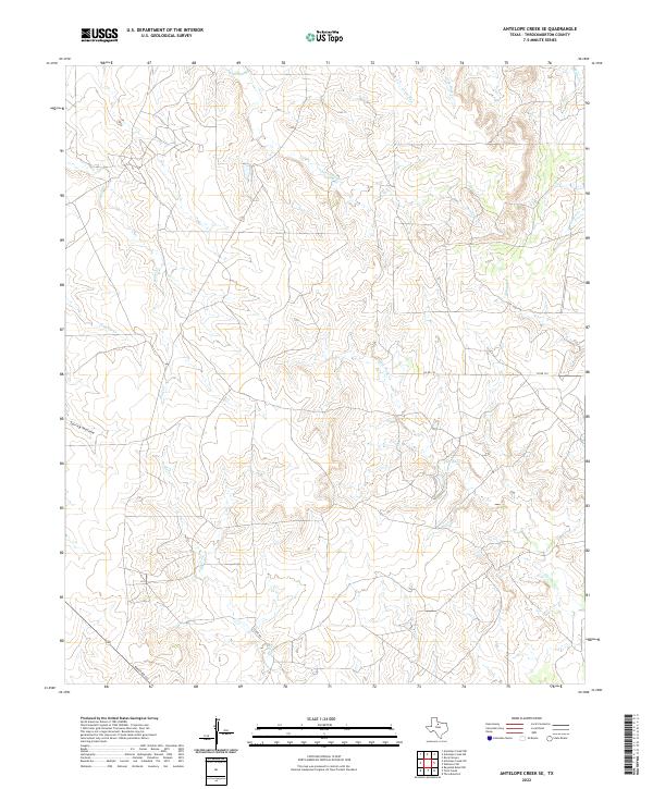
2022 Map of Antelope Creek SE
USGS Topo · Published 2022About this map
Antelope Cr and its numerous tributaries dominate this drainage-heavy landscape in Throckmorton County, where a complex network of seasonal runs and creeks has shaped the local topography. This 2022 survey shows a region defined by its watercourses, including Louise Run, Gray Back Cr, and the winding path of Flat Rock Cr. The land remains largely rural, with development focused along a few key corridors such as Ranch Rd 222 and Clark Rd in the southwestern quadrant.
Find a feature on this map
14 named features on this map. Tap any name to fly to it.
Don’t see what you’re looking for? This feature index may not catch every label — zoom into the map to look around manually.
Map Details
Editions of this 2022 Antelope Creek SE Map
This is the sole edition of this map. No revisions or reprints were ever made.
Other maps of this area

1954 · Wichita Falls
USGS Topo · 1:250,000

1958 · Wichita Falls
USGS Topo · 1:250,000

1962 · Antelope Creek SW
USGS Topo · 1:24,000

1962 · Antelope Creek SE
USGS Topo · 1:24,000

1962 · Antelope Creek NE
USGS Topo · 1:24,000

1962 · Antelope Creek NW
USGS Topo · 1:24,000

1965 · Reynolds Bend NW
USGS Topo · 1:24,000

1966 · Rock Canyon
USGS Topo · 1:24,000

1966 · Westover SW
USGS Topo · 1:24,000

1966 · Tonk Creek
USGS Topo · 1:24,000