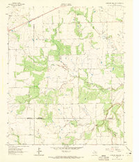
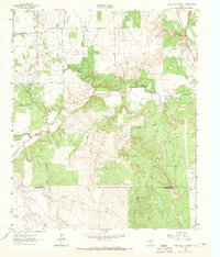
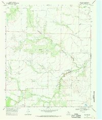
1962 Map of Antelope Creek NW
USGS Topo · Published 1965About this map
The intersection of several North Texas counties—Knox, Baylor, and Throckmorton—reveals a landscape defined by ranching, resource extraction, and the arrival of the railroad in the early 1960s. The northern edge is dominated by the Fort Worth and Denver railroad line, which historically served as a vital artery for moving cattle and crops from this rolling prairie. Local burial sites, such as the Bomarton Cem, provide a direct connection to the early families who settled the area near the Knox and Baylor county line.
Find a feature on this map
16 named features on this map. Tap any name to fly to it.
Don’t see what you’re looking for? This feature index may not catch every label — zoom into the map to look around manually.
Map Details
Editions of this 1962 Antelope Creek NW Map
2 editions found
Other maps of this area

1954 · Wichita Falls
USGS Topo · 1:250,000

1958 · Wichita Falls
USGS Topo · 1:250,000
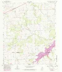
1962 · Antelope Creek SW
USGS Topo · 1:24,000
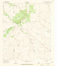
1962 · Antelope Creek SE
USGS Topo · 1:24,000
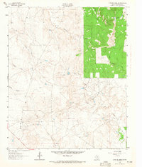
1962 · Antelope Creek NE
USGS Topo · 1:24,000
1966 · Seymour West
USGS Topo · 1:24,000
1966 · Bomarton
USGS Topo · 1:24,000
1967 · Hefner
USGS Topo · 1:24,000
1967 · Mattson
USGS Topo · 1:24,000
1968 · Munday East
USGS Topo · 1:24,000