Old Maps of The Hills, Texas for Hiking & Exploration
Hike through history with 14 historic maps of The Hills. Explore old trails, ghost towns, and forgotten backroads — perfect for outdoor adventurers and local explorers.
- Rediscover forgotten places: Map out old mining camps, roads, and footpaths that no longer exist on modern maps.
- Layer with modern tools: Combine with LiDAR or satellite views to plan hikes through historical terrain.
- Made for exploration: Popular among hikers, overlanders, and local history lovers.
Use these maps to find adventure and explore the hidden past of The Hills.
The Hills, TX maps
(14)- 1896 Map of Austin
 1896 Austin1896 Print · USGSAustin and its surrounding counties are shown in the mid-1890s, capturing the transition from frontier river crossings to a rail-centered regional hub. Researchers can trace historic river access points like Cameron Ferry alongside vanished landmarks such as Johnson's Institute and Moore & Berry's Store.
 - 1897 Map of Austin
 1897 Austin1897 Print · USGSTexas in the late 1890s reveals a capital city defined by its river and an expanding railroad network. Genealogists and historians can trace family-named landmarks and early centers of learning like Saint Edward's College, Johnson's Institute, and Anderson Mill.
 - 1910 Map of Austin
 1910 Austin1910 Print · USGSAustin and the surrounding Travis County hill country are captured here at the start of the twentieth century. Genealogists and researchers can locate pioneer landmarks like Anderson Mill, Mc.Kinney Falls, and numerous river crossings including Lohmann Ford.3 unique versions available
 - 1932 Map of Mt. Bonnell
 1932 Mt. Bonnell1932 Print · USGSThe meanders of the Texas Hill Country are captured here in the early 1930s, just before the landscape was transformed by dam construction. You can trace early river life through multiple historical crossings like Lohmann Ford and rural sites like Cox Spring Sch.2 unique versions available
 - 1954 Map of Austin, 1964 Print
 1954 Austin1964 Print · USGSCentral Texas is captured during a period of steady growth as the capital city and its neighboring farm towns began to modernize. Researchers can trace historic rail corridors like the Southern Pacific RR or locate landmarks such as Bergstrom Air Force Base and Pilot Knob.4 unique versions available
 - 1959 Map of Lake Travis, 1960 Print
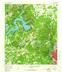 1959 Lake Travis1960 Print · USGSThe Texas Hill Country and the Highland Lakes are captured here during a period of steady growth and ranching. Genealogists can trace early landmarks and family sites like Pond Springs Cem, the Trading Post near Bee Cave, and Schulze Ranch.5 unique versions available
 - 1968 Map of Bee Cave, 1971 Print
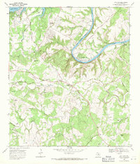 1968 Bee Cave1971 Print · USGSIn the Texas Hill Country during the late sixties, the landscape around Bee Cave was shifting from quiet ranchland to a lakeside retreat. Genealogists and researchers can trace family lines through the White Rock Cem or locate the historic Trading Post and Shield Ranch.3 unique versions available
 - 1985 Map of Austin
 1985 Austin1985 Print · USGSCentral Texas in the mid-eighties reveals a region in transition, balancing rapid urban growth in Austin with deep-rooted rural landscapes. Genealogists and historians can trace family locations near St Johns Ch, the Science Hall schoolhouse, and long-standing communities like Webberville and Manchaca.3 unique versions available
 - 1986 Map of Bee Cave
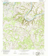 1986 Bee Cave1986 Print · USGSTexas Hill Country life in the mid-1980s is captured here as the Austin suburbs reach west toward the Colorado River. Genealogists can trace local landmarks like Bee Cave Cem, the Trading Post, and family sites such as Roberts Fam and Shield Ranch.
 - 2010 Map of Bee Cave, 2010 Print
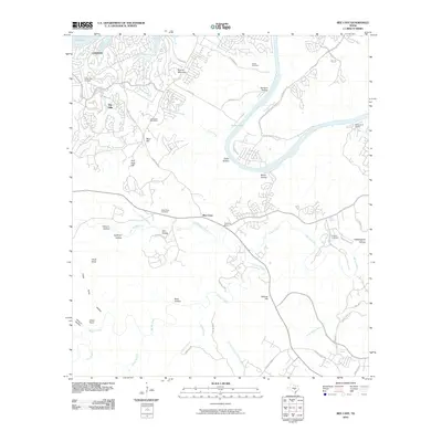 2010 Bee Cave2010 Print · USGSCovers The Hills, including Austin, Lakeway, and other nearby areas
 - 2013 Map of Bee Cave, 2013 Print
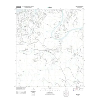 2013 Bee Cave2013 Print · USGSCovers The Hills, including Austin, Lakeway, and other nearby areas
 - 2016 Map of Bee Cave, 2016 Print
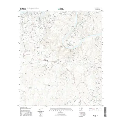 2016 Bee Cave2016 Print · USGSCovers The Hills, including Austin, Lakeway, and other nearby areas
 - 2019 Map of Bee Cave, 2019 Print
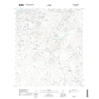 2019 Bee Cave2019 Print · USGSCovers The Hills, including Austin, Lakeway, and other nearby areas
 - 2022 Map of Bee Cave, 2022 Print
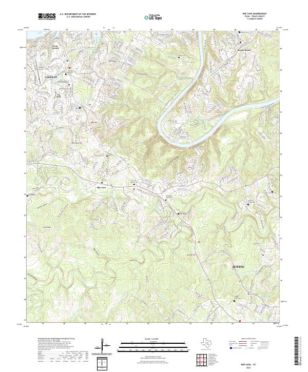 2022 Bee Cave2022 Print · USGSTravis County’s western hills and river bends are captured here during a period of modern growth. Researchers can find deep family roots at White Rock Cem, Patterson Cem, and the historic Bohls Ranch Cemetery North.
End of results
Showing maps 1-14 of 14
Top cities near The Hills
- Austin historical maps
- Round Rock historical maps
- Georgetown historical maps
- Cedar Park historical maps
- Leander historical maps
- Lakeway historical maps
See more
Frequently asked questions
- What are the different types of historical maps available for The Hills?
- What is the oldest map of The Hills?
- Where can I purchase historical maps of The Hills for my home or office?
- Where can I download high-res historical maps of The Hills?
- Are there historical topographic maps available for The Hills?
- Is there historical aerial imagery available for The Hills?
- Where are historical maps of The Hills sourced from?