2000s (21st Century) Maps of Trinity, Texas
Explore 10 historic maps of Trinity from the 2000s (21st Century). These maps offer a rare glimpse into what life looked like during the 2000s — showing old roads, neighborhoods, homes, and landmarks that have changed or disappeared over time.
Whether you're researching your family's past, planning a metal detecting trip, or studying how Trinity's landscape evolved across the 2000s, these high-resolution maps are a powerful tool for exploring the history of this region.
- Focus on a specific era: All maps on this page are from the 2000s, giving you a focused view of this time period.
- See what’s changed: Compare century-old streets, trails, and buildings to today's modern landscape using overlays and satellite layers.
- Research with precision: Use these maps for genealogy, historical research, land use analysis, or educational projects.
- View, download, or print: Maps are fully viewable online in high resolution, and can be downloaded or printed for your own records.
Start exploring Trinity's history through authentic maps from the 2000s. This is your window into the past.
Trinity, TX maps
(10)- 2010 Map of Trinity West, 2010 Print
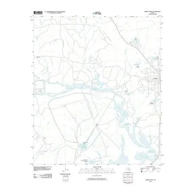 2010 Trinity West2010 Print · USGSCovers Trinity, including Kittrell, Walker County, and other nearby areas
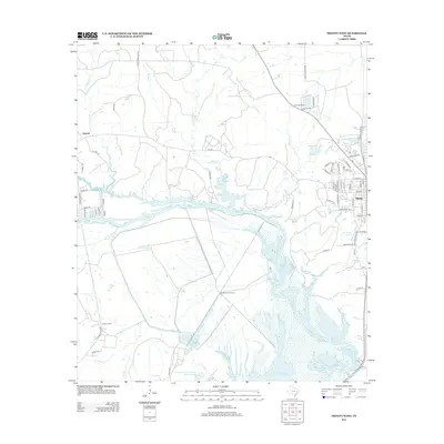
 - 2010 Map of Trinity East, 2010 Print
 2010 Trinity East2010 Print · USGSCovers Trinity, including Mill Town, Walker County, and other nearby areas
 - 2013 Map of Trinity West, 2013 Print
 2013 Trinity West2013 Print · USGSCovers Trinity, including Kittrell, Walker County, and other nearby areas
 - 2013 Map of Trinity East, 2013 Print
 2013 Trinity East2013 Print · USGSCovers Trinity, including Mill Town, Walker County, and other nearby areas
 - 2016 Map of Trinity West, 2016 Print
 2016 Trinity West2016 Print · USGSCovers Trinity, including Kittrell, Walker County, and other nearby areas
 - 2016 Map of Trinity East, 2016 Print
 2016 Trinity East2016 Print · USGSCovers Trinity, including Mill Town, Walker County, and other nearby areas
 - 2019 Map of Trinity West, 2019 Print
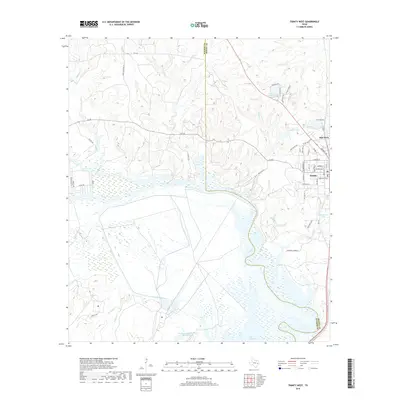 2019 Trinity West2019 Print · USGSCovers Trinity, including Kittrell, Walker County, and other nearby areas
 - 2019 Map of Trinity East, 2019 Print
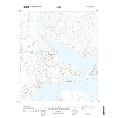 2019 Trinity East2019 Print · USGSCovers Trinity, including Mill Town, Walker County, and other nearby areas
 - 2022 Map of Trinity East, 2022 Print
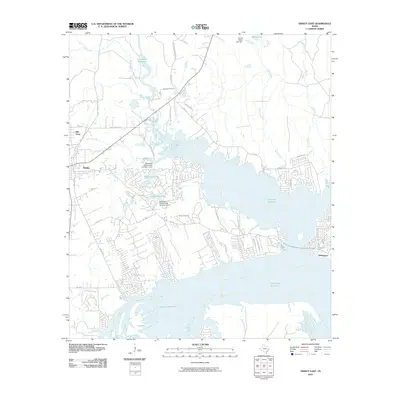
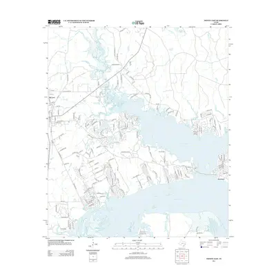
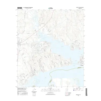
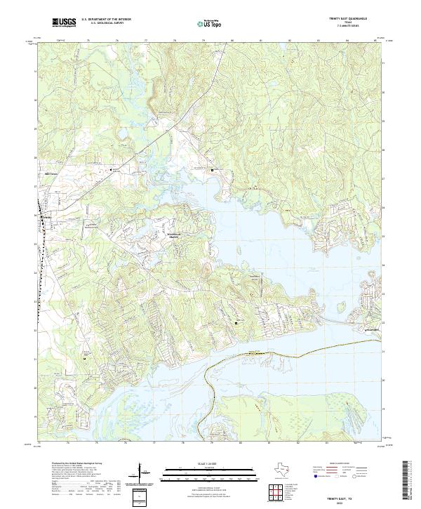 2022 Trinity East2022 Print · USGSTrinity and the shores of Lake Livingston are captured in the early 2020s, showing a landscape defined by water and residential growth. Researchers can trace family sites at French Memorial Cem and Skains Cem or explore the waterfront layouts of Westwood Shores and Sebastopol.
 - 2022 Map of Trinity West, 2022 Print
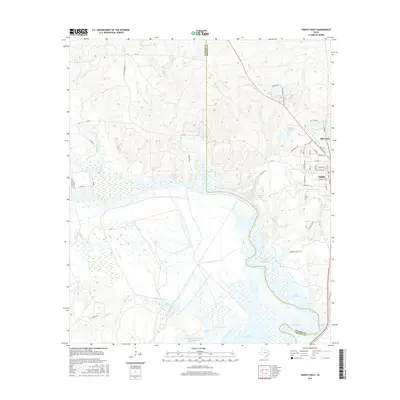
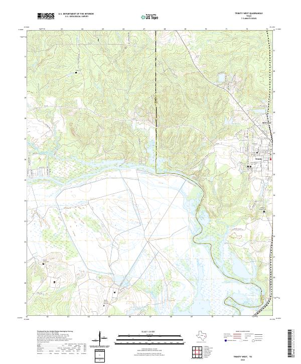 2022 Trinity West2022 Print · USGSThe Trinity River valley in the early twenty-first century reveals a landscape shaped by water and memory at the Walker and Trinity county line. Researchers can trace numerous local burial sites including Cedar Grove Cem, Trinity Black Cem - East, and Chalk Cem.
End of results
Showing maps 1-10 of 10
Top cities near Trinity
- Huntsville historical maps
- Onalaska historical maps
- Groveton historical maps
- Lovelady historical maps
- Riverside historical maps
Top neighborhoods of Trinity
Frequently asked questions
- What are the different types of historical maps available for Trinity?
- What is the oldest map of Trinity?
- Where can I purchase historical maps of Trinity for my home or office?
- Where can I download high-res historical maps of Trinity?
- Are there historical topographic maps available for Trinity?
- Is there historical aerial imagery available for Trinity?
- Where are historical maps of Trinity sourced from?