2020s Maps of Upshur County, Texas
Explore 19 historic maps of Upshur County from the 2020s. These maps offer a rare glimpse into what life looked like during the 2020s — showing old roads, neighborhoods, homes, and landmarks that have changed or disappeared over time.
Whether you're researching your family's past, planning a metal detecting trip, or studying how Upshur County's landscape evolved across the 2020s, these high-resolution maps are a powerful tool for exploring the history of this region.
- Focus on a specific era: All maps on this page are from the 2020s, giving you a focused view of this time period.
- See what’s changed: Compare century-old streets, trails, and buildings to today's modern landscape using overlays and satellite layers.
- Research with precision: Use these maps for genealogy, historical research, land use analysis, or educational projects.
- View, download, or print: Maps are fully viewable online in high resolution, and can be downloaded or printed for your own records.
Start exploring Upshur County's history through authentic maps from the 2020s. This is your window into the past.
Upshur County, TX maps
(19)- 2022 Map of Bettie, 2022 Print
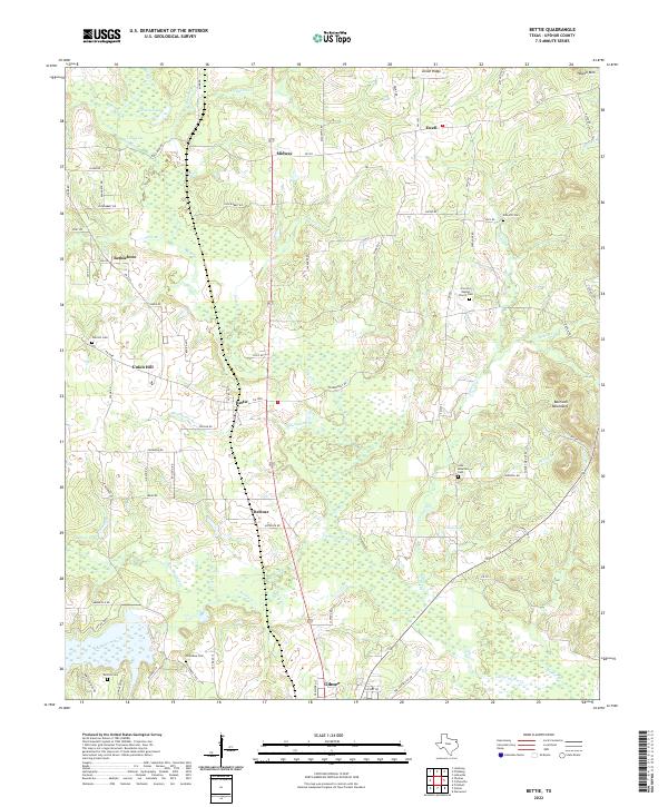 2022 Bettie2022 Print · USGSUpshur County’s wooded landscapes and rural crossroads are captured here in the early twenty-first century. Genealogists can trace family footprints across numerous sites including Oak Hill Cem, Derrick Cem, and the community of Union Hill.
 - 2022 Map of White Oak, 2022 Print
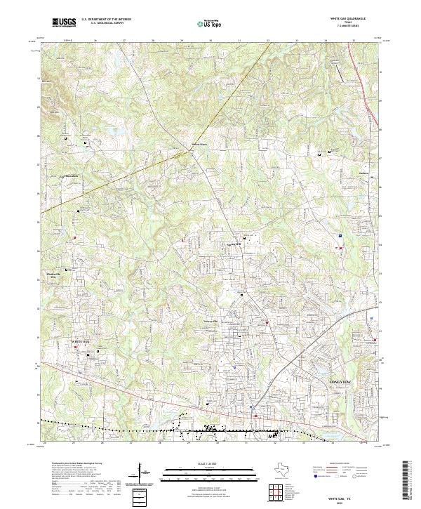 2022 White Oak2022 Print · USGSThe Gregg and Upshur County line area comes alive in this survey, showcasing the growth of White Oak and Longview. Researchers can find numerous family and community sites like White Oak Cem, Teneryville, and Tailwheel Airport.
 - 2022 Map of Pittsburg, 2022 Print
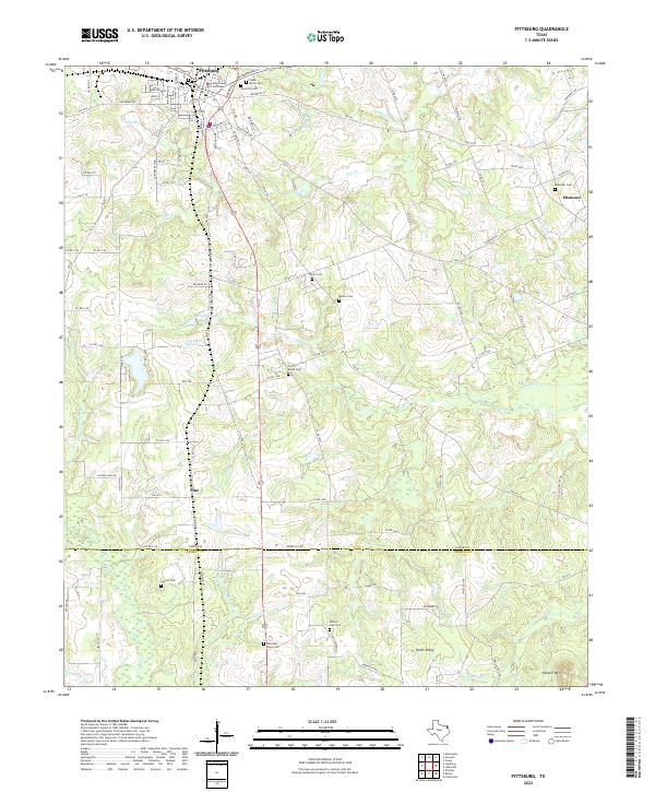 2022 Pittsburg2022 Print · USGSThe city of Pittsburg and the surrounding creek valleys of Camp and Upshur counties are shown here in modern detail. Genealogists can trace numerous burial sites including Rose Hill Cem and Christian Hope Cem, alongside settlements like Pine and Union Ridge.
 - 2022 Map of Coffeeville, 2022 Print
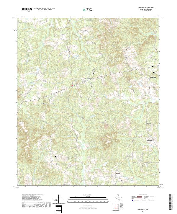 2022 Coffeeville2022 Print · USGSUpshur County’s rolling East Texas timberlands are captured here at the start of the 2020s, revealing a landscape of historic cemeteries and rural crossroads. Family historians can trace the sites of Old Coffeeville Cem and Sand Hill Cem near the small communities of New Mountain and Stamps.
 - 2022 Map of Lafayette, 2022 Print
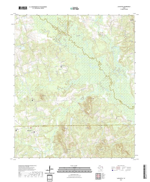 2022 Lafayette2022 Print · USGSCamp County’s wooded creek bottoms and family settlements are captured here in the early twenty-first century. Researchers can locate ancestral burial sites like Riley Cem or Wilks Cem and trace the winding course of Big Cypress Cr.
 - 2022 Map of Ashland, 2022 Print
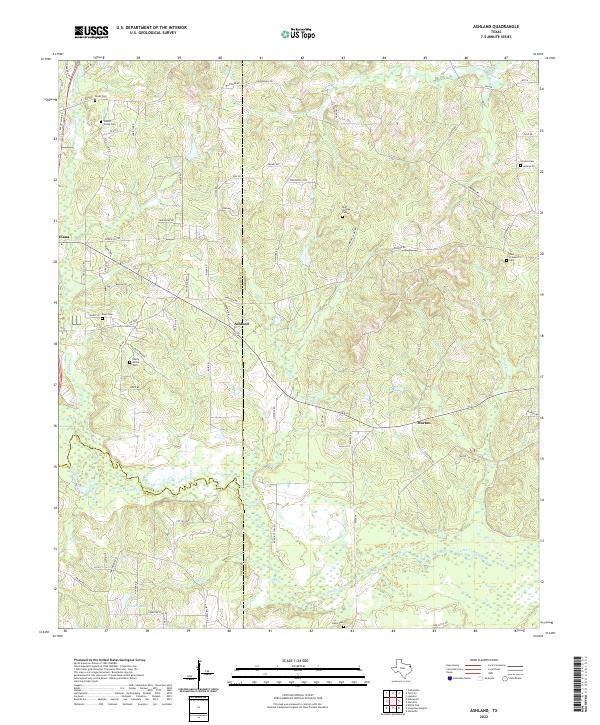 2022 Ashland2022 Print · USGSThe tri-county border of Upshur, Harrison, and Gregg Counties comes to life in the early 2020s through its rural settlements and waterways. Genealogists can trace family legacies at Walnut Creek Cem, Smyrna Cem, and along the banks of Little Cypress Bayou.
 - 2022 Map of Gilmer, 2022 Print
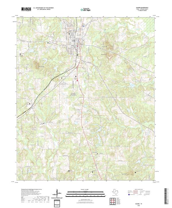 2022 Gilmer2022 Print · USGSUpshur County at the start of the 2020s shows a landscape where civic life in Gilmer meets a dense network of family-named landmarks. Researchers can locate historic burial sites like Old Gilmer Cem or trace the geography of Underwood Mtn and Shelton Lake.
 - 2022 Map of Ore City, 2022 Print
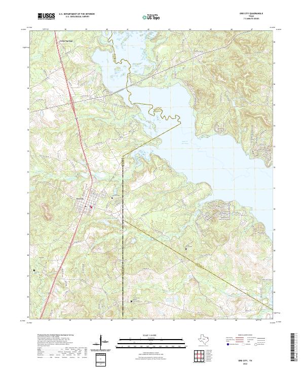 2022 Ore City2022 Print · USGSThe Piney Woods of East Texas come to life in this contemporary survey of the tri-county borderlands. Genealogists can trace family footprints through sites like Ore City Cem, Patto Settlement, and the County Line Baptist Church.
 - 2022 Map of Lone Star, 2022 Print
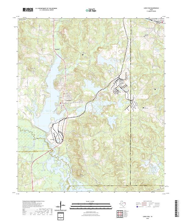 2022 Lone Star2022 Print · USGSLone Star and the surrounding iron-rich hills of Morris County appear here in the early twenty-first century, centered on industrial history and significant water reservoirs. Researchers can locate numerous family and community sites like Cheatham Cemetery, Mount Pilgrim Church Cemetery, and the iron works near Lone Star.
 - 2022 Map of Rhonesboro, 2022 Print
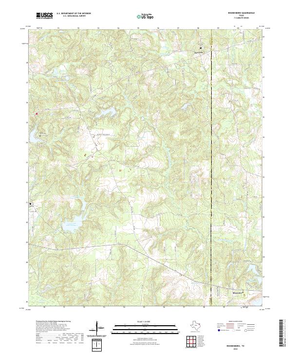 2022 Rhonesboro2022 Print · USGSThe Wood and Upshur county line in East Texas comes alive in this 2022 survey, showing a landscape defined by timber and creeks. Researchers can locate family burial sites at Perryville Cem and Smith Family Cem or trace the waters of Little Cypress Cr.
 - 2022 Map of Pritchett, 2022 Print
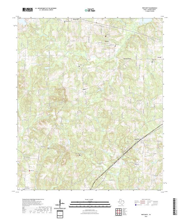 2022 Pritchett2022 Print · USGSUpshur County in the 2020s remains a landscape of dispersed rural settlements and small family landmarks. Local historians can trace established communities like Pritchett and Latch, or locate historical burial sites such as Sanders Cem and Hopewell Cem.
 - 2022 Map of Thomas, 2022 Print
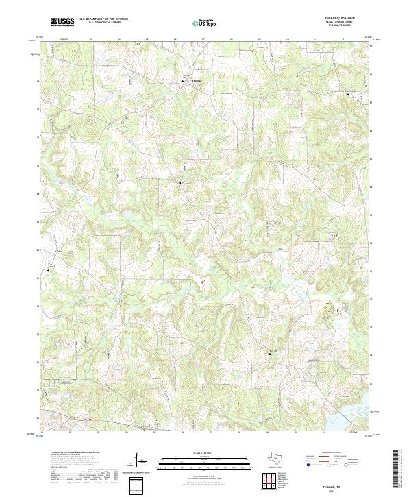 2022 Thomas2022 Print · USGSUpshur County in the early 2020s remains a landscape of quiet creek bottoms and scattered rural communities. Genealogists can trace family roots at Soules Chapel Cemetery and Grice Cemetery or explore the wetlands around Little Cypress Creek.
 - 2022 Map of Glenwood, 2022 Print
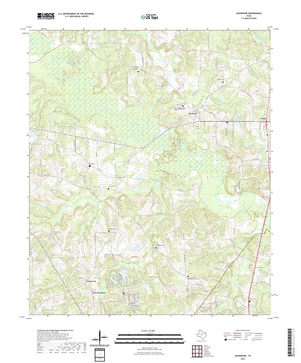 2022 Glenwood2022 Print · USGSUpshur and Gregg counties come together in these East Texas bottomlands during the early twenty-first century. Researchers can trace rural lineages through numerous burial grounds like Floyd Cem, Mattox Cem, and Glenwood Cem.
 - 2022 Map of Leesburg, 2022 Print
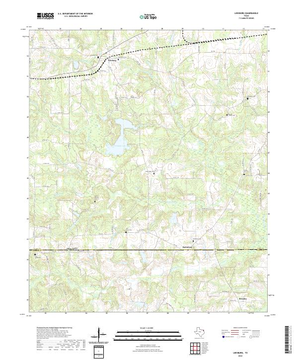 2022 Leesburg2022 Print · USGSNortheast Texas in the early 2020s remains a landscape of deep-rooted rural communities and family cemeteries. Genealogists can trace local heritage through numerous burial sites like Oak Grove Cem, Hickory Hill Cem, and Centeridge Cem.
 - 2022 Map of Gladewater, 2022 Print
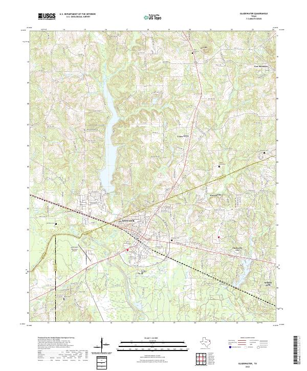 2022 Gladewater2022 Print · USGSThe Gladewater area in the modern era shows a landscape where industrial infrastructure and quiet creek valleys meet. Genealogists can locate family burial grounds at Red Rock Cem, Union Grove Cem, and Rosedale Cem.
 - 2022 Map of Newsome, 2022 Print
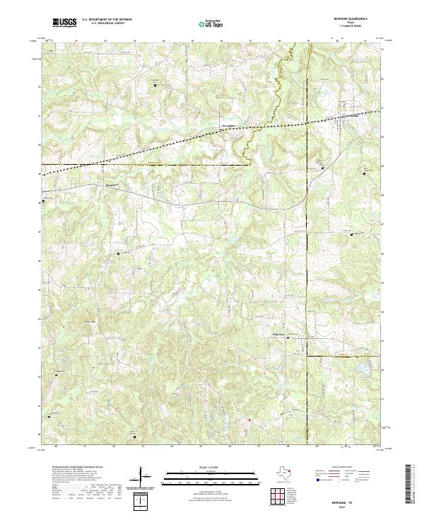 2022 Newsome2022 Print · USGSIn the contemporary East Texas timberlands, this survey traces the rural intersections of four counties. Researchers can locate numerous family and community burial sites, including Maple Springs Cem, Hepsibah Cem, and Monday Cem.
 - 2022 Map of Shady Grove, 2022 Print
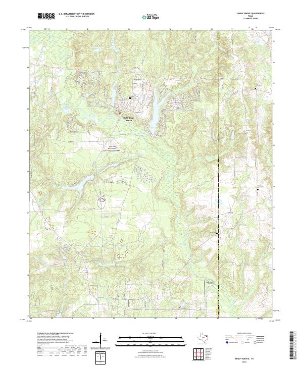 2022 Shady Grove2022 Print · USGSWood and Upshur Counties appear here in the early 2020s, showing a landscape defined by private ranch developments and rural watercourses. Researchers can locate family landmarks like Little Mound Cem and Shady Grove Cem or trace the drainage of Big Sandy Cr.
 - 2022 Map of Big Sandy, 2022 Print
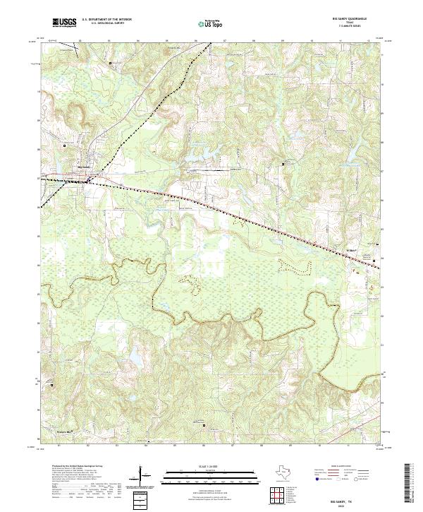 2022 Big Sandy2022 Print · USGSBig Sandy and the Sabine River bottomlands are captured here in the early twenty-first century as the area maintains its rural character. Genealogists and researchers can map numerous family burial sites, including the Barber Cem, Mings Cem, and Waters Bluff Cem.
 - 2022 Map of Hawkins, 2022 Print
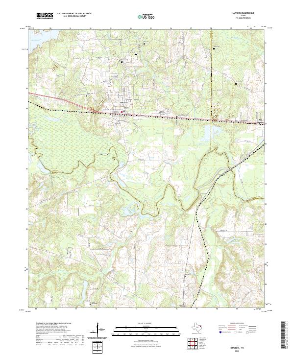 2022 Hawkins2022 Print · USGSEast Texas at the crossroads of Wood, Smith, and Upshur counties reveals a landscape shaped by the Sabine River and academic growth. Researchers can trace family sites at Jarvis Christian College Cem, Mount Olive Cem, and Fonda Cem.
End of results
Showing maps 1-19 of 19
Top cities of Upshur County
- Gilmer historical maps
- Big Sandy historical maps
- Ore City historical maps
- East Mountain historical maps
- Union Grove historical maps
- Union Grove historical maps
Frequently asked questions
- What are the different types of historical maps available for Upshur County?
- What is the oldest map of Upshur County?
- Where can I purchase historical maps of Upshur County for my home or office?
- Where can I download high-res historical maps of Upshur County?
- Are there historical topographic maps available for Upshur County?
- Is there historical aerial imagery available for Upshur County?
- Where are historical maps of Upshur County sourced from?