2010s Maps of Upshur County, Texas
Explore 76 historic maps of Upshur County from the 2010s. These maps offer a rare glimpse into what life looked like during the 2010s — showing old roads, neighborhoods, homes, and landmarks that have changed or disappeared over time.
Whether you're researching your family's past, planning a metal detecting trip, or studying how Upshur County's landscape evolved across the 2010s, these high-resolution maps are a powerful tool for exploring the history of this region.
- Focus on a specific era: All maps on this page are from the 2010s, giving you a focused view of this time period.
- See what’s changed: Compare century-old streets, trails, and buildings to today's modern landscape using overlays and satellite layers.
- Research with precision: Use these maps for genealogy, historical research, land use analysis, or educational projects.
- View, download, or print: Maps are fully viewable online in high resolution, and can be downloaded or printed for your own records.
Start exploring Upshur County's history through authentic maps from the 2010s. This is your window into the past.
Upshur County, TX maps
(76)- 2010 Map of Big Sandy, 2010 Print
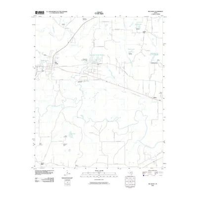 2010 Big Sandy2010 Print · USGSBig Sandy and the Sabine River basin are captured here in the early 2000s, showing a landscape shaped by water management and rural communities. Researchers can locate family landmarks like Waters Bluff Cemetery or trace the development of Ambassador Field and the Seventh Day Adventist Camp.
 - 2010 Map of Hawkins, 2010 Print
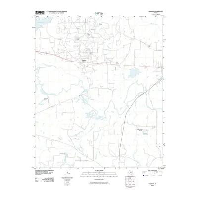 2010 Hawkins2010 Print · USGSHawkins and its surrounding oil fields are captured here in the early twenty-first century as the landscape balances industry and rural tradition. Researchers can trace family sites at Haney Cemetery or explore the water-rich bottomlands near the Sabine River and Pinehurst Farm.
 - 2010 Map of Shady Grove, 2010 Print
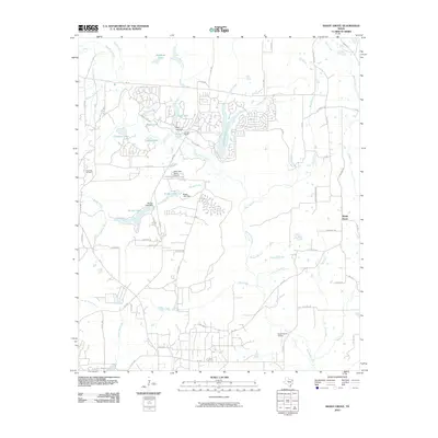 2010 Shady Grove2010 Print · USGSHolly Lake Ranch and the surrounding Wood County countryside are captured here in a decade of suburban development and rural industry. Researchers can trace the layout of Holly Lake Ranch, locate the Pine Mills Oil Field, and find family landmarks like Clonts Ranch.
 - 2010 Map of Rhonesboro, 2010 Print
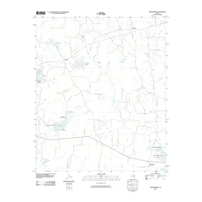 2010 Rhonesboro2010 Print · USGSWood County’s timberlands and rural junctions are captured here in the early twenty-first century. Researchers can trace family sites at Smith Cemetery and Robert Cemetery or locate the quiet crossroads of Ogburn and Perryville.
 - 2010 Map of Leesburg, 2010 Print
 2010 Leesburg2010 Print · USGSEast Texas rural life and industry intersect in this 2010 study of Camp County. Genealogists and local historians can trace family roots through settlements like Leesburg and Hickory Hill or find specific locations like Hopewell Cemetery and the Newsome Oil Field.
 - 2010 Map of White Oak, 2010 Print
 2010 White Oak2010 Print · USGSGregg County's energy heritage and suburban growth meet in this 2010 survey of the Longview area. Genealogists and historians can trace the legacy of the East Texas Oil Field alongside local sites like Hunter Cemetery and Amerada Camp.
 - 2010 Map of Ore City, 2010 Print
 2010 Ore City2010 Print · USGSOre City and the western shores of the Lake O' the Pines are documented here in the early twenty-first century. Researchers can trace local landmarks like Mims Chapel, Hall Airport, and the Lone Star Steel Lake Dam along the water's edge.
 - 2010 Map of Bettie, 2010 Print
 2010 Bettie2010 Print · USGSThe rural landscape of Upshur County is captured here in the early twenty-first century, showing a network of small settlements and creek-side communities. Researchers can trace local lineage at Zion Hill Cemetery or locate old rail stops like Smith Siding.
 - 2010 Map of Gilmer, 2010 Print
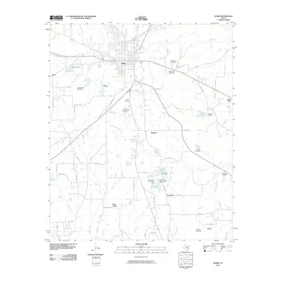 2010 Gilmer2010 Print · USGSUpshur County’s wooded hills and small water gaps are recorded here in the early 21st century. Genealogists and local historians can trace the roads around Mings Chapel and Piedmont, or locate the Reynolds Cemetery near the slopes of Tidwell Mountain.
 - 2010 Map of Gladewater, 2010 Print
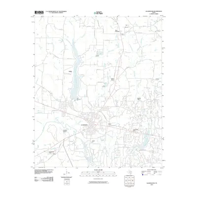 2010 Gladewater2010 Print · USGSGladewater and its neighboring East Texas communities are shown at the start of the decade, situated along the Sabine River and the shores of LAKE GLADEWATER. Genealogists and local historians can locate several family and community landmarks, including Edwards Cemetery, Wood Cemetery, and the settlement at Union Grove.
 - 2010 Map of Pittsburg, 2010 Print
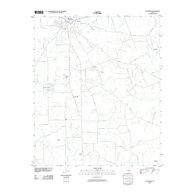 2010 Pittsburg2010 Print · USGSCamp County's rural crossroads and family settlements are captured here in the early twenty-first century. Genealogists and local historians can locate several burial grounds, including Rosehill Cemetery and Smart Cemetery, and trace old routes through Pine and Ebenezer.
 - 2010 Map of Lone Star, 2010 Print
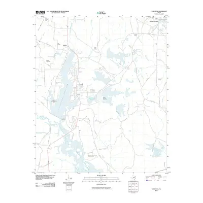 2010 Lone Star2010 Print · USGSTexas industry and rural history meet at the turn of the decade in this detailed survey of the area around Lone Star and Hughes Springs. Genealogists and researchers can trace local landmarks like Iron Bluff Cemetery, the Black Mountain Mine, and the sprawling Ellison Creek Reservoir.
 - 2010 Map of Lafayette, 2010 Print
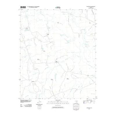 2010 Lafayette2010 Print · USGSIn the early twenty-first century, this East Texas landscape was a quiet network of rural crossroads and forested summits. Genealogists and local historians can trace the roads connecting Lafayette, Center Point, and Holly Springs, or locate family sites near Slaton Cemetery and Adams Mountain.
 - 2010 Map of Coffeeville, 2010 Print
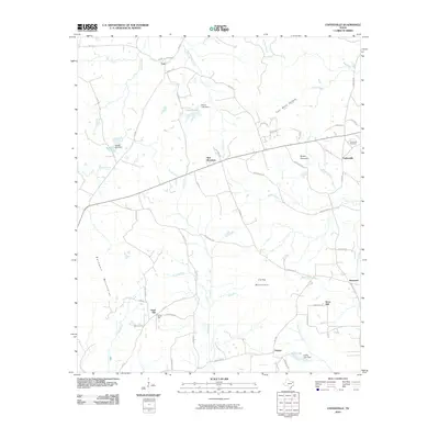 2010 Coffeeville2010 Print · USGSUpshur County in the early twenty-first century reveals a landscape of wooded ridges and small rural settlements. Researchers can trace family history at the Coffeeville Cemetery or locate old community hubs like Stamps, Cox, and Boxwood.
 - 2010 Map of Thomas, 2010 Print
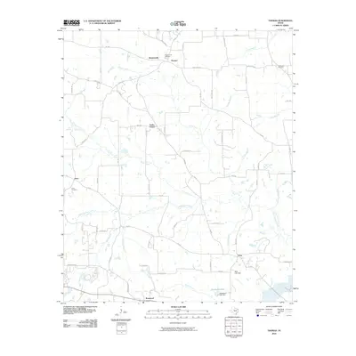 2010 Thomas2010 Print · USGSUpshur County’s rural landscape is captured here in the early twenty-first century, showing a network of small settlements and family cemeteries. Researchers can trace the environs of Simpsonville, Rosewood, and Grice, or locate sites like Crossroad Cemetery.
 - 2010 Map of Newsome, 2010 Print
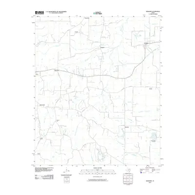 2010 Newsome2010 Print · USGSThis rural portion of Wood County was documented in the early twenty-first century as a landscape of small crossroads and creek branches. Genealogists can locate several remote burial sites like Coldwater Cemetery and Willard Cemetery near the community of Musgrove.
 - 2010 Map of Glenwood, 2010 Print
 2010 Glenwood2010 Print · USGSUpshur County residential growth and industrial history are centered here in the early 2000s. Genealogists and historians can locate numerous family burial sites like Mattox Cemetery and trace the local impact of the New Diana Oil Field.
 - 2010 Map of Pritchett, 2010 Print
 2010 Pritchett2010 Print · USGSUpshur County is captured here in the early 21st century, showing a rural landscape defined by small communities and family burial grounds. Researchers can trace local history through Kelsey Cemetery, New Hope Cemetery, and the high point of Peter Hayes Hill.
 - 2010 Map of Ashland, 2010 Print
 2010 Ashland2010 Print · USGSNortheast Texas at the start of the decade reveals a landscape of quiet rural settlements and winding bayous. Genealogists can trace family roots at Ashland Cemetery, Simmons Cemetery, and Old Diana, or explore the drainages of Little Cypress Bayou.
 - 2012 Map of Newsome, 2012 Print
 2012 Newsome2012 Print · USGSThe crossroads of Newsome and Scroggins appear in this 2010s survey of Northeast Texas, showing the area's rural development and creek networks. Genealogists can locate several family landmarks including Monday Cem, Coldwater Cem, and the settlement of Musgrove.
 - 2012 Map of Leesburg, 2012 Print
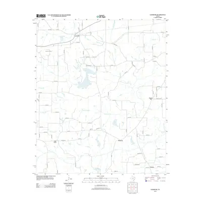 2012 Leesburg2012 Print · USGSCamp County, Texas, is shown in the early twenty-first century, revealing a rural landscape shaped by small communities and petroleum extraction. Genealogists can trace family roots through settlements like Piney Grove and Matinburg or locate ancestors at Hopewell Cem.
 - 2012 Map of Rhonesboro, 2012 Print
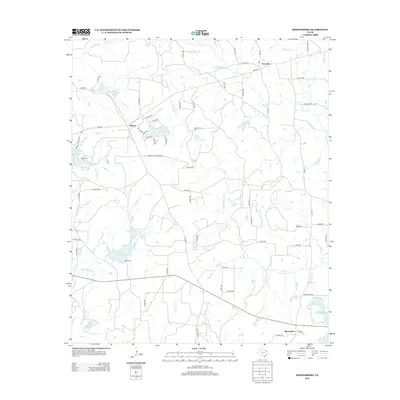 2012 Rhonesboro2012 Print · USGSWood County in the early twenty-first century remains a landscape of quiet rural settlements and winding creeks. Local researchers can trace family landmarks and historical sites like Smith Cem, Perryville, and the waters of Little Cypress Cr.
 - 2012 Map of Hawkins, 2012 Print
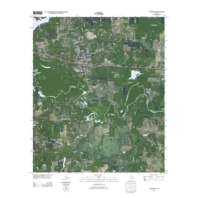 2012 Hawkins2012 Print · USGSEast Texas river bottomlands and oil country come into focus in this 2012 study of the corridor between Hawkins and Big Sandy. Local historians can trace the grounds of Jarvis Christian Coll, locate several family cemeteries like Vernon Cem, and map the extent of the Hawkins Oil Field.
 - 2012 Map of Shady Grove, 2012 Print
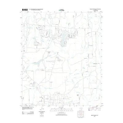 2012 Shady Grove2012 Print · USGSWood County’s wooded lake country and residential ranch developments are documented here in the early twenty-first century. Genealogists and researchers can trace local family landmarks and industrial sites like Clonts Ranch, Shady Grove, and the Pine Mills Oil Field.
 - 2012 Map of Pritchett, 2012 Print
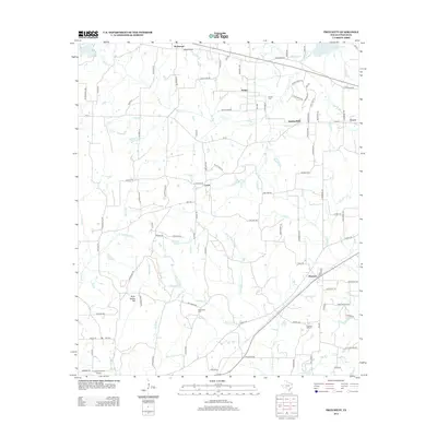 2012 Pritchett2012 Print · USGSUpshur County’s rural communities come into focus during this 2012 survey, showing the enduring settlement patterns of East Texas. Genealogists can trace family connections through markers like Kelsey Cem, the small airstrip at Crosscut Field Airport, and the community of Latch.
Showing maps 1-25 of 76
Top cities of Upshur County
- Gilmer historical maps
- Big Sandy historical maps
- Ore City historical maps
- East Mountain historical maps
- Union Grove historical maps
- Union Grove historical maps
Frequently asked questions
- What are the different types of historical maps available for Upshur County?
- What is the oldest map of Upshur County?
- Where can I purchase historical maps of Upshur County for my home or office?
- Where can I download high-res historical maps of Upshur County?
- Are there historical topographic maps available for Upshur County?
- Is there historical aerial imagery available for Upshur County?
- Where are historical maps of Upshur County sourced from?