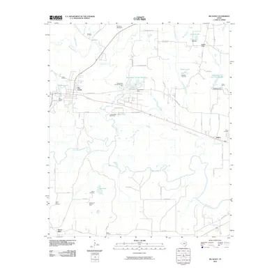
2010 Map of Big Sandy
USGS Topo · Published 2010About this map
Sabine River waters and complex drainage networks dominate the landscape of southern Upshur County, where the town of Big Sandy serves as a central hub. This early 21st-century survey reveals a region defined by its water resources, featuring numerous engineered structures such as the Ambassador College Reservoir Dam and the Longview Big Sandy Dam. The presence of specialized sites like the Seventh Day Adventist Camp and Camp Natowa suggests the area's ongoing role as a place for community retreats and recreation. For genealogists, the map is particularly useful, providing exact locations for several local burial grounds including Chilton Cemetery, Hoover Cemetery, and Waters Bluff Cemetery. The topography transitions from the lowlands of Little White Oak Creek to the distinct prominence of Pinnacle Mountain in the north, offering a clear view of how the physical environment influenced settlement patterns near Wilkins and Center Point.
Find a feature on this map
66 named features on this map. Tap any name to fly to it.
Don’t see what you’re looking for? This feature index may not catch every label — zoom into the map to look around manually.
Map Details
Editions of this 2010 Big Sandy Map
This is the sole edition of this map. No revisions or reprints were ever made.
Other maps of this area

1936 · Kilgore
USGS Topo · 1:48,000

1938 · Winona
USGS Topo · 1:48,000

1940 · Kilgore
USGS Topo · 1:62,500

1943 · Winona
USGS Topo · 1:62,500

1956 · Tyler
USGS Topo · 1:250,000

1960 · Shady Grove
USGS Topo · 1:24,000

1960 · Hawkins
USGS Topo · 1:24,000

1960 · Big Sandy
USGS Topo · 1:24,000

1960 · Pritchett
USGS Topo · 1:24,000

1960 · Gilmer
USGS Topo · 1:24,000