Old Maps of Sabinal, Texas for Genealogy
Trace your family roots with 11 historic maps of Sabinal. These high-res maps reveal old neighborhoods, homesites, landmarks, and streets — helping you uncover where your ancestors lived and how the area evolved over time.
- Explore historic neighborhoods: Identify where your relatives may have lived in the 1800s or 1900s.
- Compare maps over time: Trace the changes in streets, buildings, and landmarks for multi-generational research.
- Perfect for genealogy & ancestry research: Used by family historians and researchers to map out lineage and migration.
These maps are an incredible resource for exploring your personal connection to Sabinal's past.
Sabinal, TX maps
(11)- 1954 Map of San Antonio, 1964 Print
 1954 San Antonio1964 Print · USGSSan Antonio and the Texas Hill Country are captured here in the mid-fifties, showing a landscape defined by massive military air bases and the rising Canyon Reservoir. Trace family ties through historic rail towns like D'Hanis and Castroville or explore the Cold War footprint of Lackland AFB and Randolph AFB.3 unique versions available
 - 1956 Map of Sabinal
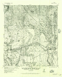 1956 Sabinal1956 Print · USGSRanching and rail transit define this South Texas landscape in the mid-1950s. Genealogists and historians can trace family holdings like the A Rothe Ranch, locate the industry of the Brick Yard, and follow the old Fort Clark-San Antonio Road past Sabinal.
 - 1957 Map of San Antonio
 1957 San Antonio1957 Print · USGSSan Antonio and the Texas Hill Country are shown here during the mid-fifties, capturing the region's expanding post-war military and transportation footprint. Genealogists and local historians can trace the early residential boundaries of Alamo Heights or locate rural landmarks like St Hedwig and Medina Lake.
 - 1970 Map of Sabinal, 1973 Print
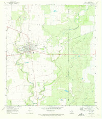 1970 Sabinal1973 Print · USGSThe community of Sabinal thrives at the intersection of rail and river during the early 1970s. Genealogists can locate family landmarks such as St Patrick Cem and Davenport Cem, or trace the Southern Pacific line past the local Rodeo Ground.
 - 1985 Map of Uvalde
 1985 Uvalde1985 Print · USGSUvalde and the surrounding river valleys are captured here in the mid-eighties as a busy crossroads of rail and ranching. Genealogists can locate family sites near Frio Town or trace the Southern Pacific line through Knippa and Sabinal.
 - 1992 Map of Uvalde
 1992 Uvalde1992 Print · USGSThe Uvalde and Hondo corridors in the early nineties show a region where the Southern Pacific rail line met a complex network of river valleys. You can trace established family-named landmarks and infrastructure from the Taylor Ina Oil Field to the Uvalde National Fish Hatchery and Garner State Park.
 - 2010 Map of Sabinal, 2010 Print
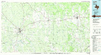
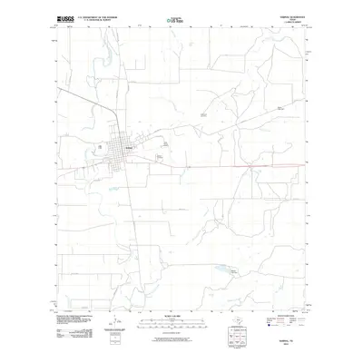 2010 Sabinal2010 Print · USGSCovers Sabinal, including Medina County, Uvalde County, and other nearby areas
 - 2013 Map of Sabinal, 2013 Print
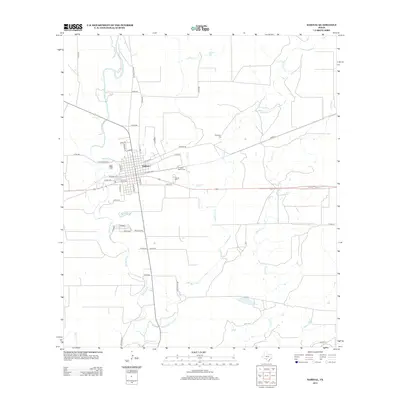 2013 Sabinal2013 Print · USGSCovers Sabinal, including Medina County, Uvalde County, and other nearby areas
 - 2016 Map of Sabinal, 2016 Print
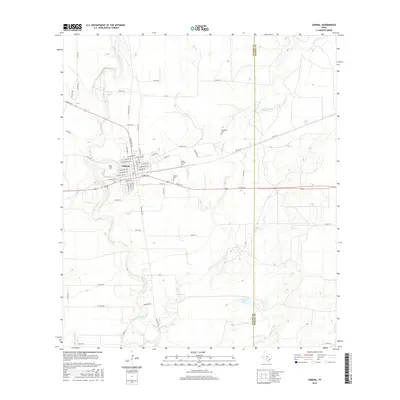 2016 Sabinal2016 Print · USGSCovers Sabinal, including Medina County, Uvalde County, and other nearby areas
 - 2019 Map of Sabinal, 2019 Print
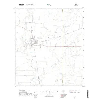 2019 Sabinal2019 Print · USGSCovers Sabinal, including Medina County, Uvalde County, and other nearby areas
 - 2022 Map of Sabinal, 2022 Print
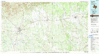
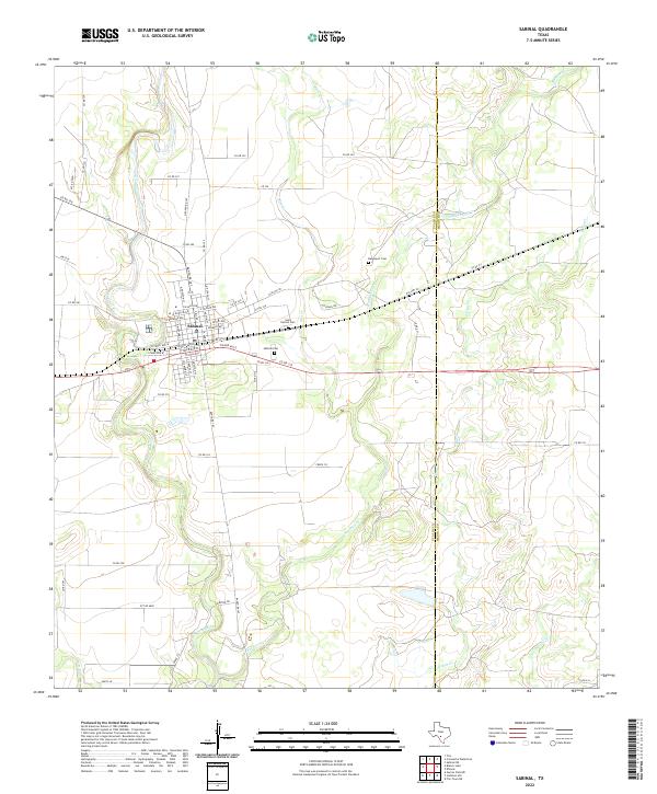 2022 Sabinal2022 Print · USGSThe town of Sabinal and the surrounding Uvalde County ranchlands are detailed here in the early twenty-first century. Researchers can trace local genealogy and land use through Saint Patrick Cem, Sabinal Cem, and the winding Sabinal River.
End of results
Showing maps 1-11 of 11
Top cities near Sabinal
Frequently asked questions
- What are the different types of historical maps available for Sabinal?
- What is the oldest map of Sabinal?
- Where can I purchase historical maps of Sabinal for my home or office?
- Where can I download high-res historical maps of Sabinal?
- Are there historical topographic maps available for Sabinal?
- Is there historical aerial imagery available for Sabinal?
- Where are historical maps of Sabinal sourced from?