Old Maps of Uvalde, Texas for Hiking & Exploration
Hike through history with 18 historic maps of Uvalde. Explore old trails, ghost towns, and forgotten backroads — perfect for outdoor adventurers and local explorers.
- Rediscover forgotten places: Map out old mining camps, roads, and footpaths that no longer exist on modern maps.
- Layer with modern tools: Combine with LiDAR or satellite views to plan hikes through historical terrain.
- Made for exploration: Popular among hikers, overlanders, and local history lovers.
Use these maps to find adventure and explore the hidden past of Uvalde.
Uvalde, TX maps
(18)- 1898 Map of Uvalde
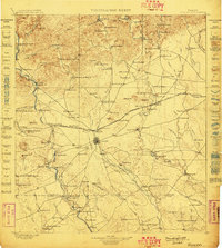 1898 Uvalde1898 Print · USGSTexas ranching culture and early rail expansion meet in the late 1890s across this detailed landscape. Genealogists and researchers can trace family-named estates like Molesworth Ranch, locate the Sansom P.O., and find industrial relics like the Silver Mine.3 unique versions available
 - 1899 Map of Uvalde, 1931 Print
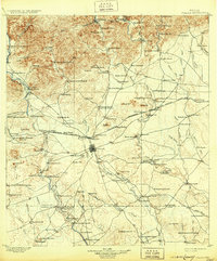 1899 Uvalde1931 Print · USGSThe South Texas ranching frontier comes into focus during the late nineteenth century as railroads began to transform the cattle economy. Researchers can trace family ranch lands such as McDaniels Ranch, locate the Sansom P.O. at Uvalde, and find local landmarks like Myricks Upper Apiary.
 - 1954 Map of San Antonio, 1964 Print
 1954 San Antonio1964 Print · USGSSan Antonio and the Texas Hill Country are captured here in the mid-fifties, showing a landscape defined by massive military air bases and the rising Canyon Reservoir. Trace family ties through historic rail towns like D'Hanis and Castroville or explore the Cold War footprint of Lackland AFB and Randolph AFB.3 unique versions available
 - 1957 Map of San Antonio
 1957 San Antonio1957 Print · USGSSan Antonio and the Texas Hill Country are shown here during the mid-fifties, capturing the region's expanding post-war military and transportation footprint. Genealogists and local historians can trace the early residential boundaries of Alamo Heights or locate rural landmarks like St Hedwig and Medina Lake.
 - 1971 Map of Garner Field, 1974 Print
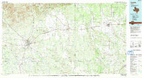
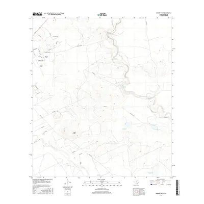
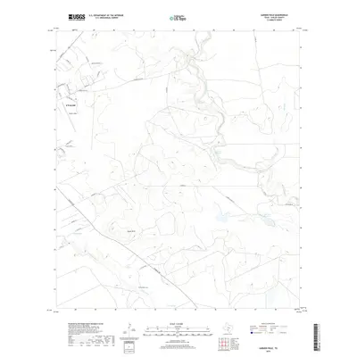
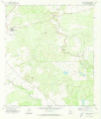 1971 Garner Field1974 Print · USGSUvalde County in the early 1970s reveals a landscape defined by the convergence of the Frio River and the growing campus of Southwest Texas Jr College. Researchers can trace the rural property boundaries of the day, identifying local landmarks like Garner Field, Toadstool Waterhole, and the Rodeo Ground.
 - 1971 Map of Uvalde, 1974 Print
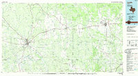
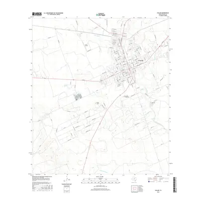
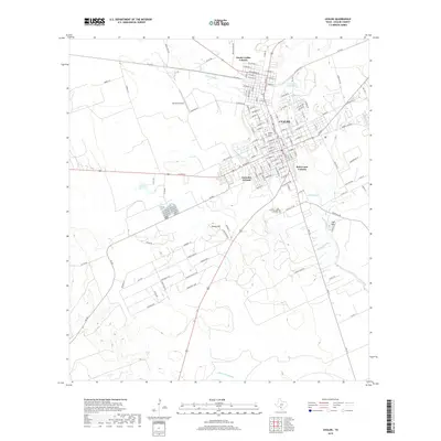
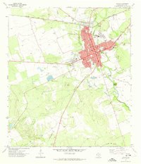 1971 Uvalde1974 Print · USGSUvalde and its southern ranchlands are documented here in the early seventies, showing a growing community centered on the railroad. Researchers can locate civic landmarks like the Fort Inge (Historical Site), the Honey Bowl Stadium, and the Uvalde National Fish Hatchery.2 unique versions available
 - 1985 Map of Uvalde
 1985 Uvalde1985 Print · USGSUvalde and the surrounding river valleys are captured here in the mid-eighties as a busy crossroads of rail and ranching. Genealogists can locate family sites near Frio Town or trace the Southern Pacific line through Knippa and Sabinal.
 - 1992 Map of Uvalde
 1992 Uvalde1992 Print · USGSThe Uvalde and Hondo corridors in the early nineties show a region where the Southern Pacific rail line met a complex network of river valleys. You can trace established family-named landmarks and infrastructure from the Taylor Ina Oil Field to the Uvalde National Fish Hatchery and Garner State Park.
 - 2010 Map of Uvalde, 2010 Print
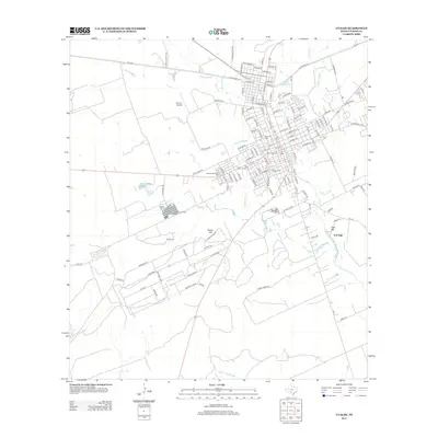
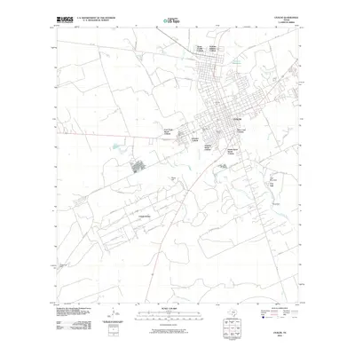 2010 Uvalde2010 Print · USGSCovers Uvalde, including Uvalde Estates, Uvalde County, and other nearby areas
 - 2010 Map of Garner Field, 2010 Print
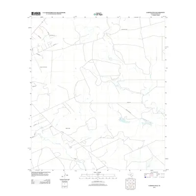
 2010 Garner Field2010 Print · USGSCovers Uvalde, including Uvalde County, United States, and other nearby areas
 - 2013 Map of Uvalde, 2013 Print
 2013 Uvalde2013 Print · USGSCovers Uvalde, including Uvalde Estates, Uvalde County, and other nearby areas
 - 2013 Map of Garner Field, 2013 Print
 2013 Garner Field2013 Print · USGSCovers Uvalde, including Uvalde County, United States, and other nearby areas
 - 2016 Map of Garner Field, 2016 Print
 2016 Garner Field2016 Print · USGSCovers Uvalde, including Uvalde County, United States, and other nearby areas
 - 2016 Map of Uvalde, 2016 Print
 2016 Uvalde2016 Print · USGSCovers Uvalde, including Uvalde Estates, Uvalde County, and other nearby areas
 - 2019 Map of Uvalde, 2019 Print
 2019 Uvalde2019 Print · USGSCovers Uvalde, including Uvalde Estates, Uvalde County, and other nearby areas
 - 2019 Map of Garner Field, 2019 Print
 2019 Garner Field2019 Print · USGSCovers Uvalde, including Uvalde County, United States, and other nearby areas
 - 2022 Map of Uvalde, 2022 Print
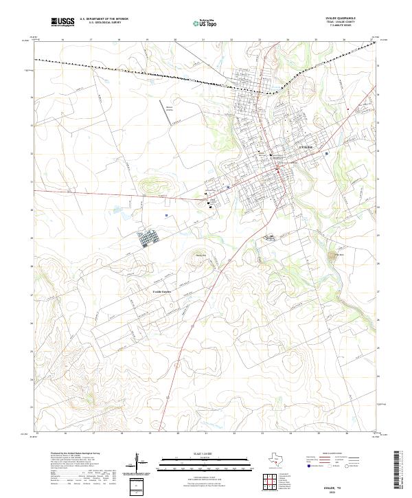 2022 Uvalde2022 Print · USGSThe Texas Brush Country city of Uvalde and the southern residential expansion of Uvalde Estates appear here in the early twenty-first century. Genealogists can trace family records at the Uvalde County Courthouse and several nearby burial grounds like Hillcrest Cem and Pioneer Park Cem.
 - 2022 Map of Garner Field, 2022 Print
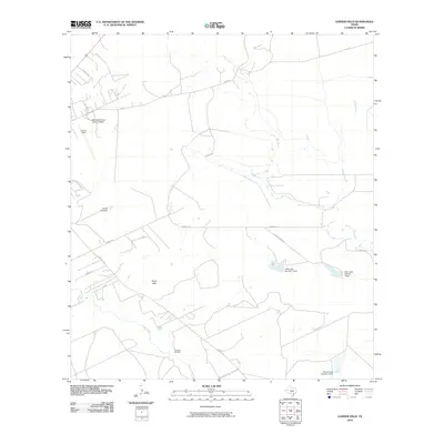
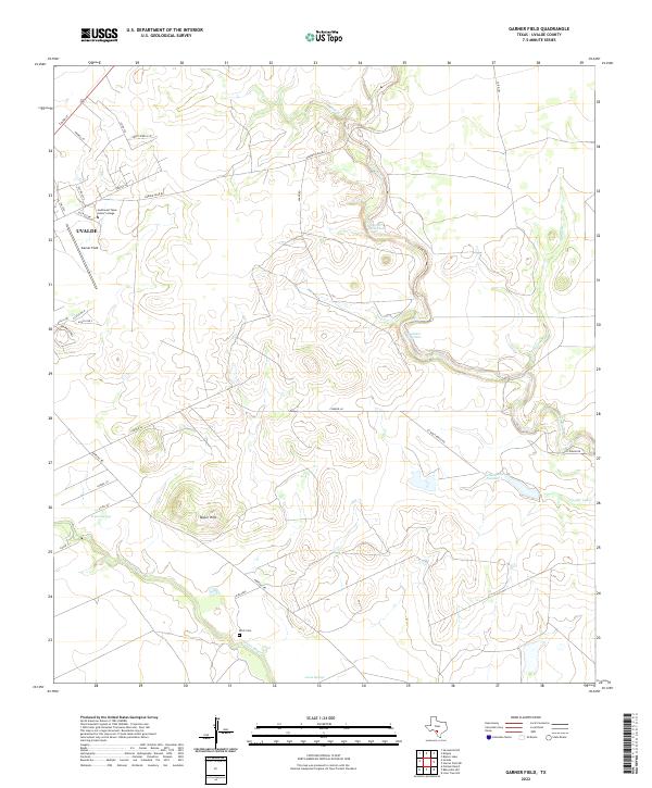 2022 Garner Field2022 Print · USGSUvalde and its southeastern ranch lands are shown in detail during the early 2020s, highlighting the area's transition from campus to creek bed. Researchers can trace local landmarks from Southwest Texas Junior College to the Ditch Cem and Leona Springs.
End of results
Showing maps 1-18 of 18
Top cities near Uvalde
Top neighborhoods of Uvalde
- Gonzales Colonia historical maps
- North Uvalde Colonia historical maps
- Brice Lane Colonia historical maps
Frequently asked questions
- What are the different types of historical maps available for Uvalde?
- What is the oldest map of Uvalde?
- Where can I purchase historical maps of Uvalde for my home or office?
- Where can I download high-res historical maps of Uvalde?
- Are there historical topographic maps available for Uvalde?
- Is there historical aerial imagery available for Uvalde?
- Where are historical maps of Uvalde sourced from?