Old Maps of Van Zandt County, Texas
Explore 48 old maps of Van Zandt County, spanning from 1920 to today. These high-resolution historic maps reveal how streets, neighborhoods, landmarks, and natural features evolved over time — perfect for genealogy, metal detecting, research, and local history exploration.
What you can do with these maps:
- See how Van Zandt County changed over time: Compare historical maps to modern-day views to trace roads, homesites, rail lines & more.
- View detailed metadata: Each map includes creators, publishers, year, scale, and archive source.
- Overlay maps with satellite & LiDAR: Visualize the past alongside modern tools to explore terrain & human change.
- Trusted historical sources: Maps sourced from the USGS, Library of Congress, and other archives.
- Access maps your way: View online, download high-res files, or order prints for personal or research use.
Start exploring old maps of Van Zandt County to uncover forgotten places, hidden landmarks, and the deep history beneath your feet.
Van Zandt County, TX maps
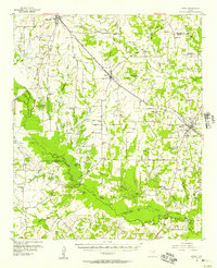
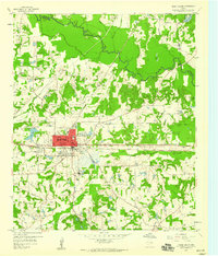
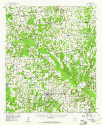
(48)- 1920 Map of Kemp
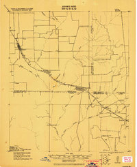 1920 Kemp1920 Print · USGSCovers Van Zandt County, including Gun Barrel City, Mabank, and other nearby areas
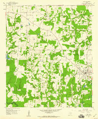
 - 1948 Map of Tyler, 1964 Print
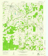
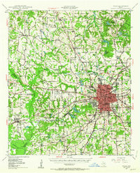 1948 Tyler1964 Print · USGSCovers Van Zandt County, including Tyler, Lindale, and other nearby areas2 unique versions available
 - 1948 Map of Brownsboro, 1966 Print
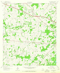
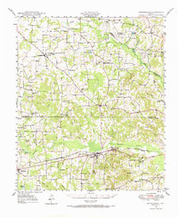 1948 Brownsboro1966 Print · USGSCovers Van Zandt County, including Brownsboro, Murchison, and other nearby areas
 - 1948 Map of Martins Mill, 1974 Print
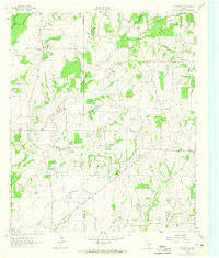
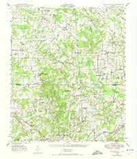 1948 Martins Mill1974 Print · USGSCovers Van Zandt County, including Eustace, Murchison, and other nearby areas
 - 1949 Map of Tyler
 1949 Tyler1949 Print · USGSCovers Van Zandt County, including Tyler, Lindale, and other nearby areas
 - 1949 Map of Martins Mill
 1949 Martins Mill1949 Print · USGSCovers Van Zandt County, including Eustace, Murchison, and other nearby areas
 - 1949 Map of Brownsboro
 1949 Brownsboro1949 Print · USGSCovers Van Zandt County, including Brownsboro, Murchison, and other nearby areas
 - 1954 Map of Dallas, 1963 Print
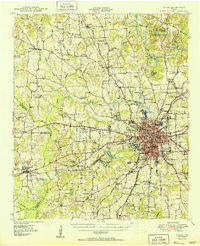
 1954 Dallas1963 Print · USGSCovers Van Zandt County, including Dallas, Fort Worth, and other nearby areas4 unique versions available
 - 1956 Map of Tyler
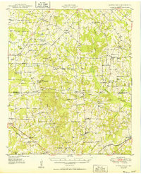
 1956 Tyler1956 Print · USGSCovers Van Zandt County, including Tyler, Longview, and other nearby areas5 unique versions available
 - 1956 Map of Quinlan, 1957 Print
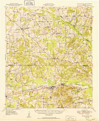
 1956 Quinlan1957 Print · USGSCovers Van Zandt County, including Royse City, Caddo Mills, and other nearby areas3 unique versions available
 - 1956 Map of Emory, 1957 Print
 1956 Emory1957 Print · USGSCovers Van Zandt County, including West Tawakoni, Emory, and other nearby areas3 unique versions available
 - 1957 Map of Kemp
 1957 Kemp1957 Print · USGSCovers Van Zandt County, including Gun Barrel City, Mabank, and other nearby areas
 - 1958 Map of Dallas
 1958 Dallas1958 Print · USGSCovers Van Zandt County, including Dallas, Fort Worth, and other nearby areas
 - 1958 Map of Alba, 1960 Print
 1958 Alba1960 Print · USGSCovers Van Zandt County, including Emory, Alba, and other nearby areas3 unique versions available
 - 1959 Map of Golden, 1960 Print
 1959 Golden1960 Print · USGSCovers Van Zandt County, including Mineola, Golden, and other nearby areas3 unique versions available
 - 1959 Map of Grand Saline, 1960 Print
 1959 Grand Saline1960 Print · USGSCovers Van Zandt County, including Grand Saline, Sand Flat, and other nearby areas3 unique versions available
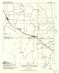
 - 1959 Map of Van, 1960 Print
 1959 Van1960 Print · USGSCovers Van Zandt County, including Van, Colfax, and other nearby areas2 unique versions available
 - 1959 Map of Van Lake, 1960 Print
 1959 Van Lake1960 Print · USGSCovers Van Zandt County, including Van, Jamestown, and other nearby areas4 unique versions available
 - 1959 Map of Grand Saline, 1961 Print
 1959 Grand Saline1961 Print · USGSCovers Van Zandt County, including Mineola, Grand Saline, and other nearby areas2 unique versions available
 - 1959 Map of Alba, 1961 Print
 1959 Alba1961 Print · USGSCovers Van Zandt County, including Emory, Alba, and other nearby areas2 unique versions available
 - 1960 Map of Mabank, 1961 Print
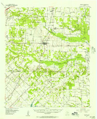
 1960 Mabank1961 Print · USGSCovers Van Zandt County, including Gun Barrel City, Mabank, and other nearby areas5 unique versions available
 - 1962 Map of Myrtle Springs, 1965 Print
 1962 Myrtle Springs1965 Print · USGSCovers Van Zandt County, including Myrtle Springs, Wallace, and other nearby areas3 unique versions available
 - 1962 Map of Prairieville, 1965 Print
 1962 Prairieville1965 Print · USGSCovers Van Zandt County, including Mabank, Prairieville, and other nearby areas2 unique versions available
 - 1962 Map of Cedarvale, 1965 Print
 1962 Cedarvale1965 Print · USGSCovers Van Zandt County, including Cana, Cedarvale, and other nearby areas2 unique versions available
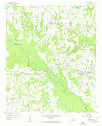
 - 1962 Map of Wills Point, 1965 Print
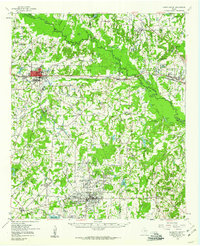
 1962 Wills Point1965 Print · USGSCovers Van Zandt County, including Wills Point, Hiram, and other nearby areas2 unique versions available
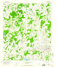
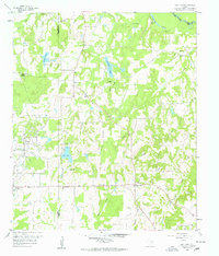
Showing maps 1-25 of 48
Top cities of Van Zandt County
- Wills Point historical maps
- Canton historical maps
- Canton historical maps
- Grand Saline historical maps
- Van historical maps
- Edgewood historical maps
See more
Frequently asked questions
- What are the different types of historical maps available for Van Zandt County?
- What is the oldest map of Van Zandt County?
- Where can I purchase historical maps of Van Zandt County for my home or office?
- Where can I download high-res historical maps of Van Zandt County?
- Are there historical topographic maps available for Van Zandt County?
- Is there historical aerial imagery available for Van Zandt County?
- Where are historical maps of Van Zandt County sourced from?