2000s (21st Century) Maps of Prairie View, Texas
Explore 10 historic maps of Prairie View from the 2000s (21st Century). These maps offer a rare glimpse into what life looked like during the 2000s — showing old roads, neighborhoods, homes, and landmarks that have changed or disappeared over time.
Whether you're researching your family's past, planning a metal detecting trip, or studying how Prairie View's landscape evolved across the 2000s, these high-resolution maps are a powerful tool for exploring the history of this region.
- Focus on a specific era: All maps on this page are from the 2000s, giving you a focused view of this time period.
- See what’s changed: Compare century-old streets, trails, and buildings to today's modern landscape using overlays and satellite layers.
- Research with precision: Use these maps for genealogy, historical research, land use analysis, or educational projects.
- View, download, or print: Maps are fully viewable online in high resolution, and can be downloaded or printed for your own records.
Start exploring Prairie View's history through authentic maps from the 2000s. This is your window into the past.
Prairie View, TX maps
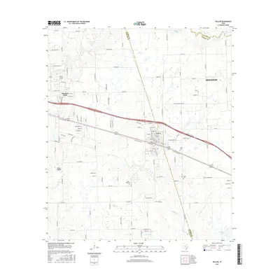
(10)- 2010 Map of Waller, 2010 Print
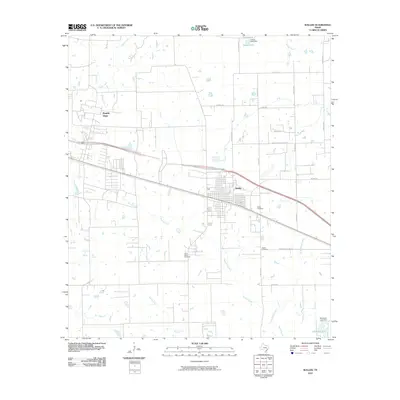 2010 Waller2010 Print · USGSCovers Prairie View, including Houston, Waller, and other nearby areas
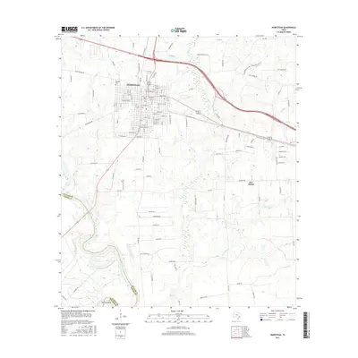
 - 2010 Map of Hempstead, 2010 Print
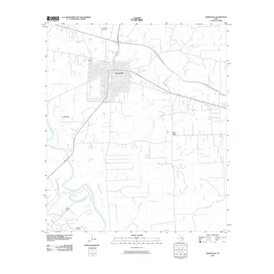 2010 Hempstead2010 Print · USGSCovers Prairie View, including Hempstead, Pine Island, and other nearby areas
 - 2013 Map of Hempstead, 2013 Print
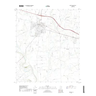
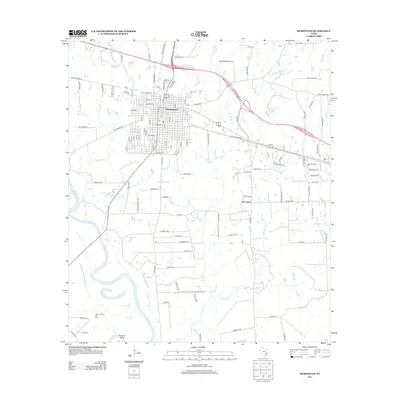 2013 Hempstead2013 Print · USGSCovers Prairie View, including Hempstead, Pine Island, and other nearby areas
 - 2013 Map of Waller, 2013 Print
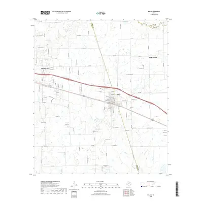
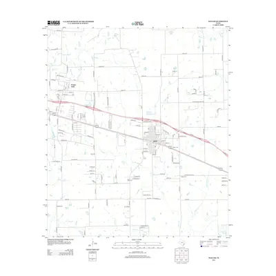 2013 Waller2013 Print · USGSCovers Prairie View, including Houston, Waller, and other nearby areas
 - 2016 Map of Waller, 2016 Print
 2016 Waller2016 Print · USGSCovers Prairie View, including Houston, Waller, and other nearby areas
 - 2016 Map of Hempstead, 2016 Print
 2016 Hempstead2016 Print · USGSCovers Prairie View, including Hempstead, Pine Island, and other nearby areas
 - 2019 Map of Waller, 2019 Print
 2019 Waller2019 Print · USGSCovers Prairie View, including Houston, Waller, and other nearby areas
 - 2019 Map of Hempstead, 2019 Print
 2019 Hempstead2019 Print · USGSCovers Prairie View, including Hempstead, Pine Island, and other nearby areas
 - 2022 Map of Waller, 2022 Print
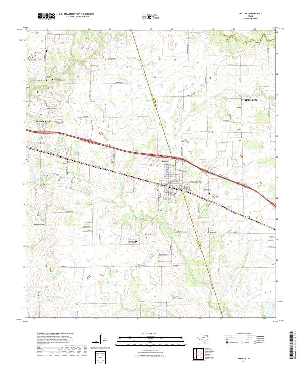 2022 Waller2022 Print · USGSThe Texas prairie west of Houston comes to life in this contemporary study of rural and university land. Genealogists can trace family roots at Saint Johns Lutheran Cem, Waller Cem, and around the historic Prairie View A and M University.
 - 2022 Map of Hempstead, 2022 Print
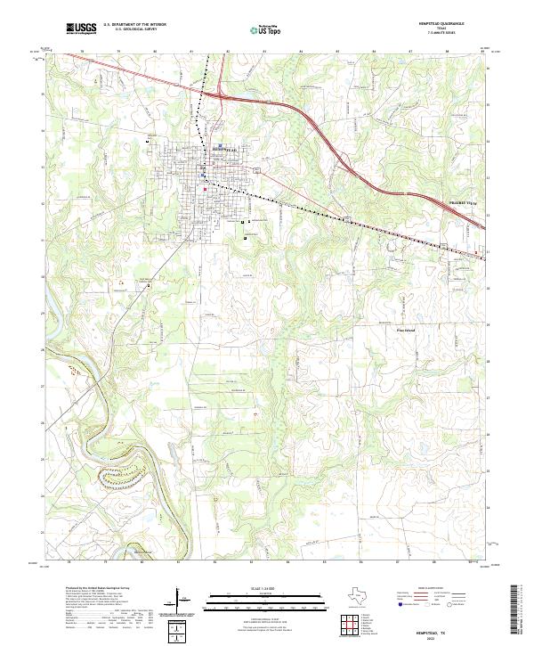 2022 Hempstead2022 Print · USGSWaller County in the twenty-first century reveals a landscape where the civic core of Hempstead meets the banks of the Brazos River. Local historians can trace family roots through numerous sites like Oakwood Cem or locate landmarks such as the Waller County Courthouse.
End of results
Showing maps 1-10 of 10
Top cities near Prairie View
- Houston historical maps
- Hempstead historical maps
- Waller historical maps
- Magnolia historical maps
- Pine Island historical maps
- Todd Mission historical maps
Frequently asked questions
- What are the different types of historical maps available for Prairie View?
- What is the oldest map of Prairie View?
- Where can I purchase historical maps of Prairie View for my home or office?
- Where can I download high-res historical maps of Prairie View?
- Are there historical topographic maps available for Prairie View?
- Is there historical aerial imagery available for Prairie View?
- Where are historical maps of Prairie View sourced from?