Loading...
Loading map...2022 Map of Waller
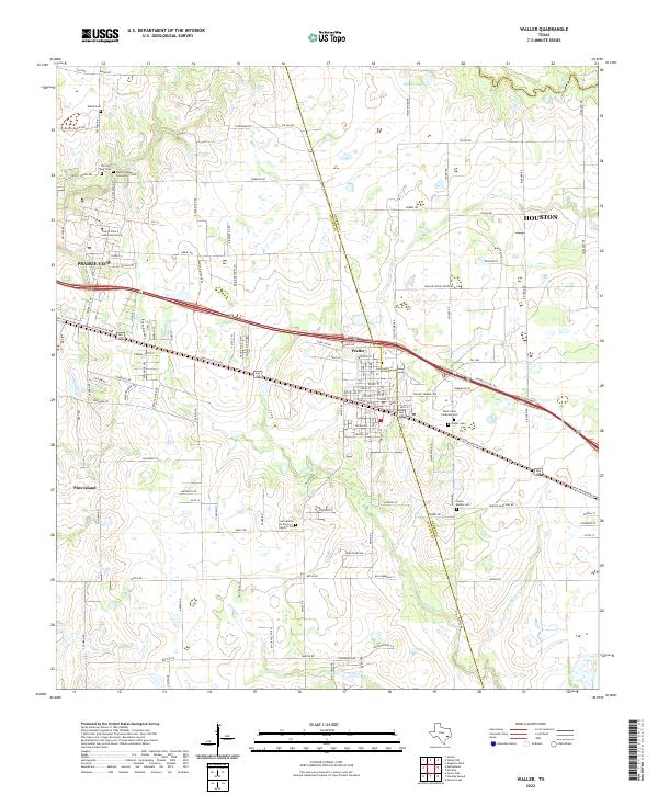
USGS Topo · Published 2022About this map
Prairie View A and M University dominates the northwestern landscape of this contemporary survey, reflecting the long-standing educational heritage of the region. The landscape transitions from the developed streets of Prairie View and Waller to a series of drainage basins including Mound Cr and Snake Cr. The boundary between Harris Co and Waller Co bisects the area, illustrating the intersection of suburban growth and traditional land use.
Find a feature on this map
119 named features on this map. Tap any name to fly to it.
Don’t see what you’re looking for? This feature index may not catch every label — zoom into the map to look around manually.
Map Details
Date Portrayed2022
Date Published2022
PublisherU.S. Geological Survey
Map TypeTopographic
Scale1:24000
Physical Dimensions24 x 29 inches
Editions of this 2022 Waller Map
This is the sole edition of this map. No revisions or reprints were ever made.
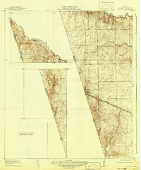
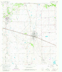
Historical Maps of Prairie View Through Time
Featured Locations
Source Details
SourceU.S. Geological Survey
CopyrightPublic Domain