Old Maps of Goodwill, Texas for Hiking & Exploration
Hike through history with 9 historic maps of Goodwill. Explore old trails, ghost towns, and forgotten backroads — perfect for outdoor adventurers and local explorers.
- Rediscover forgotten places: Map out old mining camps, roads, and footpaths that no longer exist on modern maps.
- Layer with modern tools: Combine with LiDAR or satellite views to plan hikes through historical terrain.
- Made for exploration: Popular among hikers, overlanders, and local history lovers.
Use these maps to find adventure and explore the hidden past of Goodwill.
Goodwill, TX maps
(9)- 1954 Map of Austin, 1964 Print
 1954 Austin1964 Print · USGSCentral Texas is captured during a period of steady growth as the capital city and its neighboring farm towns began to modernize. Researchers can trace historic rail corridors like the Southern Pacific RR or locate landmarks such as Bergstrom Air Force Base and Pilot Knob.4 unique versions available
 - 1956 Map of Hempstead
 1956 Hempstead1956 Print · USGSSoutheast Texas river country comes alive in this survey of the Brazos valley at the dawn of the motorized age. Genealogists and historians can trace the foundations of local society through schools like Pauls School, post offices at Howth P.O., and the path of the Houston and Texas Central Railroad.
 - 1961 Map of Daniels, 1963 Print
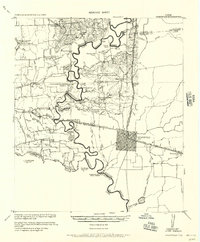
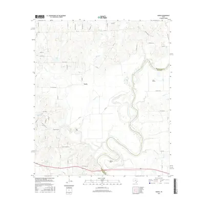
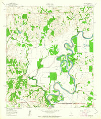 1961 Daniels1963 Print · USGSThe Brazos River meanders through Washington and Waller counties in the early sixties, shaping a landscape of fertile bottomlands and small settlements. Researchers can locate family landmarks like Brown College, Franklin Cem, and the community of Goodwill.2 unique versions available
 - 1993 Map of Brenham
 1993 Brenham1993 Print · USGSTexas river country and the birthplace of the republic are showcased in the early nineties, centered on the confluence of the Brazos and Navasota. Researchers can trace the rail sidings of the Southern Pacific RR and locate historic community landmarks like St Paul Ch and Washington-on-the-Brazos State Park.
 - 2010 Map of Daniels, 2010 Print
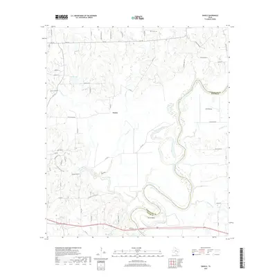
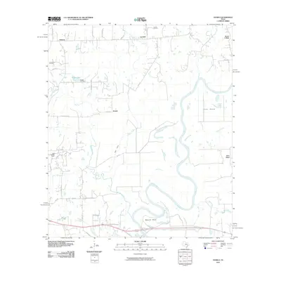 2010 Daniels2010 Print · USGSCovers Goodwill, including Rock Island, Brown College, and other nearby areas
 - 2013 Map of Daniels, 2013 Print
 2013 Daniels2013 Print · USGSCovers Goodwill, including Rock Island, Brown College, and other nearby areas
 - 2016 Map of Daniels, 2016 Print
 2016 Daniels2016 Print · USGSCovers Goodwill, including Rock Island, Brown College, and other nearby areas
 - 2019 Map of Daniels, 2019 Print
 2019 Daniels2019 Print · USGSCovers Goodwill, including Rock Island, Brown College, and other nearby areas
 - 2022 Map of Daniels, 2022 Print
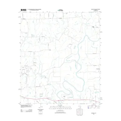
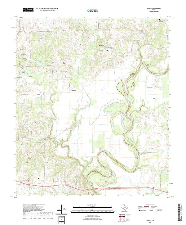 2022 Daniels2022 Print · USGSThe Brazos River meanders through the heart of this region in the early twenty-first century, separating Washington and Waller counties. Researchers can trace deep family roots at the Paul Felder African Methodist Episcopal Church Cem, Bouldin - Routt Cem, and Mexican Bend.
End of results
Showing maps 1-9 of 9
Top cities near Goodwill
- Brenham historical maps
- Navasota historical maps
- Prairie View historical maps
- Hempstead historical maps
- Pine Island historical maps
Frequently asked questions
- What are the different types of historical maps available for Goodwill?
- What is the oldest map of Goodwill?
- Where can I purchase historical maps of Goodwill for my home or office?
- Where can I download high-res historical maps of Goodwill?
- Are there historical topographic maps available for Goodwill?
- Is there historical aerial imagery available for Goodwill?
- Where are historical maps of Goodwill sourced from?