2020s Maps of Wheeler County, Texas
Explore 20 historic maps of Wheeler County from the 2020s. These maps offer a rare glimpse into what life looked like during the 2020s — showing old roads, neighborhoods, homes, and landmarks that have changed or disappeared over time.
Whether you're researching your family's past, planning a metal detecting trip, or studying how Wheeler County's landscape evolved across the 2020s, these high-resolution maps are a powerful tool for exploring the history of this region.
- Focus on a specific era: All maps on this page are from the 2020s, giving you a focused view of this time period.
- See what’s changed: Compare century-old streets, trails, and buildings to today's modern landscape using overlays and satellite layers.
- Research with precision: Use these maps for genealogy, historical research, land use analysis, or educational projects.
- View, download, or print: Maps are fully viewable online in high resolution, and can be downloaded or printed for your own records.
Start exploring Wheeler County's history through authentic maps from the 2020s. This is your window into the past.
Wheeler County, TX maps
(20)- 2022 Map of Ramsdell, 2022 Print
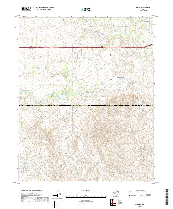 2022 Ramsdell2022 Print · USGSThe Texas Panhandle borderlands at the turn of the twenty-first century reveal a landscape of ranching roads and seasonal creek beds. Trace the rural routes of Wheeler County along S Long Dry Cr, McDowell Ranch Rd, and the Wheeler-Collingsworth county line.
 - 2022 Map of McLean, 2022 Print
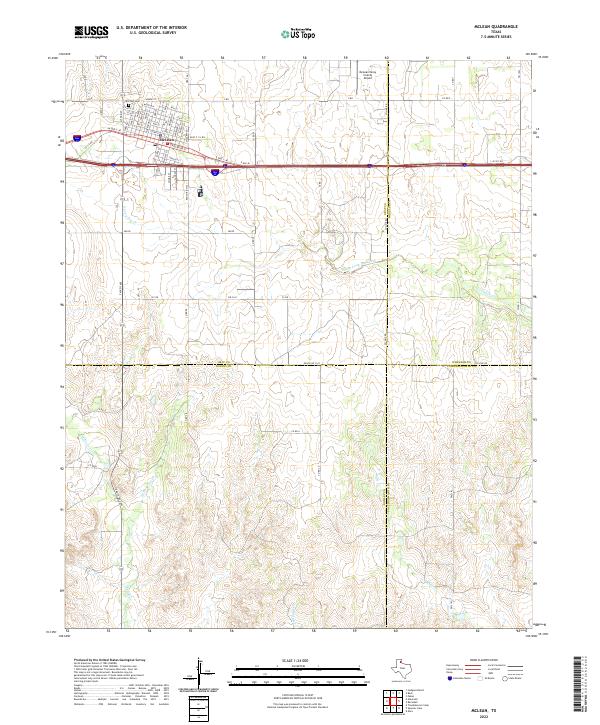 2022 McLean2022 Print · USGSMcLean and the southeastern corner of the Texas Panhandle are captured here during the early 2020s. Researchers can trace local landmarks like Hillcrest Cem and follow the paths of Skillet Cr or Wills Cr through the surrounding ranchland.
 - 2022 Map of Back, 2022 Print
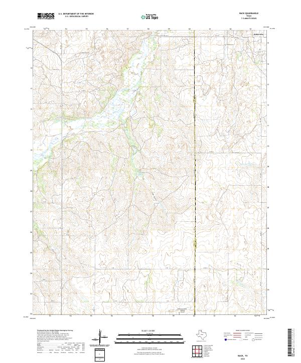 2022 Back2022 Print · USGSThe high plains of the Texas Panhandle meet a complex network of draws and creeks in this modern survey of the Gray and Wheeler county line. Researchers can locate the community of Kellerville and trace the paths of McClellan Creek and Hackberry Spring.
 - 2022 Map of Shamrock East, 2022 Print
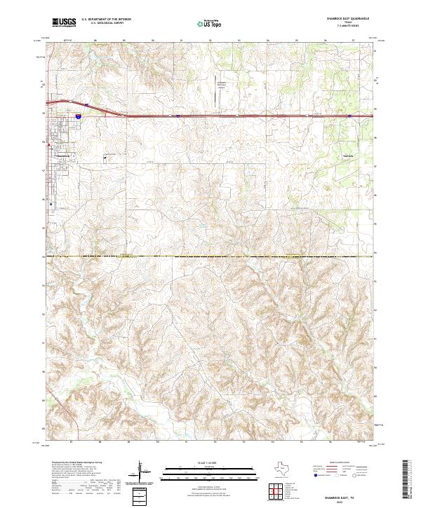 2022 Shamrock East2022 Print · USGSThe eastern outskirts of Shamrock and the surrounding plains of Wheeler County are captured here in the early twenty-first century. Genealogists and local researchers can trace family plots at Shamrock Cemetery or follow the drainages of Raven Creek and Crow Creek.
 - 2022 Map of Wheeler, 2022 Print
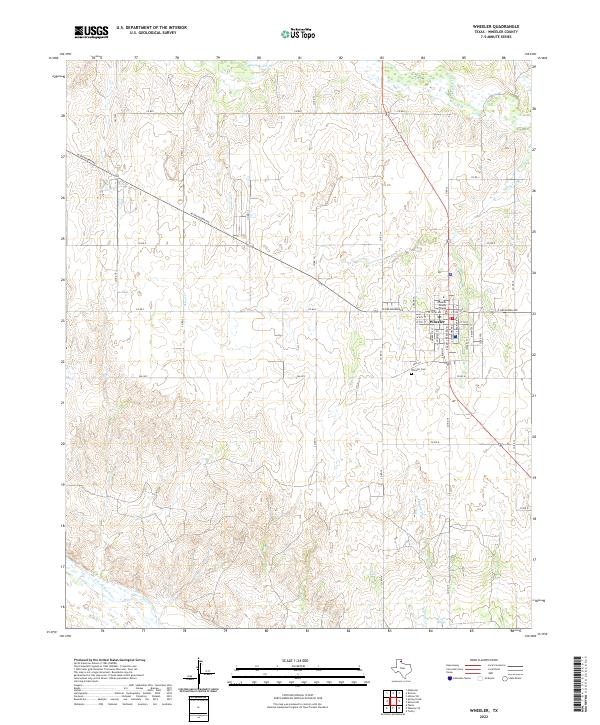 2022 Wheeler2022 Print · USGSThe Texas Panhandle town of Wheeler is captured here in the early twenty-first century, showing the intersection of local government and prairie life. Genealogists and researchers can trace family landmarks like the Wheeler Cem and the Wheeler County Courthouse along the banks of Sweetwater Cr.
 - 2022 Map of Allison SW, 2022 Print
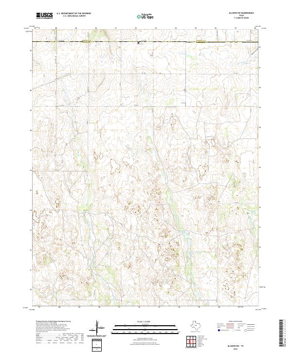 2022 Allison SW2022 Print · USGSWheeler and Hemphill counties in the early 2020s are defined by deep creek drainages and a sparse network of ranch roads. Local historians can locate the Zybach Cem near the county line or trace the waters of Domer Reed Lake and Rathjen Springs.
 - 2022 Map of Fuller, 2022 Print
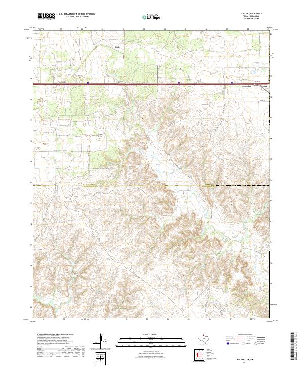 2022 Fuller2022 Print · USGSThe Texas-Oklahoma borderlands in the early 2020s are captured here, focusing on the remote settlements and drainage basins of the Panhandle. Researchers can trace the state line through Texola and locate rural holdings near Fuller, Benonine, and N Elm Cr.
 - 2022 Map of Pakan, 2022 Print
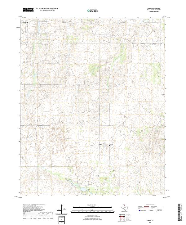 2022 Pakan2022 Print · USGSWheeler County ranching and settlement patterns are preserved here as they appeared in the early 2020s. Genealogists and local historians can locate Pakan Cem near Pakan or trace the drainages of Little Hackberry Cr and N Long Dry Cr.
 - 2022 Map of Totty School, 2022 Print
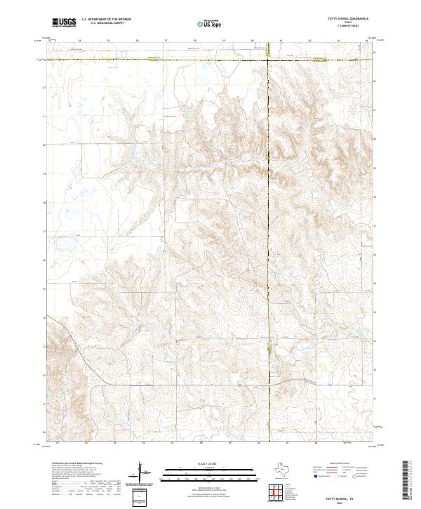 2022 Totty School2022 Print · USGSThe eastern Panhandle at the junction of four counties reveals a landscape of high plains and deep creek draws. Researchers can trace the path of Sweetwater Cr and identify local section routes like W Oklahoma Ave and Ranch Rd 1268.
 - 2022 Map of Allison, 2022 Print
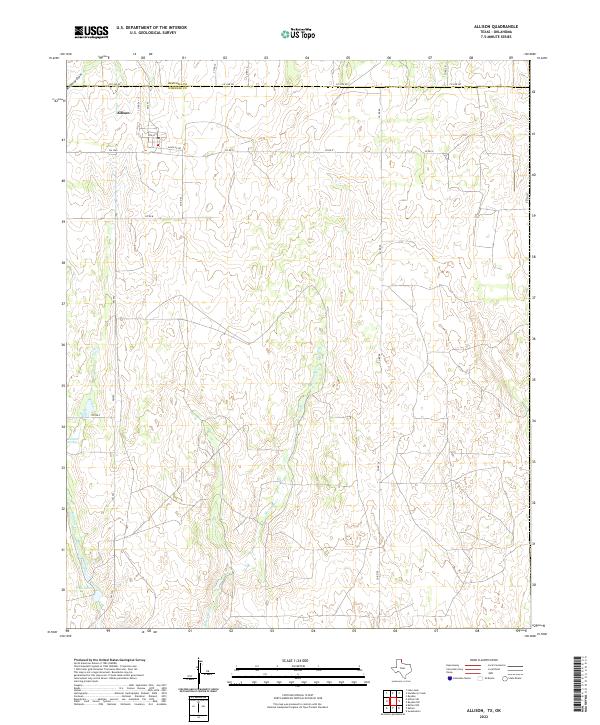 2022 Allison2022 Print · USGSThe Texas Panhandle borderlands at the edge of Wheeler County come into focus in this recent survey. Local historians can trace the small grid of Allison or follow the paths of Murtaugh Cr and Rathjen Springs across the landscape.
 - 2022 Map of Wheeler SE, 2022 Print
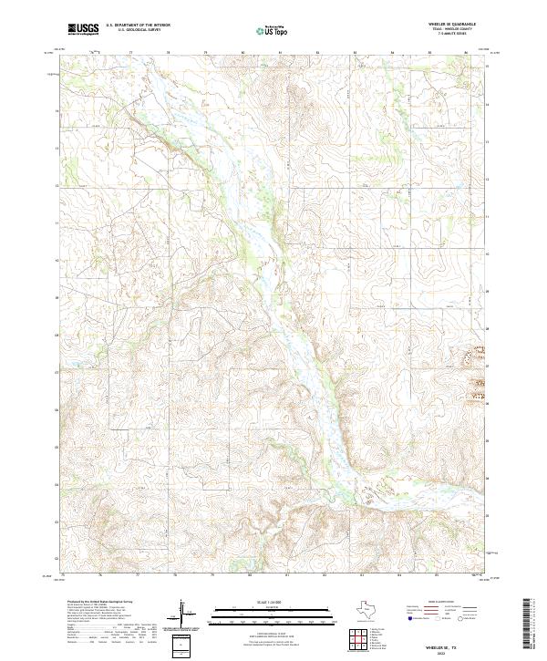 2022 Wheeler SE2022 Print · USGSWheeler County ranching country is documented here in the early 2020s, centered on the wide, sandy braided channel of the N Fork Red River. Genealogists and local historians can trace modern land access and water features like Wardlow Lake and Cole Creek.
 - 2022 Map of Pond Creek, 2022 Print
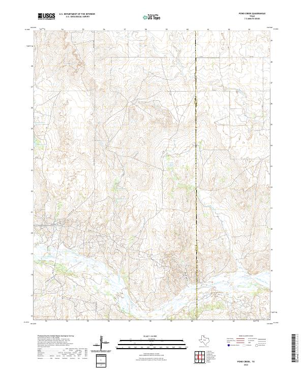 2022 Pond Creek2022 Print · USGSThe Texas Panhandle cattle country comes into focus in this recent survey of the Gray and Wheeler county line. Researchers can trace the winding N Fork Red River and identify local landmarks like White Horse Spring, Devils Gulch, and Tadpole Lake.
 - 2022 Map of Spring Creek, 2022 Print
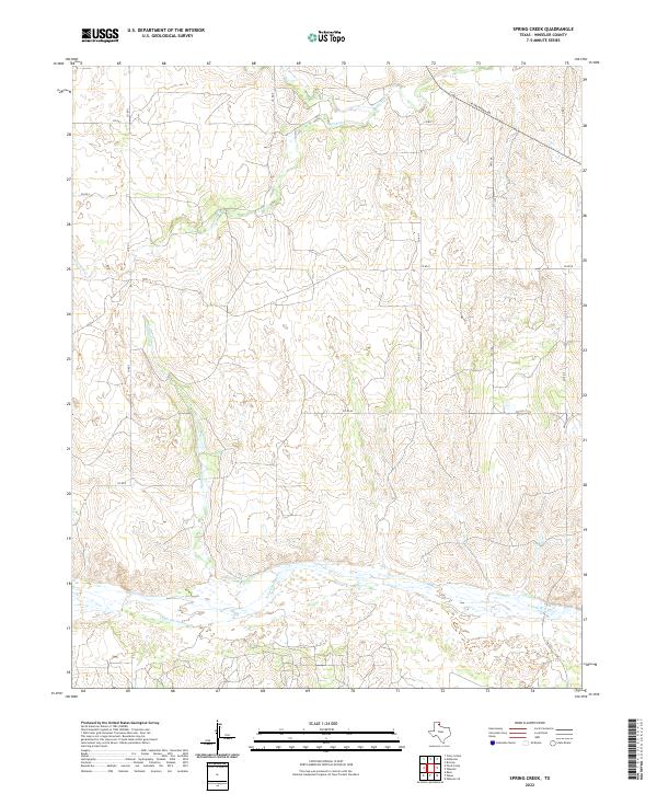 2022 Spring Creek2022 Print · USGSWheeler County ranchlands are documented here in the early twenty-first century as they surround the wide, sandy bed of the N Fork Red River. Genealogists and land researchers can trace property boundaries along Spring Creek and the intersection of FM 3104 with W Oklahoma Ave.
 - 2022 Map of Twitty, 2022 Print
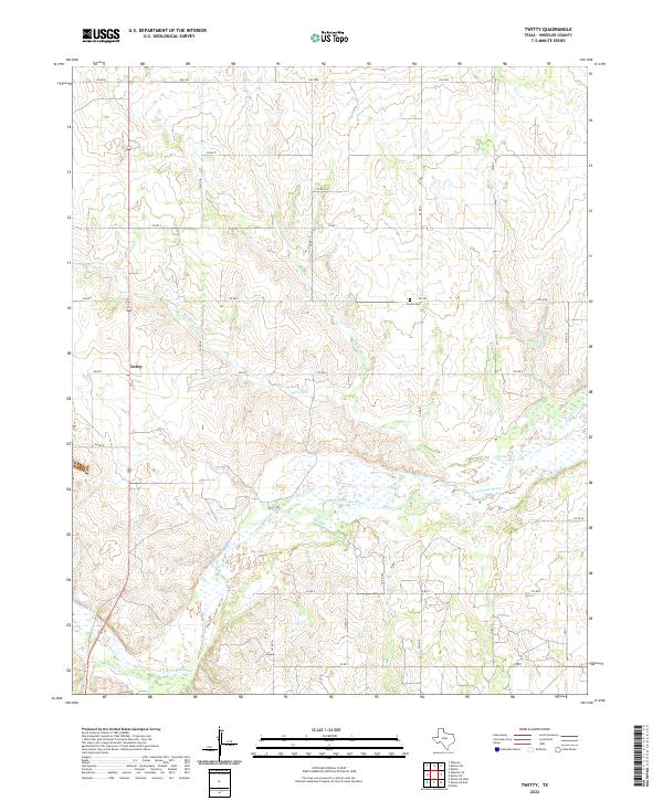 2022 Twitty2022 Print · USGSThe braided riverbed of the North Fork Red River dominates this Wheeler County landscape as it appeared in the early twenty-first century. Genealogists and local historians can locate the Center Cem or trace rural properties near Twitty and the banks of Bronco Cr.
 - 2022 Map of Shamrock West, 2022 Print
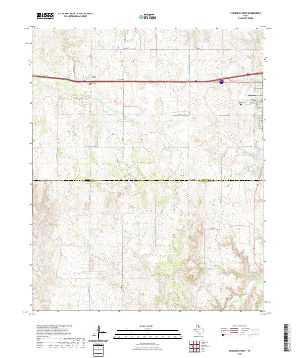 2022 Shamrock West2022 Print · USGSThe Texas Panhandle comes into focus during the early twenty-first century as the plains meet the settled streets of Shamrock. Genealogists and local historians can trace rural property access and burial sites like Lela Cem, Bowers Cem, and the path of Long Dry Cr.
 - 2022 Map of Mobeetie, 2022 Print
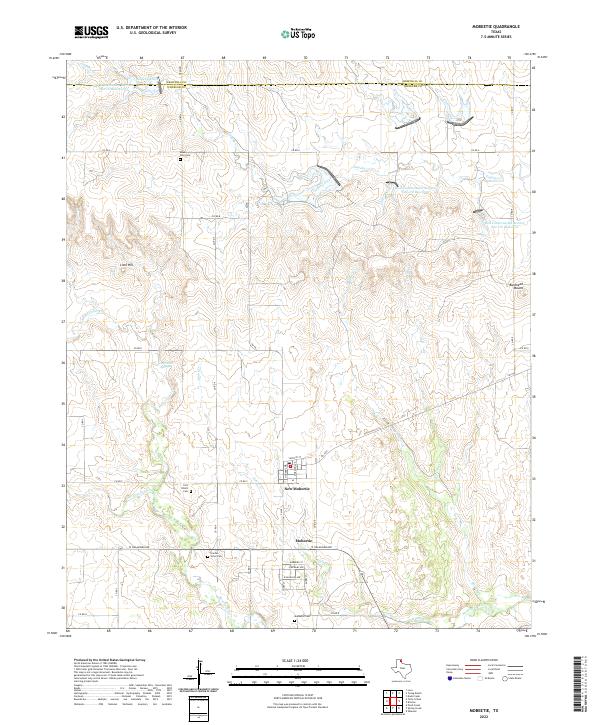 2022 Mobeetie2022 Print · USGSThe Texas Panhandle around Wheeler County is shown here in the 2020s, centered on the historic settlement of Mobeetie. Genealogists and historians can locate family burial sites at Mount Zion Cemetery and trace the springs and creeks near New Mobeetie.
 - 2022 Map of Kelton SE, 2022 Print
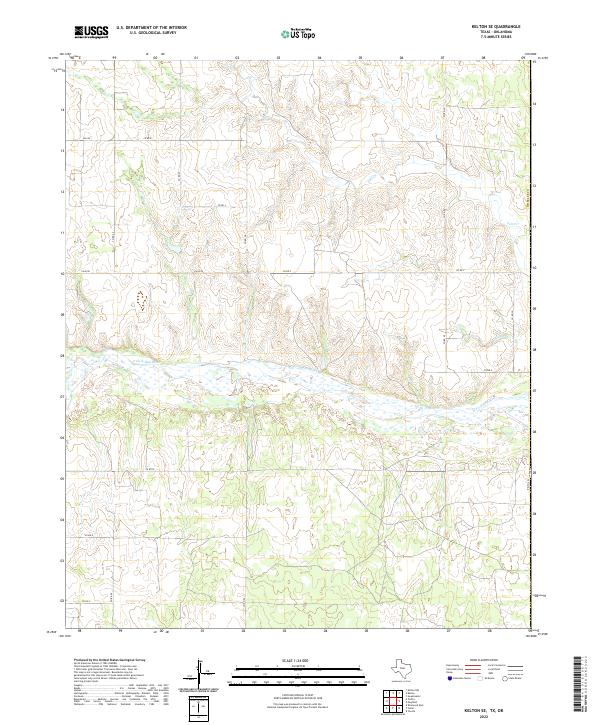 2022 Kelton SE2022 Print · USGSThe eastern Texas Panhandle is captured here in the early 2020s, showing the intersection of rural life and the river environment. Genealogists and historians can trace property boundaries and land use along the N Fork Red River and near Salt Cr.
 - 2022 Map of Kelton NW, 2022 Print
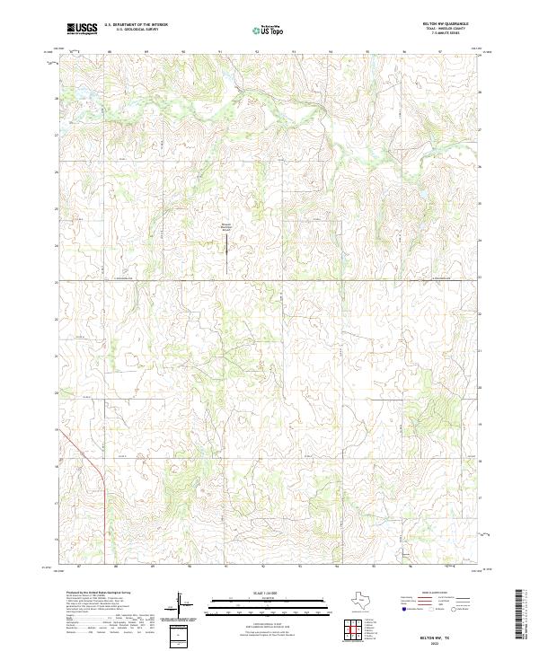 2022 Kelton NW2022 Print · USGSWheeler County in the early 2020s shows a landscape of high plains ranching and aviation infrastructure near the Oklahoma border. Genealogists and local historians can trace family land along the banks of Sweetwater Cr and identify the location of the Wheeler Municipal Airport.
 - 2022 Map of Kelton, 2022 Print
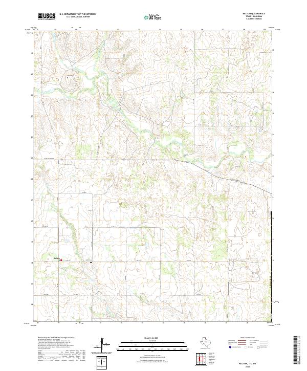 2022 Kelton2022 Print · USGSThe ranching country of Wheeler County comes into focus in this modern survey of the Texas Panhandle. Researchers can trace family history at Rock Cem and Kelton Cem or follow the path of Sweetwater Cr through the heart of Kelton.
 - 2022 Map of Briscoe, 2022 Print
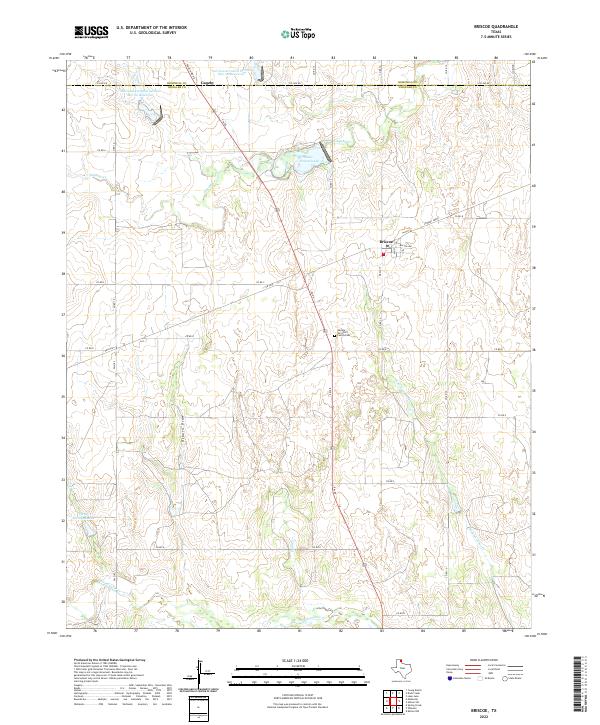 2022 Briscoe2022 Print · USGSThe Texas Panhandle cattle country around Wheeler and Hemphill counties is shown here during a period of modern water conservation and ranching. Researchers can trace land use patterns near Briscoe, locate the George Turcotte Family Cem, and follow the winding path of Gageby Cr.
End of results
Showing maps 1-20 of 20
Top cities of Wheeler County
Frequently asked questions
- What are the different types of historical maps available for Wheeler County?
- What is the oldest map of Wheeler County?
- Where can I purchase historical maps of Wheeler County for my home or office?
- Where can I download high-res historical maps of Wheeler County?
- Are there historical topographic maps available for Wheeler County?
- Is there historical aerial imagery available for Wheeler County?
- Where are historical maps of Wheeler County sourced from?