2000s (21st Century) Maps of Wheeler County, Texas
Explore 100 historic maps of Wheeler County from the 2000s (21st Century). These maps offer a rare glimpse into what life looked like during the 2000s — showing old roads, neighborhoods, homes, and landmarks that have changed or disappeared over time.
Whether you're researching your family's past, planning a metal detecting trip, or studying how Wheeler County's landscape evolved across the 2000s, these high-resolution maps are a powerful tool for exploring the history of this region.
- Focus on a specific era: All maps on this page are from the 2000s, giving you a focused view of this time period.
- See what’s changed: Compare century-old streets, trails, and buildings to today's modern landscape using overlays and satellite layers.
- Research with precision: Use these maps for genealogy, historical research, land use analysis, or educational projects.
- View, download, or print: Maps are fully viewable online in high resolution, and can be downloaded or printed for your own records.
Start exploring Wheeler County's history through authentic maps from the 2000s. This is your window into the past.
Wheeler County, TX maps
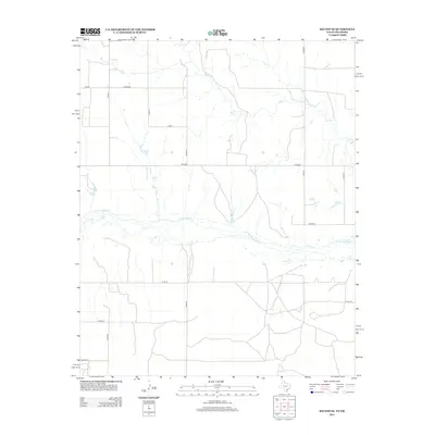
(100)- 2010 Map of Back, 2010 Print
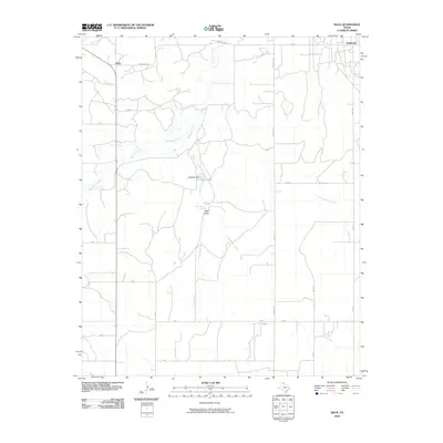 2010 Back2010 Print · USGSCovers Wheeler County, including Back, Kellerville, and other nearby areas
 - 2010 Map of Pond Creek, 2010 Print
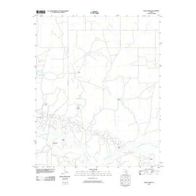 2010 Pond Creek2010 Print · USGSCovers Wheeler County, including Denworth, Bellco, and other nearby areas
 - 2010 Map of Allison SW, 2010 Print
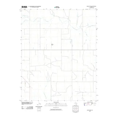
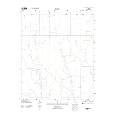
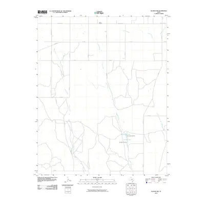 2010 Allison SW2010 Print · USGSCovers Wheeler County, including Hemphill County, United States, and other nearby areas
 - 2010 Map of Briscoe, 2010 Print
 2010 Briscoe2010 Print · USGSCovers Wheeler County, including Gageby, Briscoe, and other nearby areas
 - 2010 Map of Kelton NW, 2010 Print
 2010 Kelton NW2010 Print · USGSCovers Wheeler County, including United States, Texas, and other nearby areas
 - 2010 Map of Shamrock East, 2010 Print
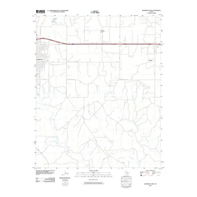 2010 Shamrock East2010 Print · USGSCovers Wheeler County, including Shamrock, Norrick, and other nearby areas
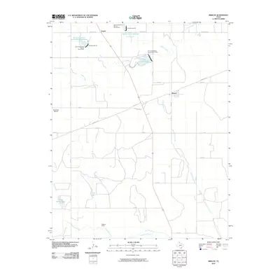
 - 2010 Map of Wheeler, 2010 Print
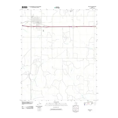
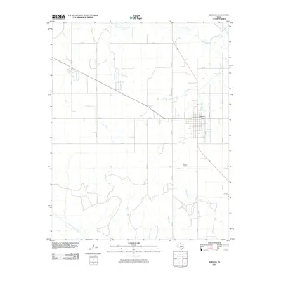 2010 Wheeler2010 Print · USGSCovers Wheeler County, including Wheeler, United States, and other nearby areas
 - 2010 Map of Pakan, 2010 Print
 2010 Pakan2010 Print · USGSCovers Wheeler County, including Pakan, Magic City, and other nearby areas
 - 2010 Map of McLean, 2010 Print
 2010 McLean2010 Print · USGSCovers Wheeler County, including McLean, Gray County, and other nearby areas
 - 2010 Map of Shamrock West, 2010 Print
 2010 Shamrock West2010 Print · USGSCovers Wheeler County, including Shamrock, Lela, and other nearby areas
 - 2010 Map of Mobeetie, 2010 Print
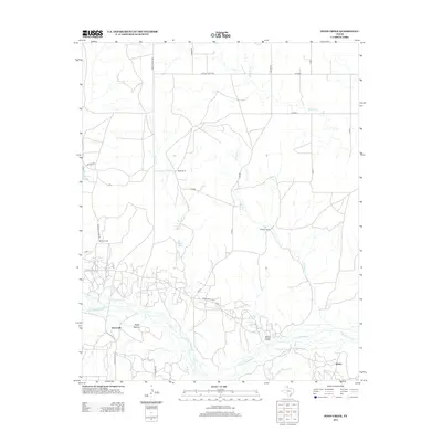
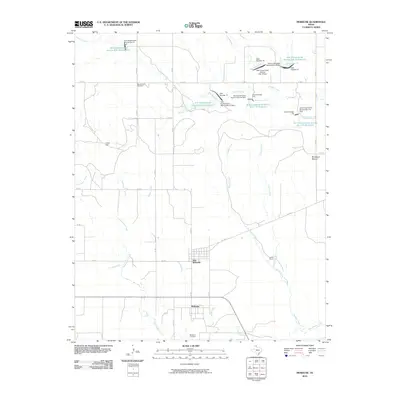 2010 Mobeetie2010 Print · USGSCovers Wheeler County, including Mobeetie, Mobeetie, and other nearby areas
 - 2010 Map of Totty School, 2010 Print
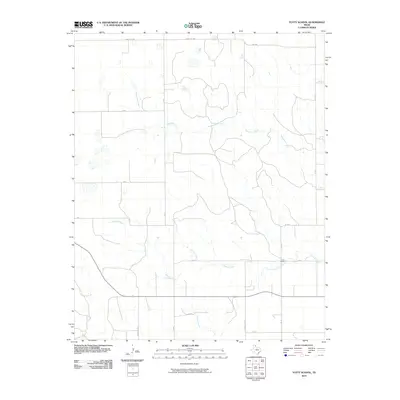 2010 Totty School2010 Print · USGSCovers Wheeler County, including Gray County, Roberts County, and other nearby areas
 - 2010 Map of Twitty, 2010 Print
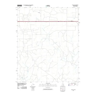
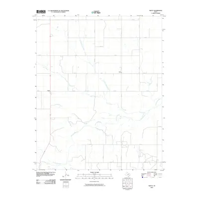 2010 Twitty2010 Print · USGSCovers Wheeler County, including Twitty, United States, and other nearby areas
 - 2010 Map of Wheeler SE, 2010 Print
 2010 Wheeler SE2010 Print · USGSCovers Wheeler County, including United States, Texas, and other nearby areas
 - 2010 Map of Spring Creek, 2010 Print
 2010 Spring Creek2010 Print · USGSCovers Wheeler County, including United States, Texas, and other nearby areas
 - 2010 Map of Allison, 2010 Print
 2010 Allison2010 Print · USGSCovers Wheeler County, including Allison, Roger Mills County, and other nearby areas
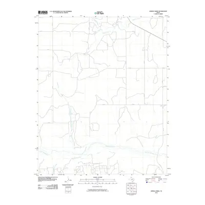
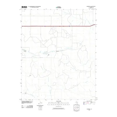
 - 2010 Map of Ramsdell, 2010 Print
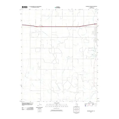
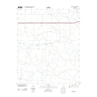
 2010 Ramsdell2010 Print · USGSCovers Wheeler County, including Ramsdell, Collingsworth County, and other nearby areas
 - 2010 Map of Kelton SE, 2010 Print
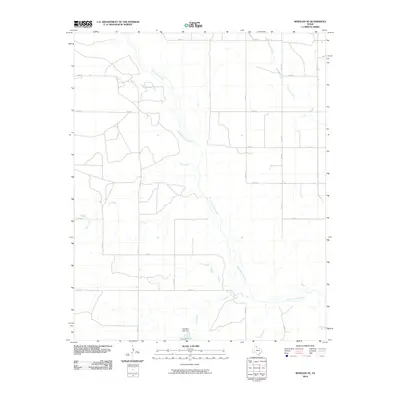
 2010 Kelton SE2010 Print · USGSCovers Wheeler County, including Beckham County, United States, and other nearby areas
 - 2010 Map of Fuller, 2010 Print
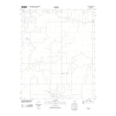
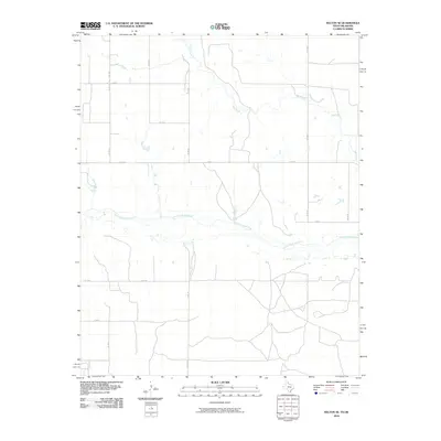
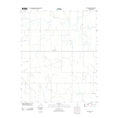
 2010 Fuller2010 Print · USGSCovers Wheeler County, including Texola, Benonine, and other nearby areas
 - 2010 Map of Kelton, 2010 Print
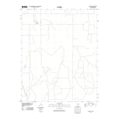
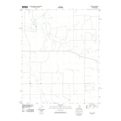 2010 Kelton2010 Print · USGSCovers Wheeler County, including Kelton, Beckham County, and other nearby areas
 - 2012 Map of Kelton SE, 2012 Print
 2012 Kelton SE2012 Print · USGSCovers Wheeler County, including Beckham County, United States, and other nearby areas
 - 2012 Map of Pond Creek, 2012 Print
 2012 Pond Creek2012 Print · USGSCovers Wheeler County, including Denworth, Bellco, and other nearby areas
 - 2012 Map of Kelton NW, 2012 Print
 2012 Kelton NW2012 Print · USGSCovers Wheeler County, including United States, Texas, and other nearby areas
 - 2012 Map of Ramsdell, 2012 Print
 2012 Ramsdell2012 Print · USGSCovers Wheeler County, including Ramsdell, Collingsworth County, and other nearby areas
 - 2012 Map of Allison SW, 2012 Print
 2012 Allison SW2012 Print · USGSCovers Wheeler County, including Hemphill County, United States, and other nearby areas
Showing maps 1-25 of 100
Top cities of Wheeler County
Frequently asked questions
- What are the different types of historical maps available for Wheeler County?
- What is the oldest map of Wheeler County?
- Where can I purchase historical maps of Wheeler County for my home or office?
- Where can I download high-res historical maps of Wheeler County?
- Are there historical topographic maps available for Wheeler County?
- Is there historical aerial imagery available for Wheeler County?
- Where are historical maps of Wheeler County sourced from?