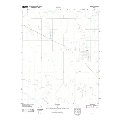
2010 Map of Wheeler
USGS Topo · Published 2010About this map
Wheeler serves as the focal point of this Texas Panhandle study, appearing as a structured grid of streets including S Osage St and Airport Rd. The town site is situated amidst a network of drainage systems that define the local topography, most notably the North Fork Red River which cuts through the southwestern corner of the quadrangle. Other watercourses like Sweetwater Creek and Silver Creek carve through the surrounding plains, illustrating the natural irrigation patterns of this ranching and agricultural region.
Find a feature on this map
26 named features on this map. Tap any name to fly to it.
Don’t see what you’re looking for? This feature index may not catch every label — zoom into the map to look around manually.
Map Details
Editions of this 2010 Wheeler Map
This is the sole edition of this map. No revisions or reprints were ever made.
Other maps of this area

1954 · Amarillo
USGS Topo · 1:250,000

1958 · Amarillo
USGS Topo · 1:250,000

1962 · Twitty
USGS Topo · 1:24,000

1962 · Wheeler
USGS Topo · 1:24,000

1962 · Spring Creek
USGS Topo · 1:24,000

1962 · Wheeler SE
USGS Topo · 1:24,000

1962 · Pakan
USGS Topo · 1:24,000

1963 · Kelton NW
USGS Topo · 1:24,000

1963 · Briscoe
USGS Topo · 1:24,000

1963 · Allison SW
USGS Topo · 1:24,000