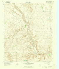
1962 Map of Wheeler SE
USGS Topo · Published 1965About this map
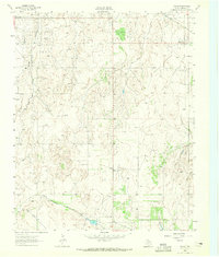
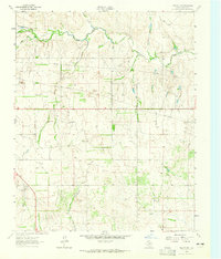
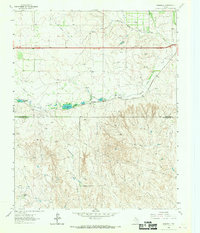
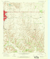
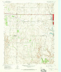
The North Fork Red River carves a wide, sandy path through this section of Wheeler County, defining the local topography as it flows toward the southeast. In the early 1960s, the region’s economy was centered on energy production and heavy infrastructure, evidenced by the numerous Oil Wells and Gas Wells dotting the landscape. The Fort Worth and Denver railroad runs parallel to the river valley, providing a critical transport link for the Texas Panhandle. Extensive water management is visible through an Aqueduct and a Pumping Station near Bronco Creek, highlighting the efforts to harness the arid environment. This survey captures a moment when industrial developments like these were deeply integrated into the rural plains, marking the transition from ranching to a more diversified energy and resource-based economy.
Find a feature on this map
11 named features on this map. Tap any name to fly to it.
Don’t see what you’re looking for? This feature index may not catch every label — zoom into the map to look around manually.
Map Details
Editions of this 1962 Wheeler SE Map
2 editions found
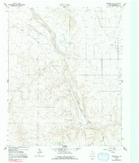
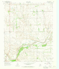
Other maps of this area

1954 · Amarillo
USGS Topo · 1:250,000

1958 · Amarillo
USGS Topo · 1:250,000
1962 · Twitty
USGS Topo · 1:24,000
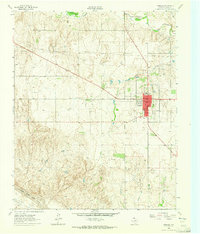
1962 · Wheeler
USGS Topo · 1:24,000

1962 · Spring Creek
USGS Topo · 1:24,000
1962 · Pakan
USGS Topo · 1:24,000
1963 · Kelton NW
USGS Topo · 1:24,000
1963 · Ramsdell
USGS Topo · 1:24,000
1963 · Shamrock East
USGS Topo · 1:24,000
1963 · Shamrock West
USGS Topo · 1:24,000