Old Maps of Harrold, Texas for Academic Research
Study the evolution of Harrold with 10 high-resolution historic maps. Whether you're teaching, researching, or modeling changes in land use, these maps provide essential visual documentation of urban, environmental, and geographic change.
- Analyze long-term change: Track patterns in development, transportation, and natural features.
- Ideal for environmental or urban studies: Support academic projects with primary historical map data.
- Use in the classroom or lab: Educators and researchers rely on these maps to bring historical context to life.
These maps are a powerful tool for teaching, research, and visualizing how Harrold has changed over the decades.
Harrold, TX maps
(10)- 1955 Map of Lawton, 1958 Print
 1955 Lawton1958 Print · USGSSouthwestern Oklahoma and North Texas are shown here in the mid-fifties, dominated by the Wichita Mountains and the vital Red River watershed. Genealogists and historians can trace the foundations of Lawton alongside rural landmarks like Rainy Mountain Church and Pleasant Hill School.5 unique versions available
 - 1958 Map of Davidson, 1959 Print
 1958 Davidson1959 Print · USGSThe Red River border between Oklahoma and Texas comes alive in this mid-century survey of the river's confluence with the Pease River. Researchers can trace the path of the Fort Worth and Denver (Burlington) rail line through Oklaunion and Harrold or locate rural landmarks like Sharp Gin and Immanuel Ch.2 unique versions available
 - 1983 Map of Harrold, 1984 Print
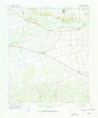
 1983 Harrold1984 Print · USGSHarrold and the surrounding Wilbarger County plains are captured here in the early eighties as a landscape defined by the oil industry. Researchers can trace the sprawling Oil Field sites, the local Cem, and the drainage patterns of Rock Creek and Lake Electra.2 unique versions available
 - 1986 Map of Vernon
 1986 Vernon1986 Print · USGSNorth Texas and Southern Oklahoma meet along the river in the mid-1980s, revealing a landscape defined by ranching, oil production, and rail transport. Researchers can locate distinct landmarks such as Medicine Mound, the Conley Oil Field, and the community of Punkin Center.
 - 1990 Map of Harrold, 1995 Print
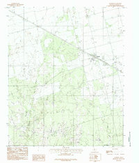
 1990 Harrold1995 Print · USGSHarrold and the surrounding North Texas plains appear in detail during the late twentieth century, showing the intersection of industry and rural life. Researchers can trace local landmarks like Lake Electra, the community Cem, and productive Oil fields.
 - 2010 Map of Harrold, 2010 Print
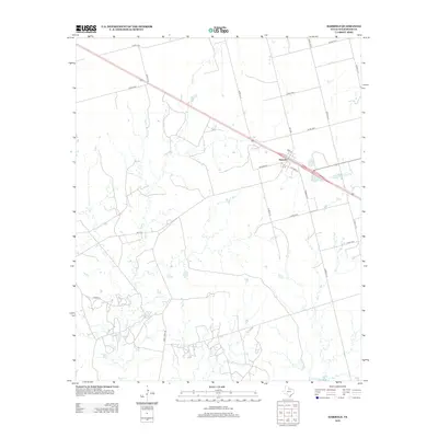
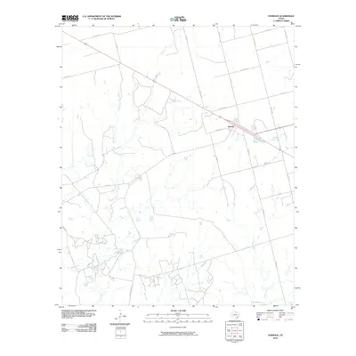 2010 Harrold2010 Print · USGSCovers Harrold, including Wilbarger County, United States, and other nearby areas
 - 2012 Map of Harrold, 2012 Print
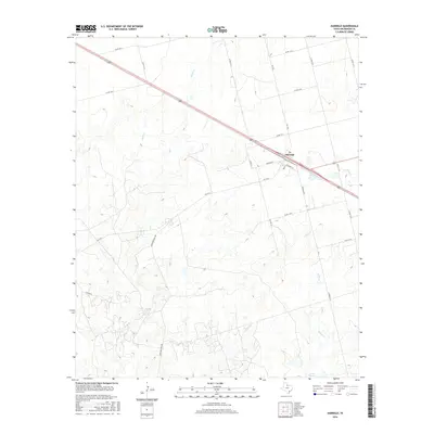
 2012 Harrold2012 Print · USGSCovers Harrold, including Wilbarger County, United States, and other nearby areas
 - 2016 Map of Harrold, 2016 Print
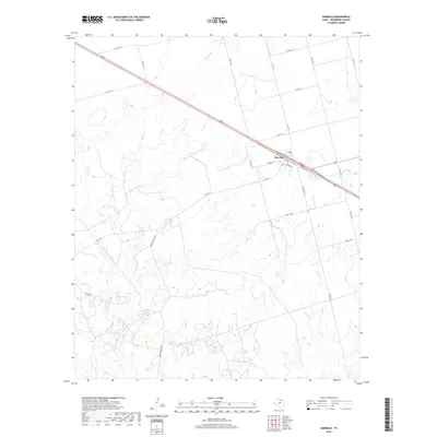
 2016 Harrold2016 Print · USGSCovers Harrold, including Wilbarger County, United States, and other nearby areas
 - 2019 Map of Harrold, 2019 Print
 2019 Harrold2019 Print · USGSCovers Harrold, including Wilbarger County, United States, and other nearby areas
 - 2022 Map of Harrold, 2022 Print
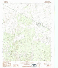
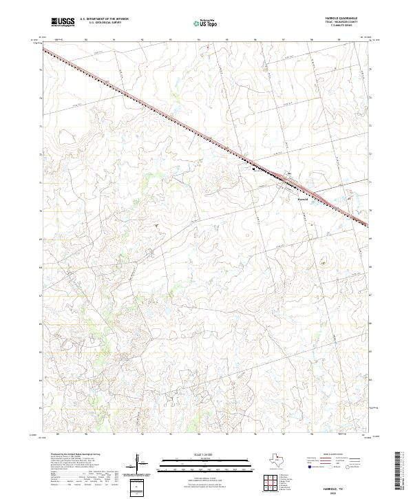 2022 Harrold2022 Print · USGSWilbarger County ranching country is mapped here in the early 2020s, centered on the historic crossroads at Harrold. Genealogists and local historians can locate the Harrold Cem, the PO, and trace the winding paths of Adams Cr and Rock Cr.
End of results
Showing maps 1-10 of 10
Top cities near Harrold
Frequently asked questions
- What are the different types of historical maps available for Harrold?
- What is the oldest map of Harrold?
- Where can I purchase historical maps of Harrold for my home or office?
- Where can I download high-res historical maps of Harrold?
- Are there historical topographic maps available for Harrold?
- Is there historical aerial imagery available for Harrold?
- Where are historical maps of Harrold sourced from?