Old Maps of Peyton, Texas for Metal Detecting
Plan your next treasure hunt with 9 historic maps of Peyton. Find old homesites, ghost towns, trails, and gathering spots that may be lost to time — perfect for identifying promising metal detecting locations.
- Locate forgotten sites: Uncover places like long-lost settlements, abandoned rail lines, or gathering spots.
- Plan better hunts: Use map overlays combined with LiDAR or satellite views to narrow in on historically rich areas.
- Made for detectorists: Thousands of hobbyists use these maps to discover relics, coins, and hidden history.
Use these historic maps to boost your research and find new opportunities beneath the surface of Peyton.
Peyton, TX maps
(9)- 1893 Map of Georgetown
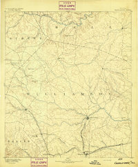 1893 Georgetown1893 Print · USGSCentral Texas in the late 1800s was a landscape in flux as rail lines reshaped old frontier settlements. Genealogists can trace the shift from riverside villages like Bagdad and Old Round Rock to new rail hubs such as Leander and Hutto.5 unique versions available
- 1954 Map of Austin, 1964 Print
 1954 Austin1964 Print · USGSCentral Texas is captured during a period of steady growth as the capital city and its neighboring farm towns began to modernize. Researchers can trace historic rail corridors like the Southern Pacific RR or locate landmarks such as Bergstrom Air Force Base and Pilot Knob.4 unique versions available
- 1964 Map of Cobbs Cavern, 1966 Print
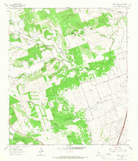 1964 Cobbs Cavern1966 Print · USGSThe ranching country of Williamson County is captured here in the mid-1960s, showing a landscape defined by limestone springs and family-named creeks. Researchers can locate burial sites like Farmer Cem and geological landmarks like Cobbs Cavern.
- 1985 Map of Taylor, 1986 Print
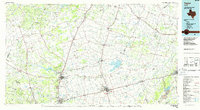 1985 Taylor1986 Print · USGSWilliamson and Bell counties in the mid-eighties reveal a landscape where the cattle and cotton economy met burgeoning rail infrastructure. Genealogists and historians can trace the paths of the Missouri Pacific railroad through unique hamlets like Ding Dong, Frame Switch, and Beyersville.2 unique versions available
- 2010 Map of Cobbs Cavern, 2010 Print
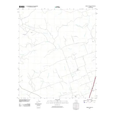 2010 Cobbs Cavern2010 Print · USGSWilliamson County ranch land meets new residential growth in the early twenty-first century as the countryside begins to subdivide. Researchers can trace family history at the Land Cemetery or locate landmarks like Sybert Farm Airport and Schoolhouse Hollow.
- 2013 Map of Cobbs Cavern, 2013 Print
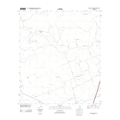 2013 Cobbs Cavern2013 Print · USGSNorth of Georgetown in the early 2010s, this area shows a landscape defined by ranching roots and karst geology. Researchers can locate family landmarks like the Land Cem, trace the drainage of Smalley Br, and identify the site of Cobbs Cavern.
- 2016 Map of Cobbs Cavern, 2016 Print
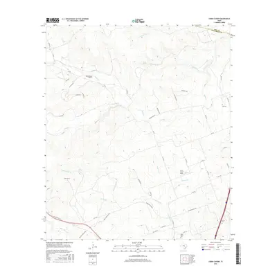 2016 Cobbs Cavern2016 Print · USGSThe Williamson County hills north of Georgetown appear here in the mid-2010s, showing a landscape defined by ranch roads and karst features. Researchers can locate family landmarks like Land Cem, the geologic depths of Cobbs Cavern, and the Sybert Farm Airport.
- 2019 Map of Cobbs Cavern, 2019 Print
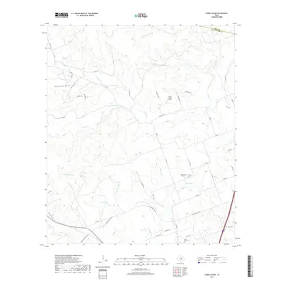 2019 Cobbs Cavern2019 Print · USGSThe ranchlands north of Georgetown are mapped here in the late 2010s, showing a landscape defined by Hill Country springs and family heritage. Researchers can locate several historical burial sites including Land Cem and Salyer- Millard Cem near Cobbs Springs.
- 2022 Map of Cobbs Cavern, 2022 Print
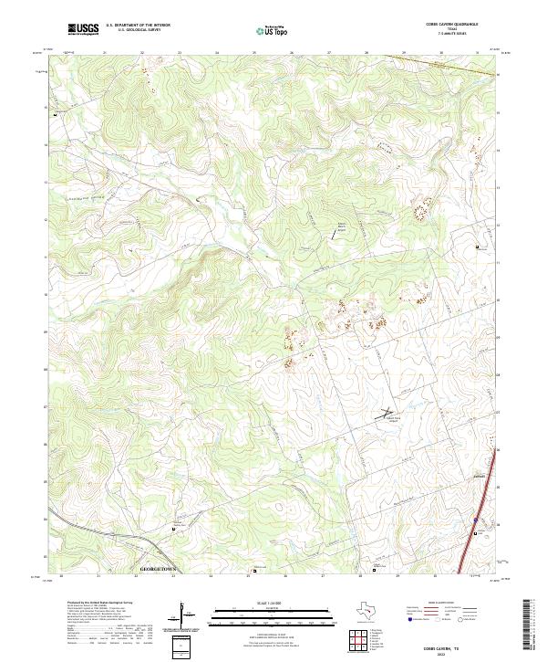 2022 Cobbs Cavern2022 Print · USGSNorth of the capital, the rural landscape between Jarrell and Georgetown was transitioning into a modern suburban network by the early 2020s. Researchers can trace family history at the Sullivan Family Cem or Lawler Cem and locate landmarks like Spears Ranch Airport.
End of results
Showing maps 1-9 of 9
Top cities near Peyton
- Killeen historical maps
- Temple historical maps
- Georgetown historical maps
- Harker Heights historical maps
- Copperas Cove historical maps
- Leander historical maps
See more
Frequently asked questions
- What are the different types of historical maps available for Peyton?
- What is the oldest map of Peyton?
- Where can I purchase historical maps of Peyton for my home or office?
- Where can I download high-res historical maps of Peyton?
- Are there historical topographic maps available for Peyton?
- Is there historical aerial imagery available for Peyton?
- Where are historical maps of Peyton sourced from?