Old Maps of Sunnyside, Texas for Academic Research
Study the evolution of Sunnyside with 10 high-resolution historic maps. Whether you're teaching, researching, or modeling changes in land use, these maps provide essential visual documentation of urban, environmental, and geographic change.
- Analyze long-term change: Track patterns in development, transportation, and natural features.
- Ideal for environmental or urban studies: Support academic projects with primary historical map data.
- Use in the classroom or lab: Educators and researchers rely on these maps to bring historical context to life.
These maps are a powerful tool for teaching, research, and visualizing how Sunnyside has changed over the decades.
Sunnyside, TX maps
(10)- 1936 Map of Floresville, 1958 Print
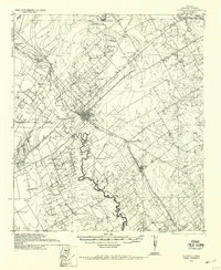 1936 Floresville1958 Print · USGSWilson County was a landscape of independent ranches and river-bend missions in the mid-1930s. Genealogists can locate family landmarks like Dewees Ranch, rural schoolhouses such as Green School, and the historic site of Mission de las Cabras.
 - 1954 Map of San Antonio, 1964 Print
 1954 San Antonio1964 Print · USGSSan Antonio and the Texas Hill Country are captured here in the mid-fifties, showing a landscape defined by massive military air bases and the rising Canyon Reservoir. Trace family ties through historic rail towns like D'Hanis and Castroville or explore the Cold War footprint of Lackland AFB and Randolph AFB.3 unique versions available
 - 1957 Map of San Antonio
 1957 San Antonio1957 Print · USGSSan Antonio and the Texas Hill Country are shown here during the mid-fifties, capturing the region's expanding post-war military and transportation footprint. Genealogists and local historians can trace the early residential boundaries of Alamo Heights or locate rural landmarks like St Hedwig and Medina Lake.
 - 1961 Map of Marcelinas Hills, 1963 Print
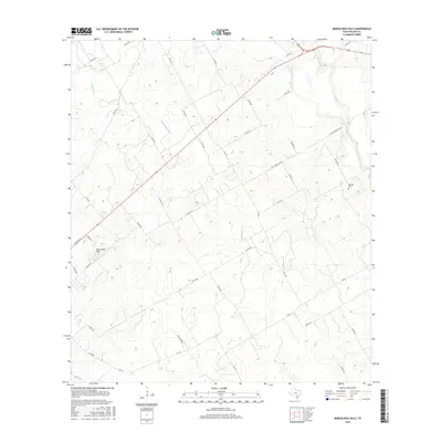
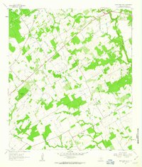 1961 Marcelinas Hills1963 Print · USGSWilson County rural life in the early sixties was defined by oil exploration and creek-side settlements. Researchers can trace family sites near Marcelina Ch, explore the path of the Old Railroad Grade, or locate the Wheeler Cem and Sunnyside.
 - 1985 Map of San Antonio
 1985 San Antonio1985 Print · USGSSan Antonio and its surrounding hill country are captured in the mid-eighties during a period of significant suburban and military expansion. Genealogists and historians can trace the footprint of Kelly Air Force Base, old rail lines like the Missouri-Kansas-Texas, and smaller communities like Saspamco or Zuehl.3 unique versions available
 - 2010 Map of Marcelinas Hills, 2010 Print
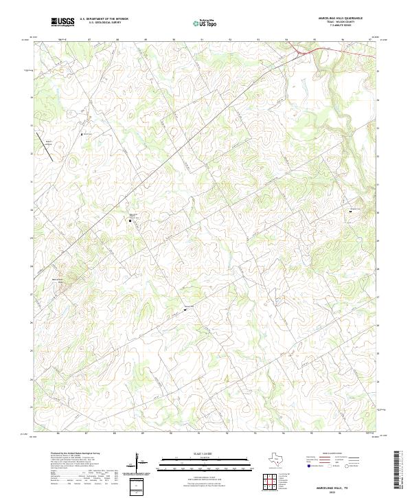
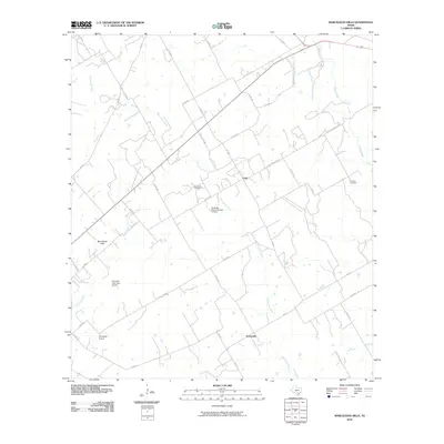 2010 Marcelinas Hills2010 Print · USGSCovers Sunnyside, including Unity, Wilson County, and other nearby areas
 - 2013 Map of Marcelinas Hills, 2013 Print
 2013 Marcelinas Hills2013 Print · USGSCovers Sunnyside, including Unity, Wilson County, and other nearby areas
 - 2016 Map of Marcelinas Hills, 2016 Print
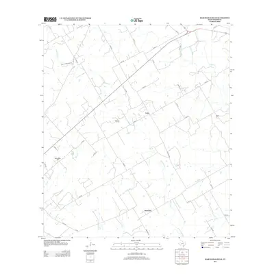
 2016 Marcelinas Hills2016 Print · USGSCovers Sunnyside, including Unity, Wilson County, and other nearby areas
 - 2019 Map of Marcelinas Hills, 2019 Print
 2019 Marcelinas Hills2019 Print · USGSCovers Sunnyside, including Unity, Wilson County, and other nearby areas
 - 2022 Map of Marcelinas Hills, 2022 Print
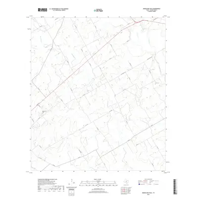
 2022 Marcelinas Hills2022 Print · USGSThe rural landscape of Wilson County is captured here in the early 2020s, showing a settled terrain defined by creek beds and country roads. Researchers can trace family history at the Marcelina Baptist Church Cemetery, Shiloh Cemetery, and Harper Cemetery.
End of results
Showing maps 1-10 of 10
Top cities near Sunnyside
- San Antonio historical maps
- Floresville historical maps
- Poth historical maps
- Saint Hedwig historical maps
- Stockdale historical maps
- La Vernia historical maps
See more
Frequently asked questions
- What are the different types of historical maps available for Sunnyside?
- What is the oldest map of Sunnyside?
- Where can I purchase historical maps of Sunnyside for my home or office?
- Where can I download high-res historical maps of Sunnyside?
- Are there historical topographic maps available for Sunnyside?
- Is there historical aerial imagery available for Sunnyside?
- Where are historical maps of Sunnyside sourced from?