Old Maps of Vesrue, Texas for Academic Research
Study the evolution of Vesrue with 9 high-resolution historic maps. Whether you're teaching, researching, or modeling changes in land use, these maps provide essential visual documentation of urban, environmental, and geographic change.
- Analyze long-term change: Track patterns in development, transportation, and natural features.
- Ideal for environmental or urban studies: Support academic projects with primary historical map data.
- Use in the classroom or lab: Educators and researchers rely on these maps to bring historical context to life.
These maps are a powerful tool for teaching, research, and visualizing how Vesrue has changed over the decades.
Vesrue, TX maps
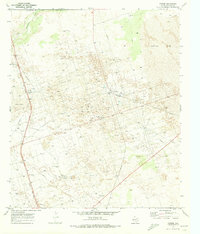
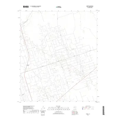
(9)- 1954 Map of Pecos, 1964 Print
 1954 Pecos1964 Print · USGSMid-century West Texas reveals a landscape of expanding oil fields and cattle ranching along the winding Pecos River. Local historians can trace family ranch lands like Goodrich Ranch, follow the Texas and Pacific rails, or locate the historic Horsehead Crossing.3 unique versions available
 - 1957 Map of Pecos
 1957 Pecos1957 Print · USGSWest Texas in the mid-fifties is a landscape of desert oil fields and vital rail corridors. Researchers can trace the sprawling Pyote Air Force Base, the historic Horsehead Crossing, and the rail stops at Mentone and Saragosa.
 - 1970 Map of Vesrue, 1973 Print
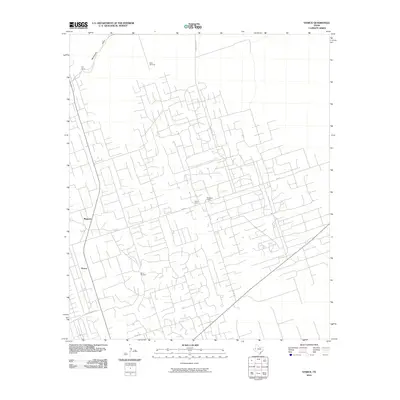
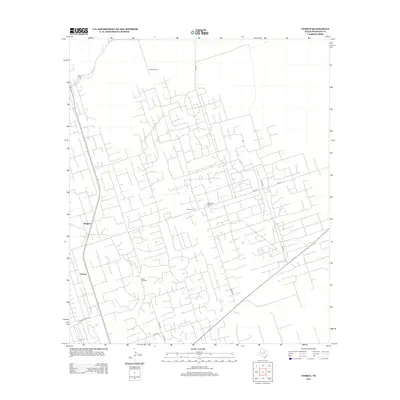
 1970 Vesrue1973 Print · USGSThe Texas and New Mexico borderlands come alive in the late 1960s, showing a landscape defined by the energy boom and desert terrain. Trace the industrial footprint of Star Camp, Perry Bass Camp, and the rail point at Vesrue among the Shifting Sand.
 - 1986 Map of Kermit
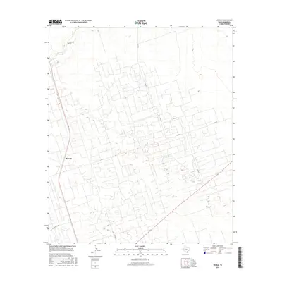
 1986 Kermit1986 Print · USGSWest Texas during the mid-eighties was a landscape defined by the energy industry and the winding Pecos River. Trace the development of Oil Field networks near Kermit, the historic Horsehead Crossing, and the rail lines of the Missouri Pacific.2 unique versions available
 - 2010 Map of Vesrue, 2010 Print
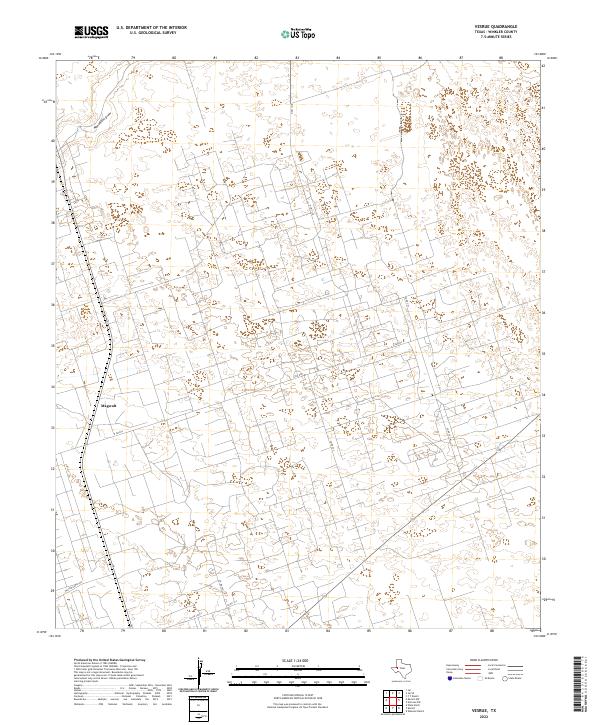
 2010 Vesrue2010 Print · USGSCovers Vesrue, including Magwalt, Winkler County, and other nearby areas
 - 2012 Map of Vesrue, 2012 Print
 2012 Vesrue2012 Print · USGSCovers Vesrue, including Magwalt, Winkler County, and other nearby areas
 - 2016 Map of Vesrue, 2016 Print
 2016 Vesrue2016 Print · USGSCovers Vesrue, including Magwalt, Winkler County, and other nearby areas
 - 2019 Map of Vesrue, 2019 Print
 2019 Vesrue2019 Print · USGSCovers Vesrue, including Magwalt, Winkler County, and other nearby areas
 - 2022 Map of Vesrue, 2022 Print
 2022 Vesrue2022 Print · USGSWinkler County is shown at the height of its industrial and ranching activity in this contemporary survey of the Permian Basin. Researchers can trace the extensive network of service roads and local routes surrounding Magwalt, including N FM 874 and Monument Draw.
End of results
Showing maps 1-9 of 9
Top cities near Vesrue
Frequently asked questions
- What are the different types of historical maps available for Vesrue?
- What is the oldest map of Vesrue?
- Where can I purchase historical maps of Vesrue for my home or office?
- Where can I download high-res historical maps of Vesrue?
- Are there historical topographic maps available for Vesrue?
- Is there historical aerial imagery available for Vesrue?
- Where are historical maps of Vesrue sourced from?