Old Maps of Stanolind, Wink for Genealogy
Trace your family roots with 9 historic maps of Stanolind. These high-res maps reveal old neighborhoods, homesites, landmarks, and streets — helping you uncover where your ancestors lived and how the area evolved over time.
- Explore historic neighborhoods: Identify where your relatives may have lived in the 1800s or 1900s.
- Compare maps over time: Trace the changes in streets, buildings, and landmarks for multi-generational research.
- Perfect for genealogy & ancestry research: Used by family historians and researchers to map out lineage and migration.
These maps are an incredible resource for exploring your personal connection to Stanolind's past.
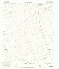
Stanolind, Wink maps
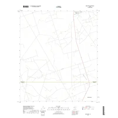
(9)- 1954 Map of Pecos, 1964 Print
 1954 Pecos1964 Print · USGSMid-century West Texas reveals a landscape of expanding oil fields and cattle ranching along the winding Pecos River. Local historians can trace family ranch lands like Goodrich Ranch, follow the Texas and Pacific rails, or locate the historic Horsehead Crossing.3 unique versions available
 - 1957 Map of Pecos
 1957 Pecos1957 Print · USGSWest Texas in the mid-fifties is a landscape of desert oil fields and vital rail corridors. Researchers can trace the sprawling Pyote Air Force Base, the historic Horsehead Crossing, and the rail stops at Mentone and Saragosa.
 - 1968 Map of Wink South, 1971 Print
 1968 Wink South1971 Print · USGSWinkler County ranching and petroleum interests intersect in the Permian Basin during the late sixties. Researchers can trace the layout of the Old Railroad Grade and locate named rural landmarks like Oats Windmill and the Waldron site.2 unique versions available
 - 1986 Map of Kermit
 1986 Kermit1986 Print · USGSWest Texas during the mid-eighties was a landscape defined by the energy industry and the winding Pecos River. Trace the development of Oil Field networks near Kermit, the historic Horsehead Crossing, and the rail lines of the Missouri Pacific.2 unique versions available
 - 2010 Map of Wink South, 2010 Print
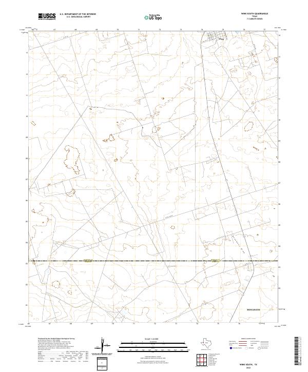
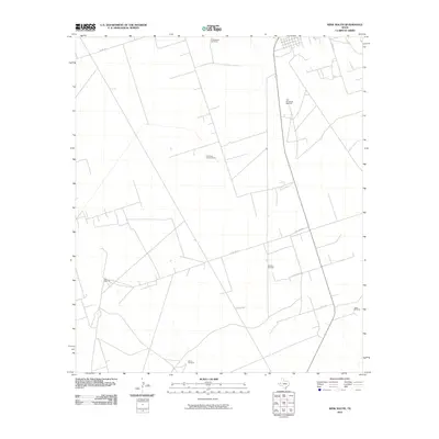 2010 Wink South2010 Print · USGSCovers Stanolind, including Monahans, Wink, and other nearby areas
 - 2013 Map of Wink South, 2013 Print
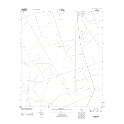 2013 Wink South2013 Print · USGSCovers Stanolind, including Monahans, Wink, and other nearby areas
 - 2016 Map of Wink South, 2016 Print
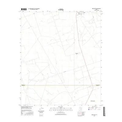 2016 Wink South2016 Print · USGSCovers Stanolind, including Monahans, Wink, and other nearby areas
 - 2019 Map of Wink South, 2019 Print
 2019 Wink South2019 Print · USGSCovers Stanolind, including Monahans, Wink, and other nearby areas
 - 2022 Map of Wink South, 2022 Print
 2022 Wink South2022 Print · USGSThe northern reaches of the Permian Basin are captured in this 2022 survey, showing the transition from the town of Wink to the open flats of Winkler Co. Trace the residential grid along S Monahans Dr and follow the route of Little Joe Rd across the wide expanse toward Monument Draw.
End of results
Showing maps 1-9 of 9
Frequently asked questions
- What are the different types of historical maps available for Stanolind?
- What is the oldest map of Stanolind?
- Where can I purchase historical maps of Stanolind for my home or office?
- Where can I download high-res historical maps of Stanolind?
- Are there historical topographic maps available for Stanolind?
- Is there historical aerial imagery available for Stanolind?
- Where are historical maps of Stanolind sourced from?