Old Maps of Stanolind, Wink for Metal Detecting
Plan your next treasure hunt with 9 historic maps of Stanolind. Find old homesites, ghost towns, trails, and gathering spots that may be lost to time — perfect for identifying promising metal detecting locations.
- Locate forgotten sites: Uncover places like long-lost settlements, abandoned rail lines, or gathering spots.
- Plan better hunts: Use map overlays combined with LiDAR or satellite views to narrow in on historically rich areas.
- Made for detectorists: Thousands of hobbyists use these maps to discover relics, coins, and hidden history.
Use these historic maps to boost your research and find new opportunities beneath the surface of Stanolind.
Stanolind, Wink maps
(9)- 1954 Map of Pecos, 1964 Print
 1954 Pecos1964 Print · USGSMid-century West Texas reveals a landscape of expanding oil fields and cattle ranching along the winding Pecos River. Local historians can trace family ranch lands like Goodrich Ranch, follow the Texas and Pacific rails, or locate the historic Horsehead Crossing.3 unique versions available
 - 1957 Map of Pecos
 1957 Pecos1957 Print · USGSWest Texas in the mid-fifties is a landscape of desert oil fields and vital rail corridors. Researchers can trace the sprawling Pyote Air Force Base, the historic Horsehead Crossing, and the rail stops at Mentone and Saragosa.
 - 1968 Map of Wink South, 1971 Print
 1968 Wink South1971 Print · USGSWinkler County ranching and petroleum interests intersect in the Permian Basin during the late sixties. Researchers can trace the layout of the Old Railroad Grade and locate named rural landmarks like Oats Windmill and the Waldron site.2 unique versions available
 - 1986 Map of Kermit
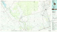 1986 Kermit1986 Print · USGSWest Texas during the mid-eighties was a landscape defined by the energy industry and the winding Pecos River. Trace the development of Oil Field networks near Kermit, the historic Horsehead Crossing, and the rail lines of the Missouri Pacific.2 unique versions available
 - 2010 Map of Wink South, 2010 Print
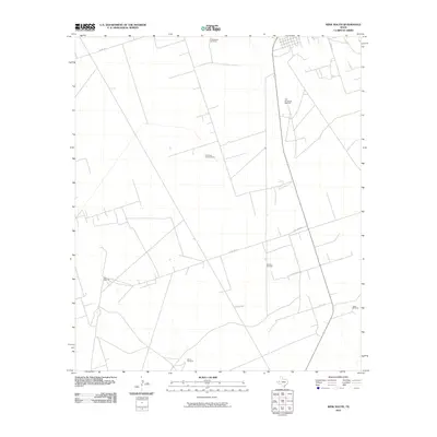 2010 Wink South2010 Print · USGSThe West Texas range south of Wink appears in the early twenty-first century as a land of isolated ranch outposts and vital water points. Researchers can trace rural routes like Little Joe Rd to find landmarks such as the Old Brookfield Windmill and Jakes Windmill.
 - 2013 Map of Wink South, 2013 Print
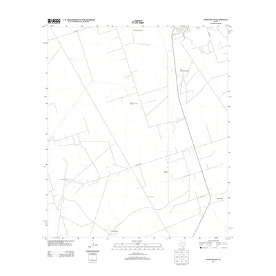 2013 Wink South2013 Print · USGSThis part of West Texas shows a landscape dedicated to ranching and resource management during the early twenty-first century. Researchers can trace rural development and water infrastructure through family-named sites like Harvel Windmill, Oats Windmill, and Old Brookfield Windmill.
 - 2016 Map of Wink South, 2016 Print
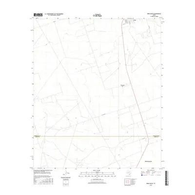 2016 Wink South2016 Print · USGSWest Texas ranch and oil country come into focus in the mid-2010s as the landscape shifts between Wink and Monahans. Researchers can trace the path of Monument Draw or locate specific rural addresses along Little Joe Rd and Co Rd 120.
 - 2019 Map of Wink South, 2019 Print
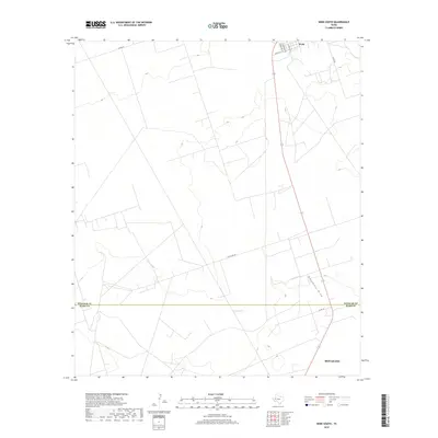 2019 Wink South2019 Print · USGSWest Texas ranch and oil country is captured here during the late twenty-teens as the landscape transitions between Winkler and Ward counties. Trace the rural road network and drainage patterns along Monument Draw near the settlements of Wink and Monahans.
 - 2022 Map of Wink South, 2022 Print
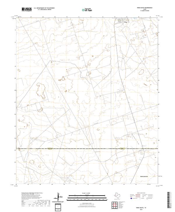 2022 Wink South2022 Print · USGSThe northern reaches of the Permian Basin are captured in this 2022 survey, showing the transition from the town of Wink to the open flats of Winkler Co. Trace the residential grid along S Monahans Dr and follow the route of Little Joe Rd across the wide expanse toward Monument Draw.
End of results
Showing maps 1-9 of 9
Frequently asked questions
- What are the different types of historical maps available for Stanolind?
- What is the oldest map of Stanolind?
- Where can I purchase historical maps of Stanolind for my home or office?
- Where can I download high-res historical maps of Stanolind?
- Are there historical topographic maps available for Stanolind?
- Is there historical aerial imagery available for Stanolind?
- Where are historical maps of Stanolind sourced from?