2000s (21st Century) Maps of Newark, Texas
Explore 20 historic maps of Newark from the 2000s (21st Century). These maps offer a rare glimpse into what life looked like during the 2000s — showing old roads, neighborhoods, homes, and landmarks that have changed or disappeared over time.
Whether you're researching your family's past, planning a metal detecting trip, or studying how Newark's landscape evolved across the 2000s, these high-resolution maps are a powerful tool for exploring the history of this region.
- Focus on a specific era: All maps on this page are from the 2000s, giving you a focused view of this time period.
- See what’s changed: Compare century-old streets, trails, and buildings to today's modern landscape using overlays and satellite layers.
- Research with precision: Use these maps for genealogy, historical research, land use analysis, or educational projects.
- View, download, or print: Maps are fully viewable online in high resolution, and can be downloaded or printed for your own records.
Start exploring Newark's history through authentic maps from the 2000s. This is your window into the past.
Newark, TX maps
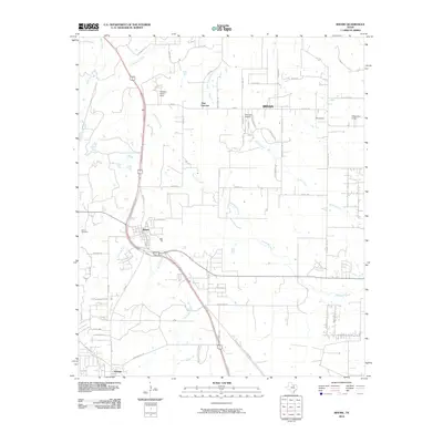
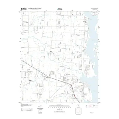
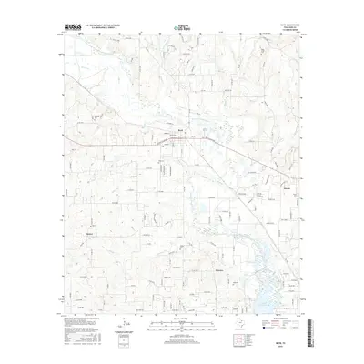
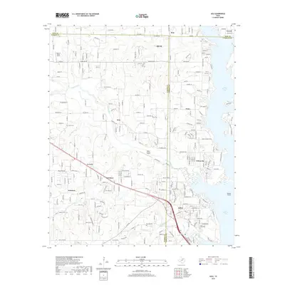
(20)- 2010 Map of Boyd, 2010 Print
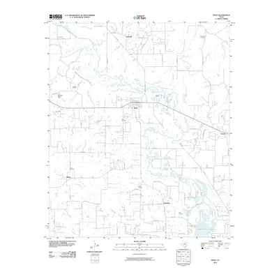 2010 Boyd2010 Print · USGSCovers Newark, including Rhome, Boyd, and other nearby areas
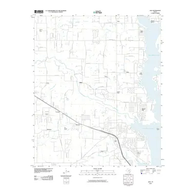
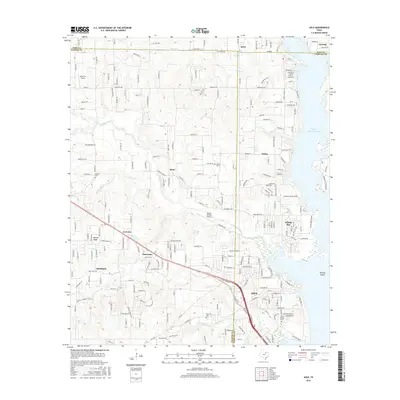
 - 2010 Map of Rhome, 2010 Print
 2010 Rhome2010 Print · USGSCovers Newark, including Fort Worth, Rhome, and other nearby areas
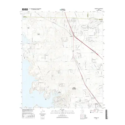
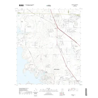
 - 2010 Map of Avondale, 2010 Print
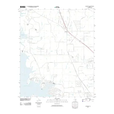 2010 Avondale2010 Print · USGSCovers Newark, including Fort Worth, Saginaw, and other nearby areas
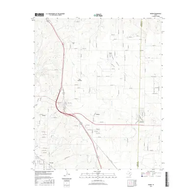
 - 2010 Map of Azle, 2010 Print
 2010 Azle2010 Print · USGSCovers Newark, including Azle, Reno, and other nearby areas
 - 2012 Map of Azle, 2012 Print
 2012 Azle2012 Print · USGSCovers Newark, including Azle, Reno, and other nearby areas
 - 2012 Map of Avondale, 2012 Print
 2012 Avondale2012 Print · USGSCovers Newark, including Fort Worth, Saginaw, and other nearby areas
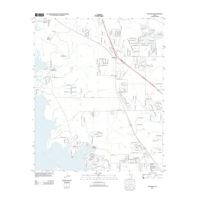
 - 2013 Map of Rhome, 2013 Print
 2013 Rhome2013 Print · USGSCovers Newark, including Fort Worth, Rhome, and other nearby areas
 - 2013 Map of Boyd, 2013 Print
 2013 Boyd2013 Print · USGSCovers Newark, including Rhome, Boyd, and other nearby areas
 - 2016 Map of Boyd, 2016 Print
 2016 Boyd2016 Print · USGSCovers Newark, including Rhome, Boyd, and other nearby areas
 - 2016 Map of Avondale, 2016 Print
 2016 Avondale2016 Print · USGSCovers Newark, including Fort Worth, Saginaw, and other nearby areas
 - 2016 Map of Rhome, 2016 Print
 2016 Rhome2016 Print · USGSCovers Newark, including Fort Worth, Rhome, and other nearby areas
 - 2016 Map of Azle, 2016 Print
 2016 Azle2016 Print · USGSCovers Newark, including Azle, Reno, and other nearby areas
 - 2019 Map of Azle, 2019 Print
 2019 Azle2019 Print · USGSCovers Newark, including Azle, Reno, and other nearby areas
 - 2019 Map of Avondale, 2019 Print
 2019 Avondale2019 Print · USGSCovers Newark, including Fort Worth, Saginaw, and other nearby areas
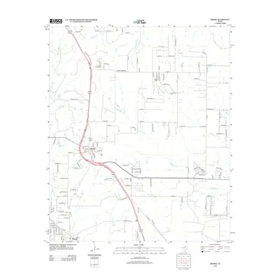
 - 2019 Map of Boyd, 2019 Print
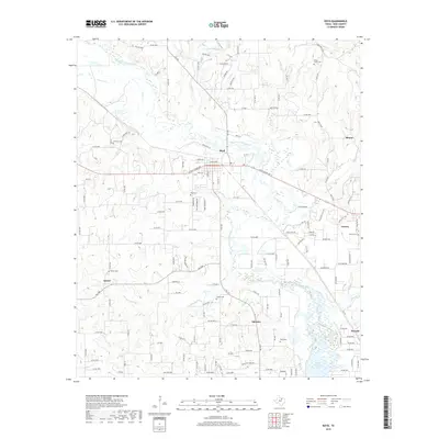 2019 Boyd2019 Print · USGSCovers Newark, including Rhome, Boyd, and other nearby areas
 - 2019 Map of Rhome, 2019 Print
 2019 Rhome2019 Print · USGSCovers Newark, including Fort Worth, Rhome, and other nearby areas
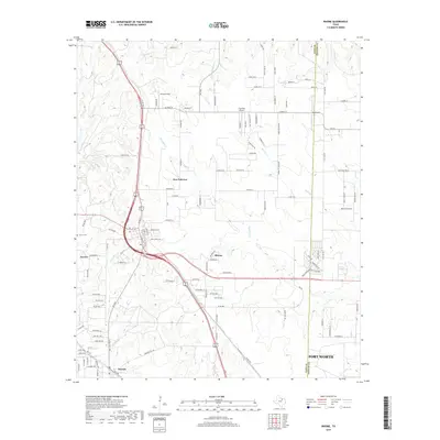
 - 2022 Map of Boyd, 2022 Print
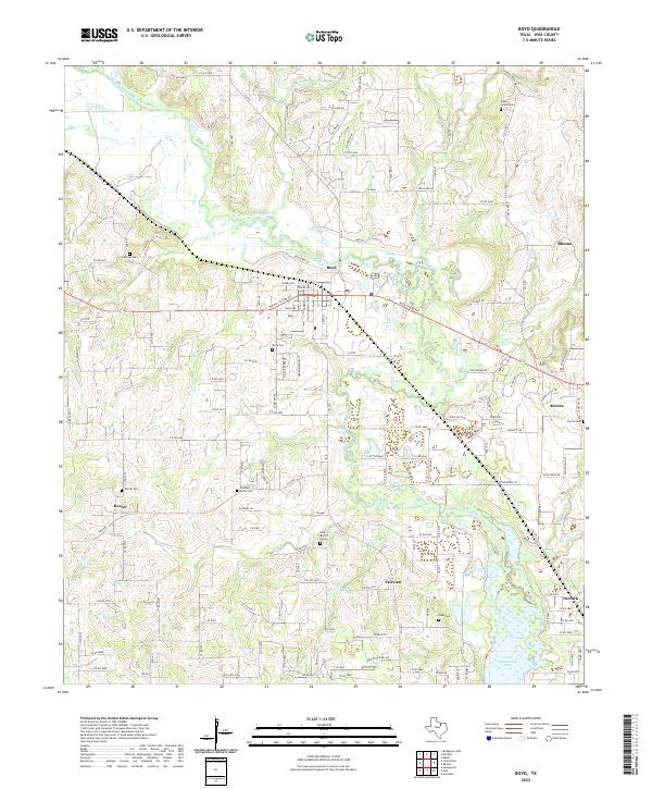 2022 Boyd2022 Print · USGSWise County's rural character is preserved in this recent survey, showing the landscape north of the lake at a time of steady growth. Genealogists can trace family heritage across sites like Deep Creek Cem, Keeter Cem, and the old rail corridor of W Rock Island Ave.
 - 2022 Map of Rhome, 2022 Print
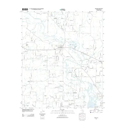
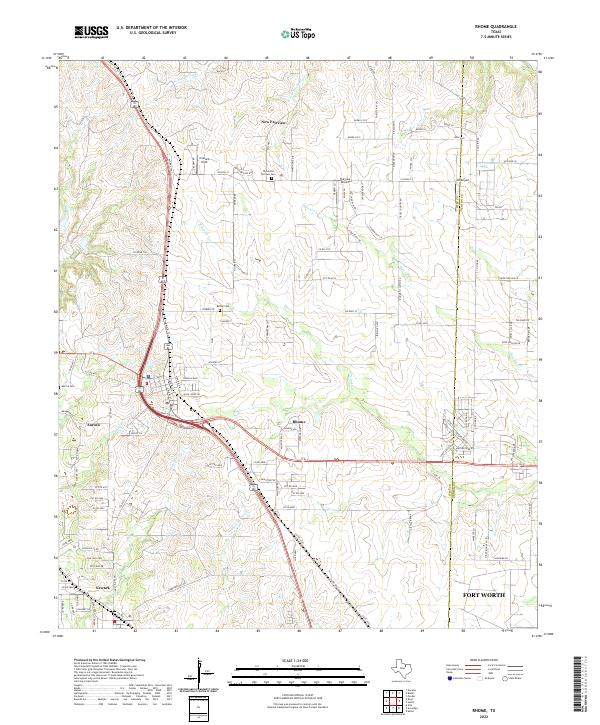 2022 Rhome2022 Print · USGSNorth Texas prairie life meets modern aviation in the early 2020s as the communities of Wise County continue to grow. Genealogists and historians can trace local roots at Thurmond Fairview Cem or follow the path of the legendary Chisolm Trl.
 - 2022 Map of Azle, 2022 Print
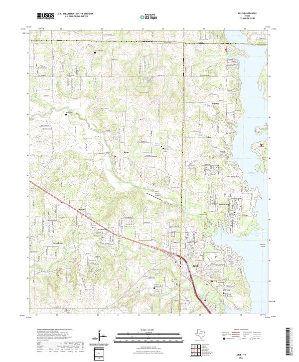 2022 Azle2022 Print · USGSAzle and the western shores of Eagle Mountain Lake are captured here during a period of sustained suburban growth. Genealogists can trace family landmarks like Ash Creek Cem, Jay Bird Cem, and the communities of Pelican Bay and Reno.
 - 2022 Map of Avondale, 2022 Print
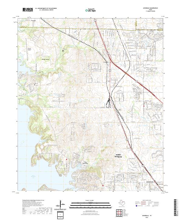 2022 Avondale2022 Print · USGSTarrant County and the fringes of Wise and Denton counties are shown in this recent survey of the North Texas suburbs. Genealogists and local historians can trace the lakeside development near Eagle Mountain Lake or find the grounds of Indian Creek Cem and Dido Cem.
End of results
Showing maps 1-20 of 20
Top cities near Newark
- Fort Worth historical maps
- Denton historical maps
- North Richland Hills historical maps
- Keller historical maps
- Haltom City historical maps
- Weatherford historical maps
See more
Frequently asked questions
- What are the different types of historical maps available for Newark?
- What is the oldest map of Newark?
- Where can I purchase historical maps of Newark for my home or office?
- Where can I download high-res historical maps of Newark?
- Are there historical topographic maps available for Newark?
- Is there historical aerial imagery available for Newark?
- Where are historical maps of Newark sourced from?