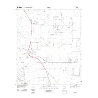
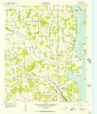
2013 Map of Rhome
USGS Topo · Published 2013About this map
Rhome and New Fairview anchor this landscape during a period of significant suburban expansion north of Fort Worth. The area is defined by its aviation history and residential growth, featuring multiple local airstrips including Fairview Airport, Howard Field Airport, and JW Airport. A network of creeks, such as Elizabeth Creek, Harriet Creek, and Derrett Creek, weave through the terrain, influencing the layout of modern subdivisions and farm-to-market roads. A notable historical nod is found in the naming of Old Chisholm Trl, suggesting the enduring legacy of early cattle drive routes. The map records the densification of road networks like FM-2264 and numerous private lanes that branch off the primary corridor of Highway 287, illustrating the transition from open ranch land to a structured residential and commuter community in the early 21st century.
Find a feature on this map
131 named features on this map. Tap any name to fly to it.
Don’t see what you’re looking for? This feature index may not catch every label — zoom into the map to look around manually.
Map Details
Editions of this 2013 Rhome Map
This is the sole edition of this map. No revisions or reprints were ever made.
Other maps of this area
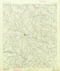
1891 · Weatherford
USGS Topo · 1:125,000
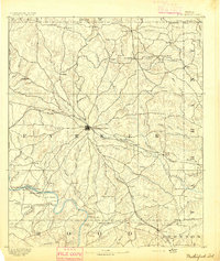
1893 · Weatherford
USGS Topo · 1:125,000
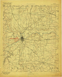
1894 · Fort Worth
USGS Topo · 1:125,000
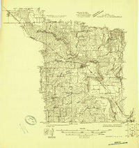
1924 · Sunset 4-d
USGS Topo · 1:48,000
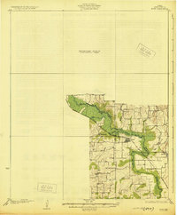
1930 · Boyd
USGS Topo · 1:62,500
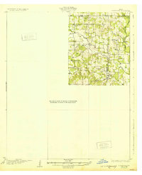
1932 · Springtown
USGS Topo · 1:62,500

1954 · Dallas
USGS Topo · 1:250,000

1954 · Sherman
USGS Topo · 1:250,000
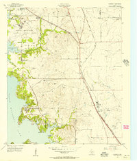
1955 · Avondale
USGS Topo · 1:24,000
1955 · Azle
USGS Topo · 1:24,000