Old Maps of Cumberland County, Tennessee
Explore 86 old maps of Cumberland County, spanning from 1887 to today. These high-resolution historic maps reveal how streets, neighborhoods, landmarks, and natural features evolved over time — perfect for genealogy, metal detecting, research, and local history exploration.
What you can do with these maps:
- See how Cumberland County changed over time: Compare historical maps to modern-day views to trace roads, homesites, rail lines & more.
- View detailed metadata: Each map includes creators, publishers, year, scale, and archive source.
- Overlay maps with satellite & LiDAR: Visualize the past alongside modern tools to explore terrain & human change.
- Trusted historical sources: Maps sourced from the USGS, Library of Congress, and other archives.
- Access maps your way: View online, download high-res files, or order prints for personal or research use.
Start exploring old maps of Cumberland County to uncover forgotten places, hidden landmarks, and the deep history beneath your feet.
Cumberland County, TN maps
(86)- 1887 Map of Kingston
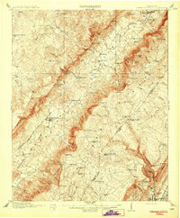
 1887 Kingston1887 Print · USGSCovers Cumberland County, including Athens, Crossville, and other nearby areas
 - 1891 Map of Kingston
 1891 Kingston1891 Print · USGSCovers Cumberland County, including Athens, Crossville, and other nearby areas2 unique versions available
 - 1892 Map of Pikeville
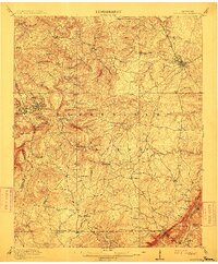
 1892 Pikeville1892 Print · USGSCovers Cumberland County, including Crossville, Dayton, and other nearby areas
 - 1893 Map of Kingston, 1905 Print
 1893 Kingston1905 Print · USGSCovers Cumberland County, including Athens, Crossville, and other nearby areas5 unique versions available
 - 1895 Map of Wartburg
 1895 Wartburg1895 Print · USGSCovers Cumberland County, including Fairfield Glade, Oneida, and other nearby areas
 - 1895 Map of Pikeville
 1895 Pikeville1895 Print · USGSCovers Cumberland County, including Crossville, Dayton, and other nearby areas7 unique versions available
 - 1896 Map of Wartburg
 1896 Wartburg1896 Print · USGSCovers Cumberland County, including Fairfield Glade, Oneida, and other nearby areas6 unique versions available
 - 1897 Map of Standingstone
 1897 Standingstone1897 Print · USGSCovers Cumberland County, including Cookeville, Crossville, and other nearby areas
 - 1898 Map of Standingstone
 1898 Standingstone1898 Print · USGSCovers Cumberland County, including Cookeville, Crossville, and other nearby areas8 unique versions available
 - 1909 Map of Sequatchie Valley, 1955 Print
 1909 Sequatchie Valley1955 Print · USGSCovers Cumberland County, including Dayton, Pikeville, and other nearby areas
 - 1910 Map of Pikeville
 1910 Pikeville1910 Print · USGSCovers Cumberland County, including Dayton, Pikeville, and other nearby areas2 unique versions available
 - 1912 Map of Crossville
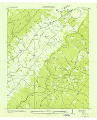
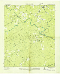
 1912 Crossville1912 Print · USGSCovers Cumberland County, including Crossville, Pleasant Hill, and other nearby areas2 unique versions available
 - 1935 Map of Rockwood
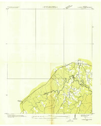
 1935 Rockwood1935 Print · USGSCovers Cumberland County, including Rockwood, Post Oak Farms, and other nearby areas
 - 1935 Map of Melvine
 1935 Melvine1935 Print · USGSCovers Cumberland County, including Litton, Melvine, and other nearby areas
 - 1935 Map of Isoline
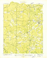
 1935 Isoline1935 Print · USGSCovers Cumberland County, including Crossville, Creston, and other nearby areas
 - 1935 Map of Campbell Junction
 1935 Campbell Junction1935 Print · USGSCovers Cumberland County, including Monterey, Hillwood Estates, and other nearby areas
 - 1935 Map of Clarkrange
 1935 Clarkrange1935 Print · USGSCovers Cumberland County, including Camp Ground, Rinnie, and other nearby areas
 - 1935 Map of Lancing
 1935 Lancing1935 Print · USGSCovers Cumberland County, including Catoosa, Nemo, and other nearby areas
 - 1935 Map of Vandever
 1935 Vandever1935 Print · USGSCovers Cumberland County, including Burke, Lake Tansi, and other nearby areas
 - 1936 Map of Hebbertsburg
 1936 Hebbertsburg1936 Print · USGSCovers Cumberland County, including Fairfield Glade, Obed Junction, and other nearby areas
 - 1936 Map of Fox Creek
 1936 Fox Creek1936 Print · USGSCovers Cumberland County, including Fairfield Glade, Catoosa Country, and other nearby areas
 - 1936 Map of Twin Bridges
 1936 Twin Bridges1936 Print · USGSCovers Cumberland County, including Flat Rock, Stowers, and other nearby areas
 - 1936 Map of Roddy
 1936 Roddy1936 Print · USGSCovers Cumberland County, including Dogwood, Reid Camp, and other nearby areas
 - 1936 Map of Ozone
 1936 Ozone1936 Print · USGSCovers Cumberland County, including Fairfield Glade, Crab Orchard, and other nearby areas
 - 1936 Map of Cardiff
 1936 Cardiff1936 Print · USGSCovers Cumberland County, including Rockwood, Mount Vernon, and other nearby areas
Showing maps 1-25 of 86
Top cities of Cumberland County
- Crossville historical maps
- Fairfield Glade historical maps
- Crab Orchard historical maps
- Pleasant Hill historical maps
Frequently asked questions
- What are the different types of historical maps available for Cumberland County?
- What is the oldest map of Cumberland County?
- Where can I purchase historical maps of Cumberland County for my home or office?
- Where can I download high-res historical maps of Cumberland County?
- Are there historical topographic maps available for Cumberland County?
- Is there historical aerial imagery available for Cumberland County?
- Where are historical maps of Cumberland County sourced from?