2000s (21st Century) Maps of Kaysville, Utah
Explore 10 historic maps of Kaysville from the 2000s (21st Century). These maps offer a rare glimpse into what life looked like during the 2000s — showing old roads, neighborhoods, homes, and landmarks that have changed or disappeared over time.
Whether you're researching your family's past, planning a metal detecting trip, or studying how Kaysville's landscape evolved across the 2000s, these high-resolution maps are a powerful tool for exploring the history of this region.
- Focus on a specific era: All maps on this page are from the 2000s, giving you a focused view of this time period.
- See what’s changed: Compare century-old streets, trails, and buildings to today's modern landscape using overlays and satellite layers.
- Research with precision: Use these maps for genealogy, historical research, land use analysis, or educational projects.
- View, download, or print: Maps are fully viewable online in high resolution, and can be downloaded or printed for your own records.
Start exploring Kaysville's history through authentic maps from the 2000s. This is your window into the past.
Kaysville, UT maps
(10)- 2011 Map of Farmington, 2011 Print
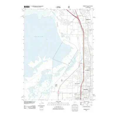 2011 Farmington2011 Print · USGSCovers Kaysville, including Bountiful, Farmington, and other nearby areas
 - 2011 Map of Kaysville, 2011 Print
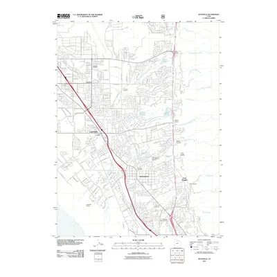 2011 Kaysville2011 Print · USGSCovers Kaysville, including Layton, Clearfield, and other nearby areas
 - 2014 Map of Farmington, 2014 Print
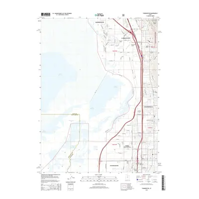 2014 Farmington2014 Print · USGSCovers Kaysville, including Bountiful, Farmington, and other nearby areas
 - 2014 Map of Kaysville, 2014 Print
 2014 Kaysville2014 Print · USGSCovers Kaysville, including Layton, Clearfield, and other nearby areas
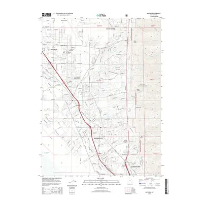
 - 2017 Map of Kaysville, 2017 Print
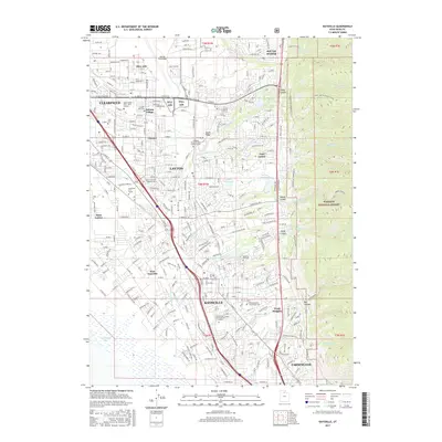 2017 Kaysville2017 Print · USGSCovers Kaysville, including Layton, Clearfield, and other nearby areas
 - 2017 Map of Farmington, 2017 Print
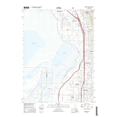 2017 Farmington2017 Print · USGSCovers Kaysville, including Bountiful, Farmington, and other nearby areas
 - 2020 Map of Kaysville, 2020 Print
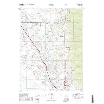 2020 Kaysville2020 Print · USGSCovers Kaysville, including Layton, Clearfield, and other nearby areas
 - 2020 Map of Farmington, 2020 Print
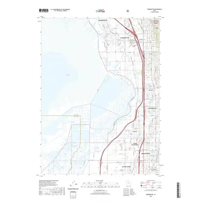 2020 Farmington2020 Print · USGSCovers Kaysville, including Bountiful, Farmington, and other nearby areas
 - 2023 Map of Farmington, 2023 Print
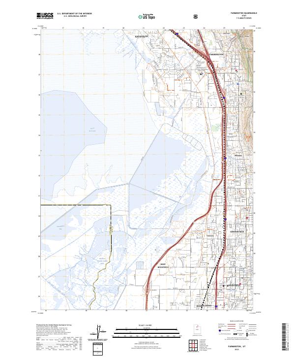 2023 Farmington2023 Print · USGSThe eastern shores of the Great Salt Lake meet the Wasatch Range in this modern record of Davis County. Trace the development of Farmington and West Bountiful, locating the Farmington City Cem and the Daniel Wood Cem.
 - 2023 Map of Kaysville, 2023 Print
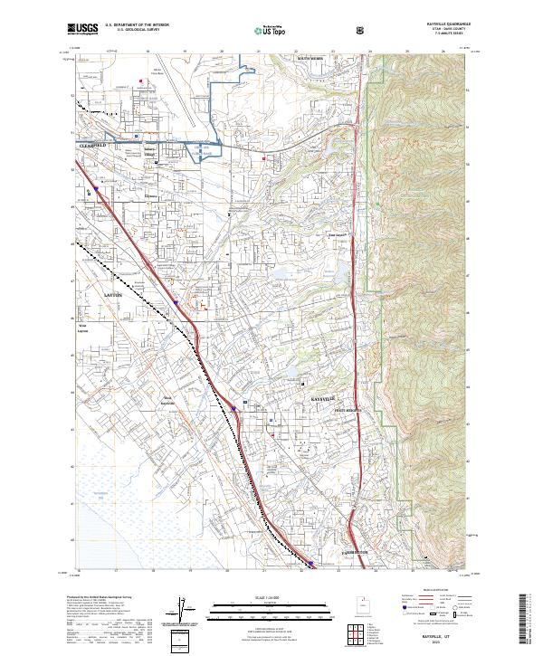 2023 Kaysville2023 Print · USGSDavis County's suburban corridor and the towering Wasatch front are captured in this recent survey, showcasing the area's dense development and military footprint. Researchers can trace local landmarks like Hill Air Force Base, Kaysville City Cem, and the Davis County Court House Layton District Court.
End of results
Showing maps 1-10 of 10
Top cities near Kaysville
- Salt Lake City historical maps
- Ogden historical maps
- Layton historical maps
- Bountiful historical maps
- Roy historical maps
- Syracuse historical maps
See more
Top neighborhoods of Kaysville
- Sunset Equestrian Estates historical maps
- Hen Farm Estates historical maps
- Oakridge Highlands historical maps
Frequently asked questions
- What are the different types of historical maps available for Kaysville?
- What is the oldest map of Kaysville?
- Where can I purchase historical maps of Kaysville for my home or office?
- Where can I download high-res historical maps of Kaysville?
- Are there historical topographic maps available for Kaysville?
- Is there historical aerial imagery available for Kaysville?
- Where are historical maps of Kaysville sourced from?