2020s Maps of Green River, Utah
Explore 12 historic maps of Green River from the 2020s. These maps offer a rare glimpse into what life looked like during the 2020s — showing old roads, neighborhoods, homes, and landmarks that have changed or disappeared over time.
Whether you're researching your family's past, planning a metal detecting trip, or studying how Green River's landscape evolved across the 2020s, these high-resolution maps are a powerful tool for exploring the history of this region.
- Focus on a specific era: All maps on this page are from the 2020s, giving you a focused view of this time period.
- See what’s changed: Compare century-old streets, trails, and buildings to today's modern landscape using overlays and satellite layers.
- Research with precision: Use these maps for genealogy, historical research, land use analysis, or educational projects.
- View, download, or print: Maps are fully viewable online in high resolution, and can be downloaded or printed for your own records.
Start exploring Green River's history through authentic maps from the 2020s. This is your window into the past.
Green River, UT maps
(12)- 2020 Map of Blue Castle Butte, 2020 Print
 2020 Blue Castle Butte2020 Print · USGSCovers Green River, including Grand County, Emery County, and other nearby areas
 - 2020 Map of Tusher Canyon, 2020 Print
 2020 Tusher Canyon2020 Print · USGSCovers Green River, including Grand County, Emery County, and other nearby areas
 - 2020 Map of Desert, 2020 Print
 2020 Desert2020 Print · USGSCovers Green River, including Emery County, United States, and other nearby areas
 - 2020 Map of Green River, 2020 Print
 2020 Green River2020 Print · USGSCovers Green River, including Grand County, Emery County, and other nearby areas
 - 2020 Map of Jessies Twist, 2020 Print
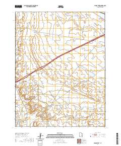 2020 Jessies Twist2020 Print · USGSCovers Green River, including Emery County, United States, and other nearby areas
 - 2020 Map of Green River NE, 2020 Print
 2020 Green River NE2020 Print · USGSCovers Green River, including Grand County, Emery County, and other nearby areas
 - 2023 Map of Jessies Twist, 2023 Print
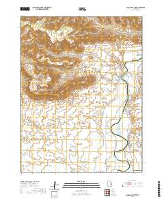
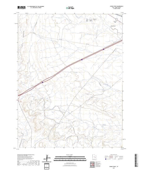 2023 Jessies Twist2023 Print · USGSEmery County's desert corridor is documented here in the early twenty-first century, showing the intersection of water management and industrial history. Researchers can locate the W Ninemile/Acerson Mine and trace the paths of Old Hwy Hanksville and the San Rafael River.
 - 2023 Map of Desert, 2023 Print
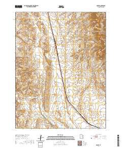
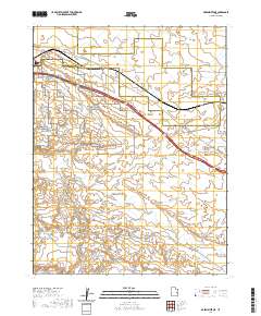
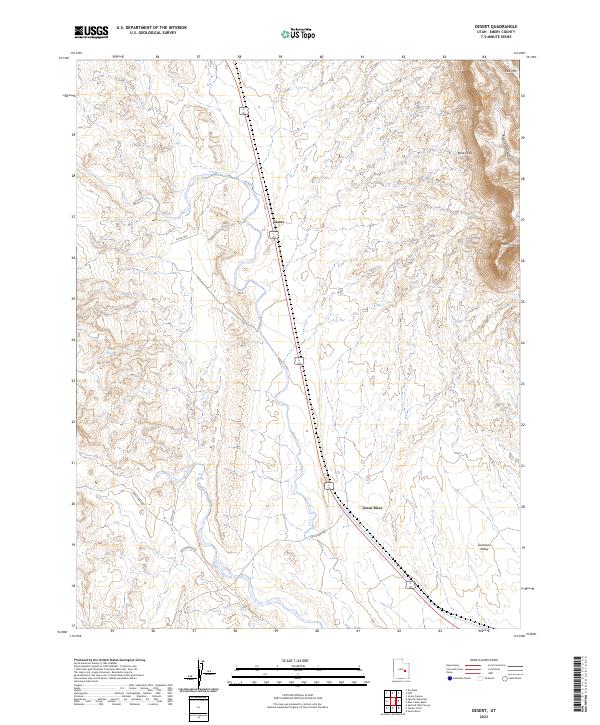 2023 Desert2023 Print · USGSEmery County is captured here in the early 2020s, showing the high-desert transition from the open Gunnison Valley to the rising Book Cliffs. Researchers can trace local routes like Buckmaster Rd and identify landmarks such as Desert and Trail Spring.
 - 2023 Map of Tusher Canyon, 2023 Print
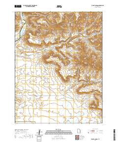
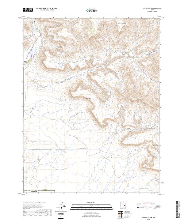 2023 Tusher Canyon2023 Print · USGSEastern Utah's high desert meets the river corridor in the 2020s, showing the complex drainage systems of the eastern Book Cliffs. Modern researchers can trace the course of the Green Wild and Scenic River past Gunnison Butte and into the depths of Tusher Canyon.
 - 2023 Map of Blue Castle Butte, 2023 Print
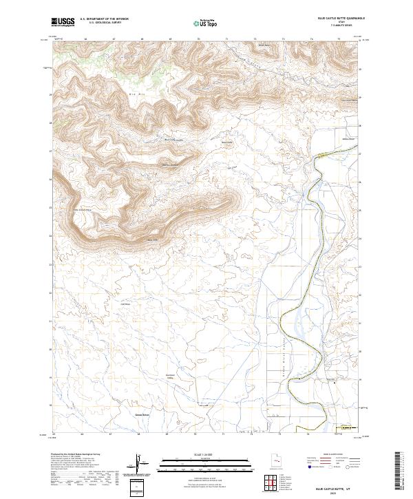 2023 Blue Castle Butte2023 Print · USGSEmery and Grand Counties met along the river during this recent survey of the Utah desert. Researchers can trace the legacy of the area at the Elgin Cem or follow the dramatic rise of the Book Cliffs and Blue Castle Butte.
 - 2023 Map of Green River NE, 2023 Print
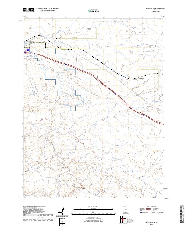 2023 Green River NE2023 Print · USGSThe high desert of eastern Utah is shown here in the 2020s, dominated by military testing infrastructure and the vast Gunnison Valley. Researchers can trace the boundaries of the Green River Test Complex Ut, follow Old Hwy 6 & 50, or locate the Crystal Geyser Trl.
 - 2023 Map of Green River, 2023 Print
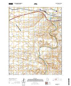
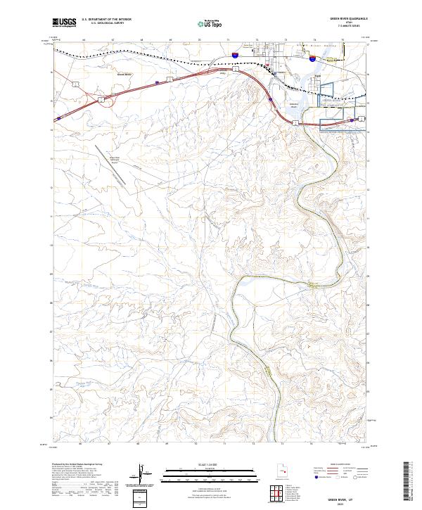 2023 Green River2023 Print · USGSThe desert town of Green River and the community of Elgin are captured here at the river crossing of Emery and Grand Counties. Researchers can trace local history at the Green River Pioneer Cem or locate the Cold War era Missile Base.
End of results
Showing maps 1-12 of 12
Top neighborhoods of Green River
Frequently asked questions
- What are the different types of historical maps available for Green River?
- What is the oldest map of Green River?
- Where can I purchase historical maps of Green River for my home or office?
- Where can I download high-res historical maps of Green River?
- Are there historical topographic maps available for Green River?
- Is there historical aerial imagery available for Green River?
- Where are historical maps of Green River sourced from?