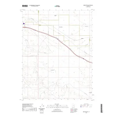
2020 Map of Green River NE
USGS Topo · Published 2020About this map
The Gunnison Valley and the northern reaches of the Mancos Desert W dominate this landscape northeast of Green River. The map documents a significant intersection of desert transit and Cold War history, notably marking the location of a Missile Base situated between Little Valley Rd and the Old Hwy 6 & 50 corridor. This area reflects a mid-century infrastructure layer superimposed over the natural drainages of the Solitude Wash and Salt Wash N. The settlement at Solitude sits near the Emery and Grand County line, highlighting how jurisdictional boundaries and early highway routes defined the sparse settlement patterns in this part of the Utah desert. Smaller features like Horse Canyon and the Little Grand Wash further illustrate the complex erosional topography of the region.
Find a feature on this map
12 named features on this map. Tap any name to fly to it.
Don’t see what you’re looking for? This feature index may not catch every label — zoom into the map to look around manually.
Map Details
Editions of this 2020 Green River NE Map
This is the sole edition of this map. No revisions or reprints were ever made.
Other maps of this area
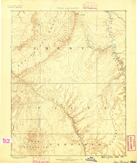
1885 · San Rafael
USGS Topo · 1:250,000
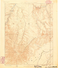
1885 · East Tavaputs
USGS Topo · 1:250,000
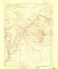
1885 · La Sal
USGS Topo · 1:250,000
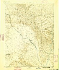
1886 · Price River
USGS Topo · 1:250,000
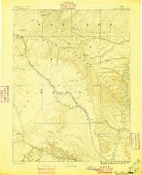
1896 · Price River
USGS Topo · 1:250,000
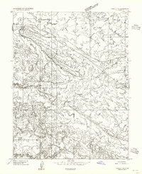
1954 · Tidwell 1 NE
USGS Topo · 1:24,000
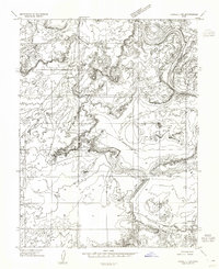
1954 · Tidwell 1 SW
USGS Topo · 1:24,000
1954 · Tidwell 1 NW
USGS Topo · 1:24,000
1954 · Tidwell 1 SE
USGS Topo · 1:24,000
1954 · Green River
USGS Topo · 1:62,500