Old Maps of Green River, Utah for Metal Detecting
Plan your next treasure hunt with 54 historic maps of Green River. Find old homesites, ghost towns, trails, and gathering spots that may be lost to time — perfect for identifying promising metal detecting locations.
- Locate forgotten sites: Uncover places like long-lost settlements, abandoned rail lines, or gathering spots.
- Plan better hunts: Use map overlays combined with LiDAR or satellite views to narrow in on historically rich areas.
- Made for detectorists: Thousands of hobbyists use these maps to discover relics, coins, and hidden history.
Use these historic maps to boost your research and find new opportunities beneath the surface of Green River.
Green River, UT maps
(54)- 1885 Map of San Rafael
 1885 San Rafael1885 Print · USGSCentral Utah at the height of the Powell Survey reveals a land defined by water and stone. Genealogists and historians can locate early settlements like Tidwell and Blake or trace the intricate river systems of Labyrinth Canyon and San Rafael Valley.5 unique versions available
 - 1886 Map of Price River
 1886 Price River1886 Print · USGSEmery County and the surrounding canyonlands are documented here just as the railroad arrived in the mid-1880s. Local researchers can trace the early path of the Denver and Rio Grande Western R. R. through Castle Gate, Price, and Sunny Side.4 unique versions available
 - 1896 Map of Price River
 1896 Price River1896 Print · USGSEmery County was transitioning into a vital rail corridor during the late nineteenth century. Trace the early layout of Price and Castle Dale alongside the winding Denver and Rio Grande Western RR and the depths of Desolation Canyon.
 - 1954 Map of Tidwell 1 NE, 1955 Print
 1954 Tidwell 1 NE1955 Print · USGSGrand County, Utah, is seen here during the mid-fifties as the railroad carved through the desert landscape. Genealogists and rail historians can trace the path of the Denver and Rio Grande Western between the sidings at Daly and Solitude.
 - 1954 Map of Tidwell 2 NE, 1955 Print
 1954 Tidwell 2 NE1955 Print · USGSEmery County in the mid-fifties is captured here as a landscape of desert water management and rail travel. Researchers can trace the desert hydrology of Ninemile Reservoir and Hatt Reservoir or locate the small settlement at Buckmaster.
 - 1954 Map of Tidwell 1 NW, 1955 Print
 1954 Tidwell 1 NW1955 Print · USGSThe Green River corridor in the mid-1950s was a landscape of remote rail depots and desert washes. Genealogists and historians can trace the early infrastructure of Green River and Elgin, along with landmarks like the Landing Strip and Oil Tank.
 - 1954 Map of Tidwell Bottoms, 1957 Print
 1954 Tidwell Bottoms1957 Print · USGSEmery County ranching and desert hydrology are documented in the mid-fifties, centered on the San Rafael River canyon. Researchers can trace remote desert outposts like Gillies Ranch, The Frenchmans, and various water features including Hatt Reservoir.3 unique versions available
 - 1954 Map of Green River, 1958 Print
 1954 Green River1958 Print · USGSIn the mid-1950s, the desert landscape around Green River, Utah, was a remote network of river-bound ranches and critical rail lines. Genealogists and historians can trace family-named outposts like Ruby Ranch and Chaffin Ranch or the geologic curiosity of the Crystal Geyser.5 unique versions available
 - 1956 Map of Salina
 1956 Salina1956 Print · USGSCentral Utah in the mid-fifties reveals a landscape of high plateaus and desert basins before the modern highway era. Researchers can trace the ranching and mining roots of Hanksville and Loa or locate the Lucky Strike Mine near the San Rafael Swell.5 unique versions available
 - 1956 Map of Price, 1968 Print
 1956 Price1968 Print · USGSCentral Utah in the mid-fifties showcases a landscape shaped by coal mining and mountain-fed irrigation. Trace the rail-and-river economy through the Geneva Coal Mine, the Union Pacific line, and settlements like Price and Ephraim.3 unique versions available
 - 1960 Map of Price
 1960 Price1960 Print · USGSCentral Utah in the late fifties was a landscape of coal-hauling railroads and high plateau settlements. Genealogists and local historians can trace the rail-to-river economy from Price to the mountain mining camps of Hiawatha, Dragerton, and Sunnyside.2 unique versions available
 - 1960 Map of Salina
 1960 Salina1960 Print · USGSThe high plateaus and canyonlands of south-central Utah appear in the early sixties as a region of remote ranching towns and developing parklands. Researchers can trace historic settlements like Fruita and Loa or locate the uranium mines and the tracks of the Denver and Rio Grande Western RR.2 unique versions available
 - 1962 Map of Salina
 1962 Salina1962 Print · USGSSevier County and the surrounding desert wilderness appear here in the early sixties as a network of isolated river valley towns and high-altitude forests. Researchers can locate remote landmarks like Fruita, trace the Denver & Rio Grande Western RR, and find backcountry sites like the Aquarius Ranger Station.
 - 1962 Map of Price
 1962 Price1962 Print · USGSCentral Utah during the early sixties shows a landscape balancing high-mountain forestry with valley agriculture and coal mining. Genealogists and historians can trace the Denver and Rio Grande Western rail lines through industrial hubs like Price or locate formerly active sites like Coal City (abandoned).
 - 1963 Map of Gunnison Butte, 1965 Print
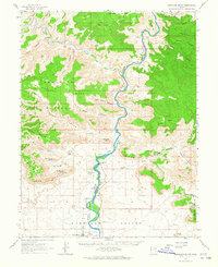 1963 Gunnison Butte1965 Print · USGSThe Green River Valley and the iconic Book Cliffs are documented here in the early sixties as the regional landscape supported ranching and transit. Researchers can trace the river's path past Gunnison Butte to find the Elgin Cem and the Diversion Dam Spillway.2 unique versions available
 - 1969 Map of Desert, 1973 Print
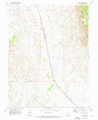 1969 Desert1973 Print · USGSEmery County is shown here in the late sixties, where the high desert landscape is dominated by the Denver and Rio Grande Western line. Trace the historical rail infrastructure at Desert and Sphinx or follow the path of the Old RR Grade near the Book Cliffs.
 - 1980 Map of Huntington, 1981 Print
 1980 Huntington1981 Print · USGSEmery and Carbon County landscapes are captured here during the early eighties, showcasing a region defined by high plateaus and mining towns. Researchers can trace the Denver and Rio Grande Western Railroad corridor and locate landmarks like the Cleveland-Lloyd Dinosaur Quarry and Hiawatha.
 - 1985 Map of San Rafael Desert
 1985 San Rafael Desert1985 Print · USGSEmery County was a landscape of deep canyons and uranium mining during the mid-eighties. Trace the remote trails through San Rafael Country to reach the Temple Mountain Mines, Mollys Castle, and the unique formations of Goblin Valley State Reserve.
 - 1986 Map of San Rafael Desert, 1987 Print
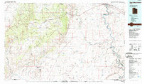 1986 San Rafael Desert1987 Print · USGSEmery County is captured in the mid-eighties during a unique era where high-desert ranching met Cold War aerospace testing. Researchers can trace the canyon systems of the Green River or locate remote landmarks like The Frenchmans and the Utah Launch Complex.2 unique versions available
 - 1988 Map of Green River
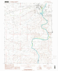 1988 Green River1988 Print · USGSThe Green River valley in the late 1980s reveals a unique intersection of military testing and desert geology. Researchers can locate the Utah Launch Complex and follow the river past the rare Crystal Geyser and Saleratus.2 unique versions available
 - 1988 Map of Jessies Twist
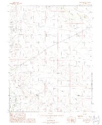 1988 Jessies Twist1988 Print · USGSEmery County during the late eighties reveals a desert landscape heavily shaped by mining and water reclamation. Genealogists and historians can trace the industrial footprint of Buckmaster or locate isolated water features like Hatt Res and Ninemile Reservoir.
 - 1988 Map of Green River NE
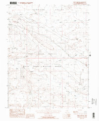 1988 Green River NE1988 Print · USGSGrand County, Utah, in the late eighties serves as a backdrop for high-tech defense and remote desert transit. Researchers can trace the D & R G W railroad near Solitude (Siding) and the grounds of the Utah Launch Complex.2 unique versions available
 - 1991 Map of Blue Castle Butte
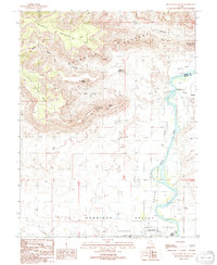 1991 Blue Castle Butte1991 Print · USGSThe Green River corridor at the turn of the 1990s reveals the intersection of irrigation infrastructure and desert geography. Local researchers can trace the historic Elgin Cemetery or examine water systems at Tusher Dam and the headgate.
 - 1991 Map of Tusher Canyon
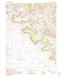 1991 Tusher Canyon1991 Print · USGSThe high desert canyons and the Green River corridor are mapped here as they appeared in the early 1990s. Local researchers can trace old ranching infrastructure like Water Tanks or locate landmarks such as Gunnison Butte and Swaseys Rapids.
 - 2010 Map of Green River, 2010 Print
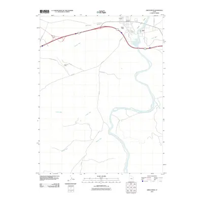 2010 Green River2010 Print · USGSGreen River and the settlement of Elgin are captured at the river's edge in 2010. Genealogists and local historians can trace landmarks like the Green River Cemetery, the Green River Post Office, and several desert routes including the Flint Trl.
Showing maps 1-25 of 54
Top neighborhoods of Green River
Frequently asked questions
- What are the different types of historical maps available for Green River?
- What is the oldest map of Green River?
- Where can I purchase historical maps of Green River for my home or office?
- Where can I download high-res historical maps of Green River?
- Are there historical topographic maps available for Green River?
- Is there historical aerial imagery available for Green River?
- Where are historical maps of Green River sourced from?