
1885 Map of San Rafael
USGS Topo · Published 1885About this map
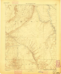
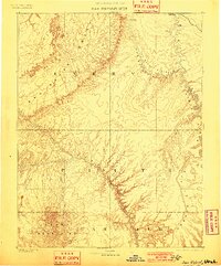
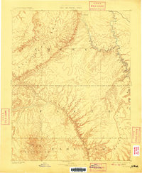
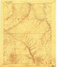
The San Rafael Swell dominates this 1885 landscape, a geological upheaval defined by the early work of the Powell Survey. This era of western exploration is captured through the winding courses of the San Rafael River and Fremont River, showing the region before the arrival of modern infrastructure. The map records the early outposts of Tidwell and Blake in the north, while the southern reaches are anchored by the high peaks of the Henry Mountains, including Mt Ellen. Along the eastern edge, the Green River carves its way through the intricate geography of Labyrinth Canyon and past the dramatic Orange Cliffs. The surveyor's work highlights the natural drainage patterns of Barrier Creek, Bowl Creek, and Lewis Creek, reflecting a moment when the topography of these Utah counties was first being systematically measured and named.
Find a feature on this map
17 named features on this map. Tap any name to fly to it.
Don’t see what you’re looking for? This feature index may not catch every label — zoom into the map to look around manually.
Map Details
Editions of this 1885 San Rafael Map
5 editions found
Other maps of this area

1885 · Manti
USGS Topo · 1:250,000

1885 · East Tavaputs
USGS Topo · 1:250,000

1885 · La Sal
USGS Topo · 1:250,000

1885 · Fish Lake
USGS Topo · 1:250,000

1886 · Escalante
USGS Topo · 1:250,000

1886 · Henry Mountains
USGS Topo · 1:250,000

1886 · Price River
USGS Topo · 1:250,000

1886 · Abajo
USGS Topo · 1:250,000

1892 · Abajo
USGS Topo · 1:250,000

1892 · Henry Mountains
USGS Topo · 1:250,000