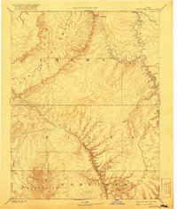
1885 Map of San Rafael
USGS Topo · Published 1921About this map
The San Rafael Swell dominates this late-nineteenth-century reconnaissance, revealing a topography defined by immense geological upheavals and river erosion. To the south, the massive profile of the Henry Mountains rises toward Mt. Ellen, marking the high point of the region. The landscape is carved by the Green River as it winds through Labyrinth Canon, joined by the San Rafael River which cuts through the San Rafael Valley.
Find a feature on this map
16 named features on this map. Tap any name to fly to it.
Don’t see what you’re looking for? This feature index may not catch every label — zoom into the map to look around manually.
Map Details
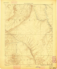
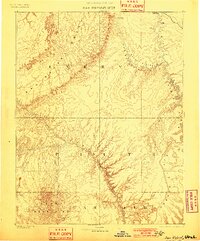
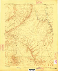
Editions of this 1885 San Rafael Map
5 editions found
Other maps of this area

1885 · San Rafael
USGS Topo · 1:250,000

1885 · Manti
USGS Topo · 1:250,000

1885 · East Tavaputs
USGS Topo · 1:250,000

1885 · La Sal
USGS Topo · 1:250,000

1885 · Fish Lake
USGS Topo · 1:250,000

1886 · Escalante
USGS Topo · 1:250,000

1886 · Henry Mountains
USGS Topo · 1:250,000

1886 · Price River
USGS Topo · 1:250,000

1886 · Abajo
USGS Topo · 1:250,000

1892 · Abajo
USGS Topo · 1:250,000