2010s Maps of Green River, Utah
Explore 18 historic maps of Green River from the 2010s. These maps offer a rare glimpse into what life looked like during the 2010s — showing old roads, neighborhoods, homes, and landmarks that have changed or disappeared over time.
Whether you're researching your family's past, planning a metal detecting trip, or studying how Green River's landscape evolved across the 2010s, these high-resolution maps are a powerful tool for exploring the history of this region.
- Focus on a specific era: All maps on this page are from the 2010s, giving you a focused view of this time period.
- See what’s changed: Compare century-old streets, trails, and buildings to today's modern landscape using overlays and satellite layers.
- Research with precision: Use these maps for genealogy, historical research, land use analysis, or educational projects.
- View, download, or print: Maps are fully viewable online in high resolution, and can be downloaded or printed for your own records.
Start exploring Green River's history through authentic maps from the 2010s. This is your window into the past.
Green River, UT maps
(18)- 2010 Map of Green River, 2010 Print
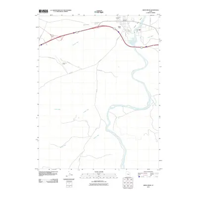 2010 Green River2010 Print · USGSGreen River and the settlement of Elgin are captured at the river's edge in 2010. Genealogists and local historians can trace landmarks like the Green River Cemetery, the Green River Post Office, and several desert routes including the Flint Trl.
 - 2010 Map of Green River NE, 2010 Print
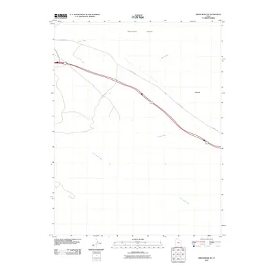 2010 Green River NE2010 Print · USGSThe Gunnison Valley in the early twenty-first century remains a stark landscape defined by the historic railroad corridor and old thoroughfares. Researchers can trace the path of Old Hwy Elgin past the settlement of Solitude and across the desert drainages of Little Grand Wash.
 - 2011 Map of Jessies Twist, 2011 Print
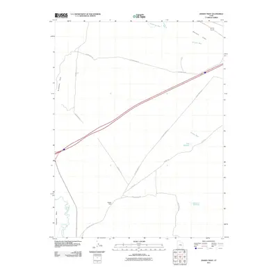 2011 Jessies Twist2011 Print · USGSEmery County’s arid landscape and water management systems are captured here in the early twenty-first century. Trace the historical routes of Old Hwy Hanksville and local industry access via 4 Corners Mine Rd near the unique Jessies Twist.
 - 2011 Map of Desert, 2011 Print
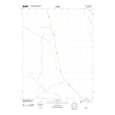 2011 Desert2011 Print · USGSEmery County is shown here in the early twenty-first century, centered on the transit corridor through the arid flats. Trace the path of 6 191 past the settlement at Desert or explore the rugged eastern edge along the Book Cliffs and Blue Castle Canyon.
 - 2011 Map of Tusher Canyon, 2011 Print
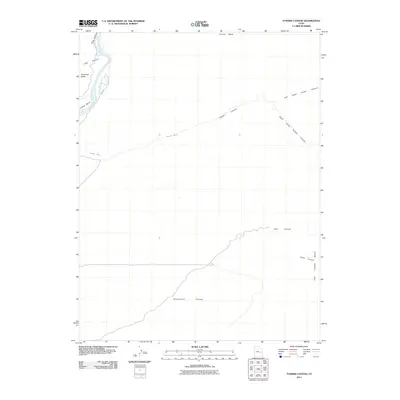 2011 Tusher Canyon2011 Print · USGSThe high desert canyons and the winding Green River corridor are captured here during the early twenty-first century. Researchers can trace the rugged drainage of Tusher Canyon, the heights of Gunnison Butte, and the shoreline of Willow Bend.
 - 2011 Map of Blue Castle Butte, 2011 Print
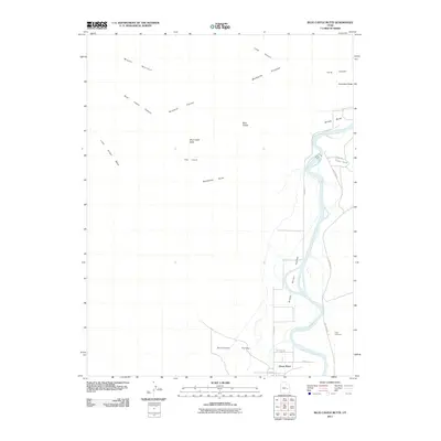 2011 Blue Castle Butte2011 Print · USGSThe Green River corridor in the early twenty-first century reveals a striking landscape of high-desert plateaus and riverfront history. Researchers can trace the layout of Green River, locate the Elgin Cemetery, and identify landmarks like Battleship Butte.
 - 2014 Map of Blue Castle Butte, 2014 Print
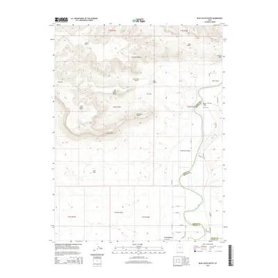 2014 Blue Castle Butte2014 Print · USGSThe Green River corridor in eastern Utah is captured here in the early twenty-first century as it winds through the desert. Trace local history through the settlement of Green River, the Elgin community, and local landmarks like Blue Castle Butte.
 - 2014 Map of Desert, 2014 Print
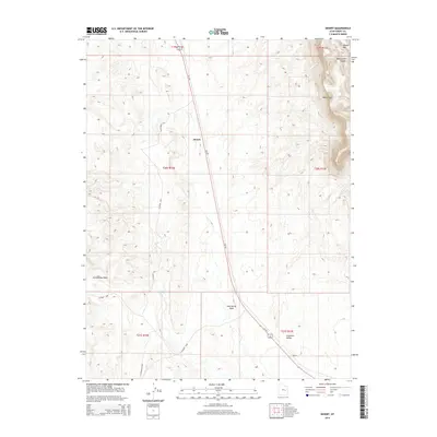 2014 Desert2014 Print · USGSIn the arid landscape of Emery County during the early 2010s, this survey captures the intersection of desert plains and mountain cliffs. Researchers can trace the path of US-191 past Desert or locate remote points like Trail Spring and Sphinx.
 - 2014 Map of Tusher Canyon, 2014 Print
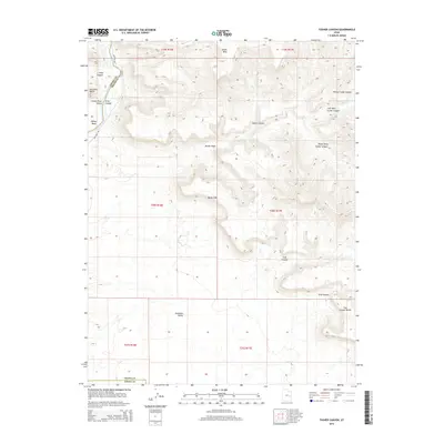 2014 Tusher Canyon2014 Print · USGSThe Green River corridor near the Emery and Grand County line is captured here in the early twenty-first century. Researchers can trace the path of Hastings Rd past Gunnison Butte and explore the remote reaches of Tusher Canyon and the Book Cliffs.
 - 2014 Map of Green River NE, 2014 Print
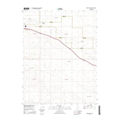 2014 Green River NE2014 Print · USGSThe high-desert terrain of eastern Utah is documented here during the early twenty-first century, spanning the border of Emery and Grand counties. Researchers can trace the path of Old US 50, locate the distinct Crystal Geyser, and explore the geography around Solitude.
 - 2014 Map of Jessies Twist, 2014 Print
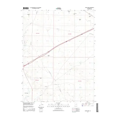 2014 Jessies Twist2014 Print · USGSEmery County's high-desert terrain is captured here in the early twenty-first century, showing the intersection of vital water resources and historic transit routes. You can trace the path of Old Highway Hanksville and locate remote landmarks like Jessies Twist and Buckmaster Reservoir.
 - 2014 Map of Green River, 2014 Print
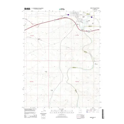 2014 Green River2014 Print · USGSThe high desert corridor of eastern Utah is shown here in the 2010s, focused on the riverside town of Green River. Researchers can trace the local landscape from the Green River Cem and Elgin down to the unique Crystal Geyser along the riverbanks.
 - 2017 Map of Desert, 2017 Print
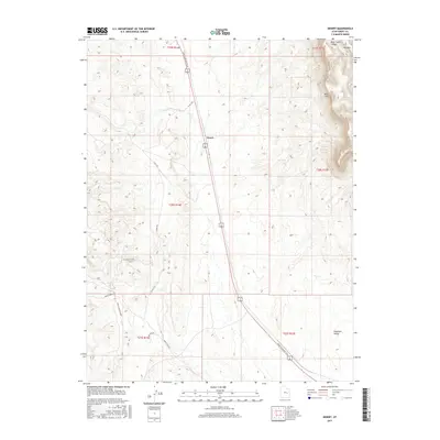 2017 Desert2017 Print · USGSEmery County's arid landscape is captured here in the late twenty-teens, centered on the settlement of Desert. Researchers can trace old transportation corridors like the Moab to Boulder Town route and the Smith Camp RR Grade near Blue Castle Canyon.
 - 2017 Map of Tusher Canyon, 2017 Print
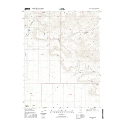 2017 Tusher Canyon2017 Print · USGSThe high desert canyons and river bends of eastern Utah appear in sharp relief on the eve of the late twenty-first century. Researchers can trace the path of the Green River past Gunnison Butte or explore the drainage systems of Tusher Canyon.
 - 2017 Map of Green River NE, 2017 Print
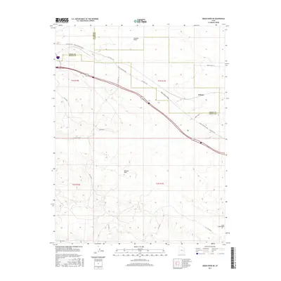 2017 Green River NE2017 Print · USGSThe Emery and Grand County line meets in the high desert near the settlement of Solitude during the mid-2010s. Modern researchers can trace the historic route from Moab to Boulder Town alongside the Missile Base and the seasonal Solitude Wash.
 - 2017 Map of Blue Castle Butte, 2017 Print
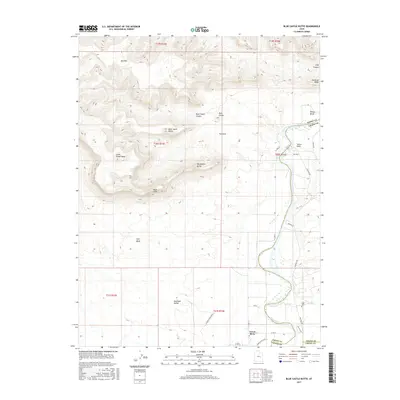 2017 Blue Castle Butte2017 Print · USGSThe desert landscape near the Emery and Grand County border is shown in detail during the early 21st century. Researchers can trace the path of the Green River and locate local landmarks such as Elgin Cem, Hastings, and the prominent Blue Castle Butte.
 - 2017 Map of Green River, 2017 Print
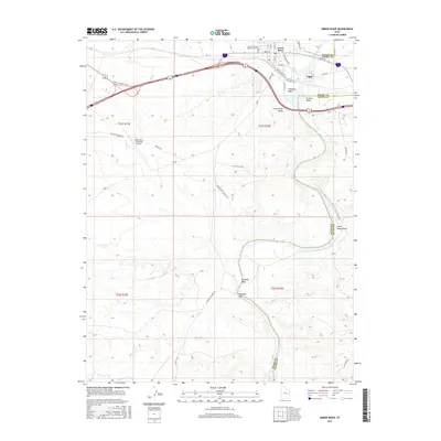 2017 Green River2017 Print · USGSThe Green River corridor in Emery and Grand Counties comes alive in this modern survey of its desert valleys and riverbanks. Genealogists and historians can trace the Green River Pioneer Cem, the community of Elgin, and the path to Crystal Geyser.
 - 2017 Map of Jessies Twist, 2017 Print
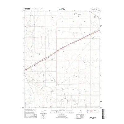 2017 Jessies Twist2017 Print · USGSEmery County's desert landscape is shown here in the 2010s, where the intersection of water management and mining history is etched into the terrain. Researchers can trace the routes of Old Hwy Hanksville and locate industrial sites like the W Ninemile/Acerson Mine and Ninemile Reservoir.
End of results
Showing maps 1-18 of 18
Top neighborhoods of Green River
Frequently asked questions
- What are the different types of historical maps available for Green River?
- What is the oldest map of Green River?
- Where can I purchase historical maps of Green River for my home or office?
- Where can I download high-res historical maps of Green River?
- Are there historical topographic maps available for Green River?
- Is there historical aerial imagery available for Green River?
- Where are historical maps of Green River sourced from?