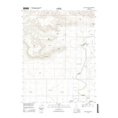
2014 Map of Blue Castle Butte
USGS Topo · Published 2014About this map
Green River flows through the heart of this high-desert landscape, defining the transition from the Green River Valley to the dramatic elevations of the Book Cliffs. In this arid reach of eastern Utah, the settlement of Green River and the nearby community of Elgin serve as vital hubs where irrigation and transportation meet the river. The topography is dominated by massive geological formations, including the Beckwith Plateau and the namesake Blue Castle Butte. Researchers can trace the winding course of the river past Willow Bend and follow the northern drainage of Blue Castle Canyon. The map reveals a network of local roads such as Hastings Rd and N Long St that navigate the flatlands between prominent landmarks like Battleship Butte and Gunnison Butte, highlighting the persistent challenge of traversing this high-relief environment.
Find a feature on this map
41 named features on this map. Tap any name to fly to it.
Don’t see what you’re looking for? This feature index may not catch every label — zoom into the map to look around manually.
Map Details
Editions of this 2014 Blue Castle Butte Map
This is the sole edition of this map. No revisions or reprints were ever made.
Other maps of this area

1885 · San Rafael
USGS Topo · 1:250,000

1886 · Price River
USGS Topo · 1:250,000

1896 · Price River
USGS Topo · 1:250,000

1954 · Tidwell 1 NE
USGS Topo · 1:24,000

1954 · Tidwell 2 NE
USGS Topo · 1:24,000

1954 · Tidwell 1 NW
USGS Topo · 1:24,000

1954 · Tidwell Bottoms
USGS Topo · 1:62,500

1954 · Green River
USGS Topo · 1:62,500

1956 · Salina
USGS Topo · 1:250,000

1956 · Price
USGS Topo · 1:250,000