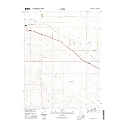
2017 Map of Green River NE
USGS Topo · Published 2017About this map
The Gunnison Valley and the expansive Mancos Desert W dominate this landscape on the border of Emery and Grand Counties. The map documents a critical transportation corridor through the high desert, centered on the settlement of Solitude. This route is traced by the historic path from Moab to Boulder Town and the alignment of Old Hwy 6 & 50, illustrating how topography has dictated travel in this arid region for generations.
Find a feature on this map
16 named features on this map. Tap any name to fly to it.
Don’t see what you’re looking for? This feature index may not catch every label — zoom into the map to look around manually.
Map Details
Editions of this 2017 Green River NE Map
This is the sole edition of this map. No revisions or reprints were ever made.
Other maps of this area
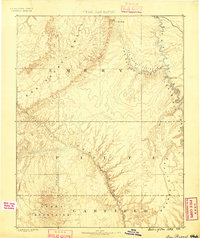
1885 · San Rafael
USGS Topo · 1:250,000
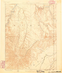
1885 · East Tavaputs
USGS Topo · 1:250,000
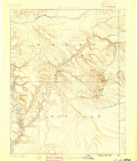
1885 · La Sal
USGS Topo · 1:250,000
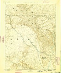
1886 · Price River
USGS Topo · 1:250,000
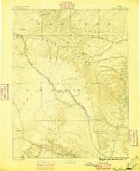
1896 · Price River
USGS Topo · 1:250,000
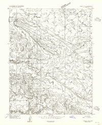
1954 · Tidwell 1 NE
USGS Topo · 1:24,000
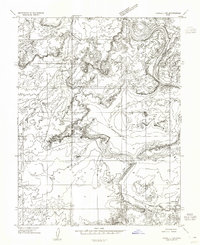
1954 · Tidwell 1 SW
USGS Topo · 1:24,000
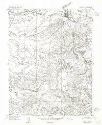
1954 · Tidwell 1 NW
USGS Topo · 1:24,000
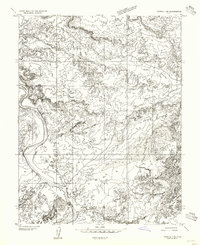
1954 · Tidwell 1 SE
USGS Topo · 1:24,000
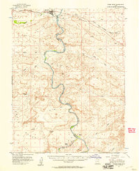
1954 · Green River
USGS Topo · 1:62,500