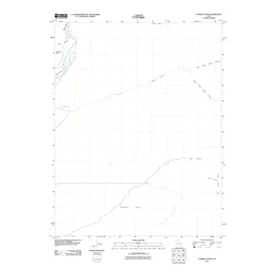
2011 Map of Tusher Canyon
USGS Topo · Published 2011About this map
The Green River carves through a landscape of deep canyons and massive uplifted plateaus, flowing south past Gray Canyon and around the distinct curve of Willow Bend. This 2011 survey illustrates the dramatic geological transition from the towering walls of Gunnison Butte into the broader expanse of the Gunnison Valley. The eastern half of the quadrangle is defined by a complex network of dry drainage systems, including the split paths of Left Hand Tusher Canyon and Right Hand Tusher Canyon. These canyons, along with Coal Canyon and its associated Coal Canyon Bench, reveal the topographical character of the high desert before it meets the river valley. Sparse infrastructure like Beach Rd provides the only named access into this environment, which is dominated by landforms such as Suluar Mesa and Long Canyon.
Find a feature on this map
15 named features on this map. Tap any name to fly to it.
Don’t see what you’re looking for? This feature index may not catch every label — zoom into the map to look around manually.
Map Details
Editions of this 2011 Tusher Canyon Map
This is the sole edition of this map. No revisions or reprints were ever made.
Other maps of this area
1885 · San Rafael
USGS Topo · 1:250,000
1885 · East Tavaputs
USGS Topo · 1:250,000
1885 · La Sal
USGS Topo · 1:250,000
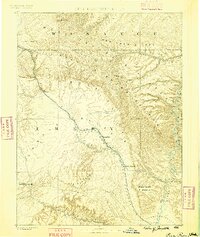
1886 · Price River
USGS Topo · 1:250,000
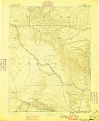
1896 · Price River
USGS Topo · 1:250,000
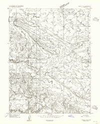
1954 · Tidwell 1 NE
USGS Topo · 1:24,000
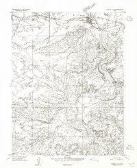
1954 · Tidwell 1 NW
USGS Topo · 1:24,000
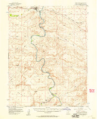
1954 · Green River
USGS Topo · 1:62,500
1956 · Salina
USGS Topo · 1:250,000
1956 · Price
USGS Topo · 1:250,000