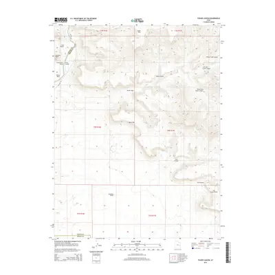
2014 Map of Tusher Canyon
USGS Topo · Published 2014About this map
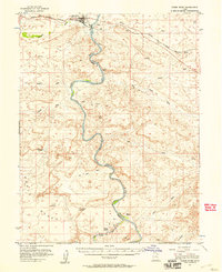
Green River flows through the western edge of this landscape, carving through Gray Canyon and sweeping around Willow Bend before opening into the Green River Valley. The terrain is dominated by the dramatic rise of the Book Cliffs, which separate the lower Gunnison Valley from the elevated plateau to the north. A complex network of drainages including Tusher Wash and the branching arms of Tusher Canyon define the area's geology. Evidence of human passage is marked by Hastings Rd, which follows the river's path beneath the prominent Gunnison Butte. To the east, the landscape ascends toward Suluar Mesa and the high Coal Canyon Bench, showing the intricate erosion patterns characteristic of the Emery and Grand County borderlands.
Find a feature on this map
26 named features on this map. Tap any name to fly to it.
Don’t see what you’re looking for? This feature index may not catch every label — zoom into the map to look around manually.
Map Details
Editions of this 2014 Tusher Canyon Map
This is the sole edition of this map. No revisions or reprints were ever made.
Other maps of this area
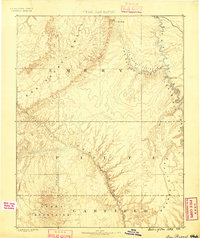
1885 · San Rafael
USGS Topo · 1:250,000
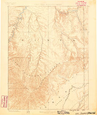
1885 · East Tavaputs
USGS Topo · 1:250,000
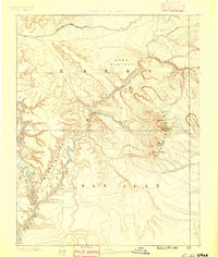
1885 · La Sal
USGS Topo · 1:250,000
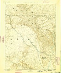
1886 · Price River
USGS Topo · 1:250,000
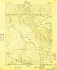
1896 · Price River
USGS Topo · 1:250,000
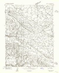
1954 · Tidwell 1 NE
USGS Topo · 1:24,000
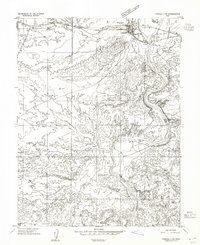
1954 · Tidwell 1 NW
USGS Topo · 1:24,000
1954 · Green River
USGS Topo · 1:62,500
1956 · Salina
USGS Topo · 1:250,000
1956 · Price
USGS Topo · 1:250,000