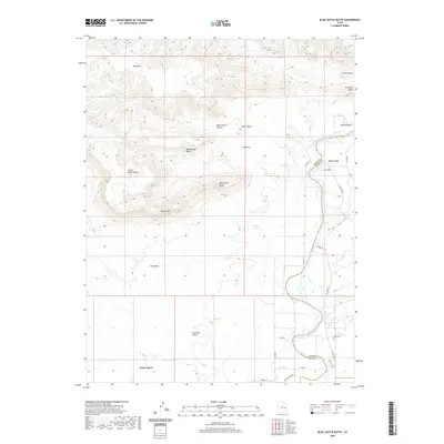
2020 Map of Blue Castle Butte
USGS Topo · Published 2020About this map
Green River flows through this stark landscape, marking the boundary between Emery and Grand counties. The terrain is defined by a series of dramatic geological formations, including the sprawling Book Cliffs and prominent landmarks like Blue Castle Butte, Gunnison Butte, and Battleship Butte. These elevations provide a vertical counterpoint to the broad Gunnison Valley and the flat expanse of Calf Mesa.
Find a feature on this map
29 named features on this map. Tap any name to fly to it.
Don’t see what you’re looking for? This feature index may not catch every label — zoom into the map to look around manually.
Map Details
Editions of this 2020 Blue Castle Butte Map
This is the sole edition of this map. No revisions or reprints were ever made.
Other maps of this area

1885 · San Rafael
USGS Topo · 1:250,000

1886 · Price River
USGS Topo · 1:250,000

1896 · Price River
USGS Topo · 1:250,000

1954 · Tidwell 1 NE
USGS Topo · 1:24,000

1954 · Tidwell 2 NE
USGS Topo · 1:24,000

1954 · Tidwell 1 NW
USGS Topo · 1:24,000

1954 · Tidwell Bottoms
USGS Topo · 1:62,500

1954 · Green River
USGS Topo · 1:62,500

1956 · Salina
USGS Topo · 1:250,000

1956 · Price
USGS Topo · 1:250,000