2000s (21st Century) Maps of Bryce Canyon City, Utah
Explore 6 historic maps of Bryce Canyon City from the 2000s (21st Century). These maps offer a rare glimpse into what life looked like during the 2000s — showing old roads, neighborhoods, homes, and landmarks that have changed or disappeared over time.
Whether you're researching your family's past, planning a metal detecting trip, or studying how Bryce Canyon City's landscape evolved across the 2000s, these high-resolution maps are a powerful tool for exploring the history of this region.
- Focus on a specific era: All maps on this page are from the 2000s, giving you a focused view of this time period.
- See what’s changed: Compare century-old streets, trails, and buildings to today's modern landscape using overlays and satellite layers.
- Research with precision: Use these maps for genealogy, historical research, land use analysis, or educational projects.
- View, download, or print: Maps are fully viewable online in high resolution, and can be downloaded or printed for your own records.
Start exploring Bryce Canyon City's history through authentic maps from the 2000s. This is your window into the past.
Bryce Canyon City, UT maps
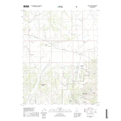
(6)- 2002 Map of Bryce Canyon, 2005 Print
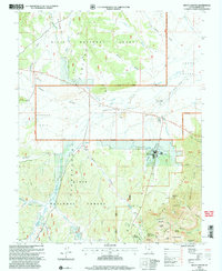 2002 Bryce Canyon2005 Print · USGSThe high plateau country of Southern Utah is captured here at the start of the new millennium, showing the established gateway to the park. Trace historical tourism and infrastructure through Rubys Inn, the Bryce Canyon Airport, and landmark formations like the Mormon Temple.
 - 2011 Map of Bryce Canyon, 2011 Print
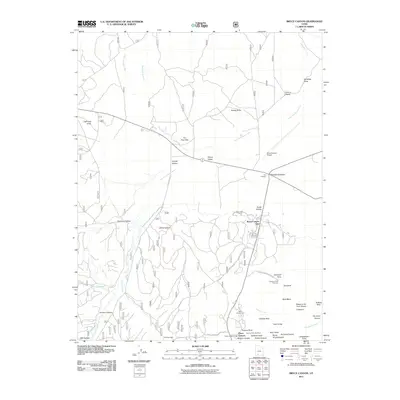 2011 Bryce Canyon2011 Print · USGSCovers Bryce Canyon City, including Garfield County, United States, and other nearby areas
 - 2014 Map of Bryce Canyon, 2014 Print
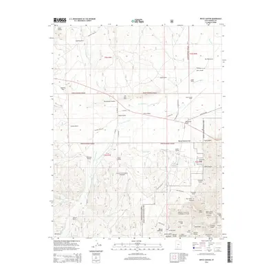 2014 Bryce Canyon2014 Print · USGSCovers Bryce Canyon City, including Garfield County, United States, and other nearby areas
 - 2017 Map of Bryce Canyon, 2017 Print
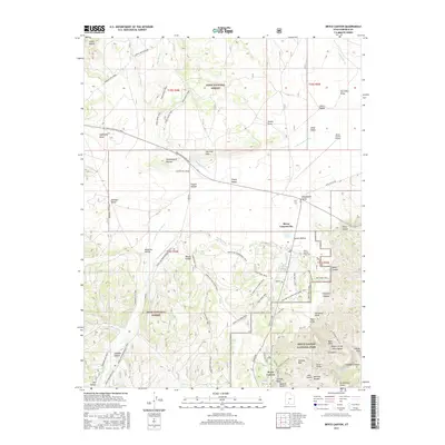 2017 Bryce Canyon2017 Print · USGSCovers Bryce Canyon City, including Garfield County, United States, and other nearby areas
 - 2020 Map of Bryce Canyon, 2020 Print
 2020 Bryce Canyon2020 Print · USGSCovers Bryce Canyon City, including Garfield County, United States, and other nearby areas
 - 2023 Map of Bryce Canyon, 2023 Print
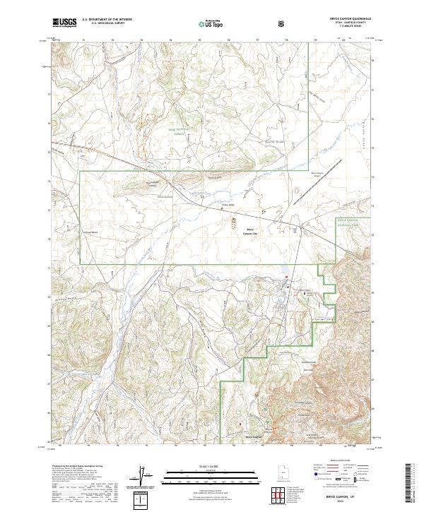 2023 Bryce Canyon2023 Print · USGSGarfield County’s high-plateau gateway appears here in the contemporary era, showing the transition from forest lands to the famous hoodoos. Researchers can trace the layout of Bryce Canyon City, the location of the Bryce Canyon City Cem, and landmarks like Sunrise Point.
End of results
Showing maps 1-6 of 6
Top cities near Bryce Canyon City
Frequently asked questions
- What are the different types of historical maps available for Bryce Canyon City?
- What is the oldest map of Bryce Canyon City?
- Where can I purchase historical maps of Bryce Canyon City for my home or office?
- Where can I download high-res historical maps of Bryce Canyon City?
- Are there historical topographic maps available for Bryce Canyon City?
- Is there historical aerial imagery available for Bryce Canyon City?
- Where are historical maps of Bryce Canyon City sourced from?