Old Maps of Escalante, Utah for Hiking & Exploration
Hike through history with 17 historic maps of Escalante. Explore old trails, ghost towns, and forgotten backroads — perfect for outdoor adventurers and local explorers.
- Rediscover forgotten places: Map out old mining camps, roads, and footpaths that no longer exist on modern maps.
- Layer with modern tools: Combine with LiDAR or satellite views to plan hikes through historical terrain.
- Made for exploration: Popular among hikers, overlanders, and local history lovers.
Use these maps to find adventure and explore the hidden past of Escalante.
Escalante, UT maps
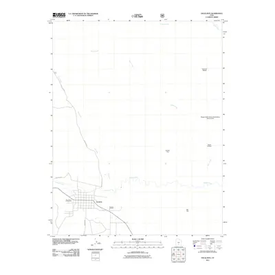
(17)- 1886 Map of Escalante
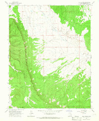
 1886 Escalante1886 Print · USGSSouthern Utah in the late 1880s was a landscape of formidable geological barriers and isolated river crossings. Modern researchers can trace the early layout of Escalante and identify historic points like The Crossing of the Fathers and Potato Valley.5 unique versions available
 - 1956 Map of Escalante
 1956 Escalante1956 Print · USGSSouthern Utah and Northern Arizona are charted here in the mid-fifties, just before the canyon floor was transformed. Researchers can trace remote desert commerce at Oljeto Trading Post, find the Adairville (ruins), and locate Uranium mines.5 unique versions available
 - 1960 Map of Escalante
 1960 Escalante1960 Print · USGSSouthern Utah and northern Arizona appear at a historic turning point in the late fifties as Lake Powell begins to reshape the canyons. Researchers can trace remote sites like Goulding Trading Post, a lonely Uranium Mine, and Coyote Ranches before the reservoir's rise.
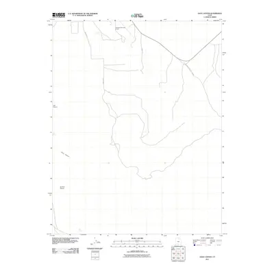
 - 1964 Map of Dave Canyon, 1966 Print
 1964 Dave Canyon1966 Print · USGSGarfield County's high plateau country is captured here in the mid-sixties, dominated by the massive verticality of the Straight Cliffs. Researchers can trace remote water sources like Oak Spring and the rugged path of a lone Jeep Trail winding through Alvey Wash.
 - 1964 Map of Escalante, 1983 Print
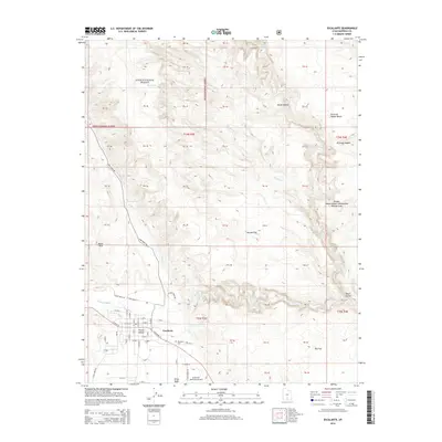
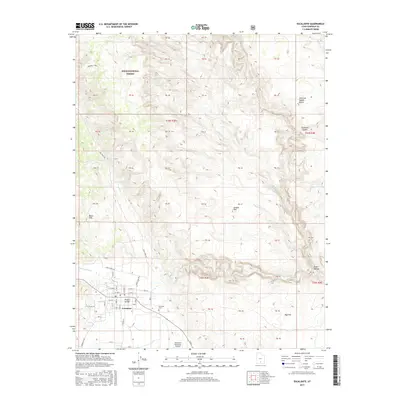
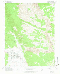 1964 Escalante1983 Print · USGSEscalante was a remote high-desert outpost in the mid-sixties, serving as the gateway between the forested plateaus and the deep canyons of the Colorado River drainage. Genealogists and historians can locate the local cemetery, the High School, and a desert LANDING STRIP south of the Escalante River.2 unique versions available
 - 1980 Map of Escalante, 1988 Print
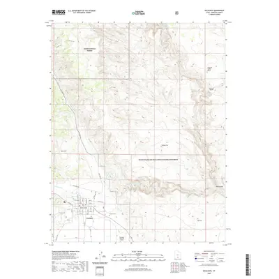
 1980 Escalante1988 Print · USGSThe high desert and canyonlands of southern Utah are shown here in the 1980s, centered on the settlement of Escalante. Researchers can trace the ranching and resource history of Johns Valley or the early boundaries of Capitol Reef National Park.3 unique versions available
 - 2002 Map of Escalante, 2005 Print
 2002 Escalante2005 Print · USGSEscalante and the surrounding plateaus are captured here at the turn of the century as the town solidified its role as a regional hub. Researchers can trace the town’s development near the Escalante River, find the local High Sch, and locate the Escalante Municipal Airport.
 - 2011 Map of Escalante, 2011 Print
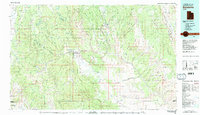
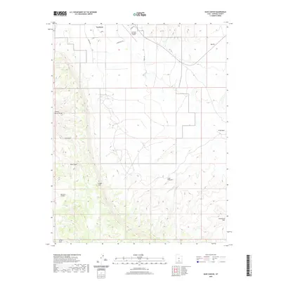
 2011 Escalante2011 Print · USGSCovers Escalante, including Garfield County, United States, and other nearby areas
 - 2011 Map of Dave Canyon, 2011 Print
 2011 Dave Canyon2011 Print · USGSCovers Escalante, including Garfield County, United States, and other nearby areas
 - 2014 Map of Escalante, 2014 Print
 2014 Escalante2014 Print · USGSCovers Escalante, including Garfield County, United States, and other nearby areas
 - 2014 Map of Dave Canyon, 2014 Print
 2014 Dave Canyon2014 Print · USGSCovers Escalante, including Garfield County, United States, and other nearby areas
 - 2017 Map of Dave Canyon, 2017 Print
 2017 Dave Canyon2017 Print · USGSCovers Escalante, including Garfield County, United States, and other nearby areas
 - 2017 Map of Escalante, 2017 Print
 2017 Escalante2017 Print · USGSCovers Escalante, including Garfield County, United States, and other nearby areas
 - 2020 Map of Dave Canyon, 2020 Print
 2020 Dave Canyon2020 Print · USGSCovers Escalante, including Garfield County, United States, and other nearby areas
 - 2020 Map of Escalante, 2020 Print
 2020 Escalante2020 Print · USGSCovers Escalante, including Garfield County, United States, and other nearby areas
 - 2023 Map of Dave Canyon, 2023 Print
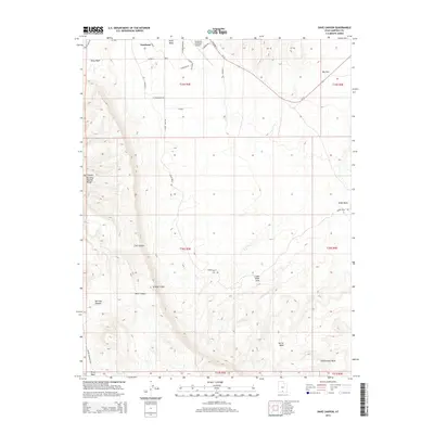
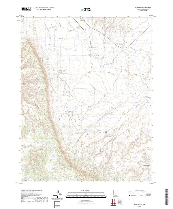 2023 Dave Canyon2023 Print · USGSGarfield County's high desert terrain is captured here in the early twenty-first century, revealing a landscape defined by dramatic geological breaks and remote ranch roads. Researchers can locate distinct landmarks like Serenity Natural Bridge, Cedar Wash Arch, and the aviation hub at Escalante Municipal Airport.
 - 2023 Map of Escalante, 2023 Print
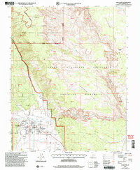
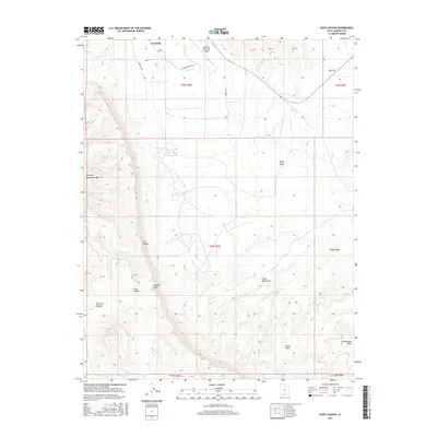
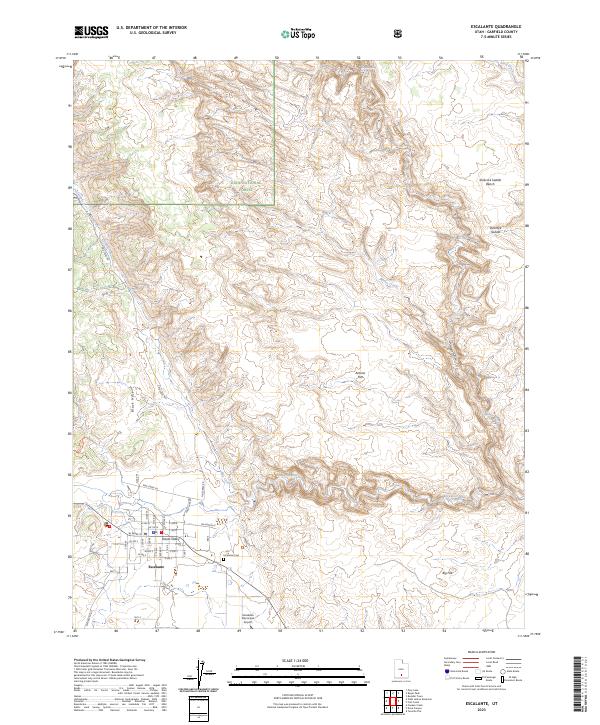 2023 Escalante2023 Print · USGSIn the canyon country of Garfield County, the town of Escalante sits at the threshold of the wilderness. Trace the local grid from Potato Valley to the Escalante Cem or follow the Escalante River as it carves through the Dixie National Forest.
End of results
Showing maps 1-17 of 17
Frequently asked questions
- What are the different types of historical maps available for Escalante?
- What is the oldest map of Escalante?
- Where can I purchase historical maps of Escalante for my home or office?
- Where can I download high-res historical maps of Escalante?
- Are there historical topographic maps available for Escalante?
- Is there historical aerial imagery available for Escalante?
- Where are historical maps of Escalante sourced from?