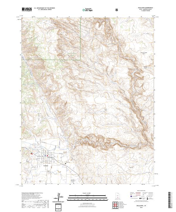
2023 Map of Escalante
USGS Topo · Published 2023About this map
Escalante serves as a critical gateway to the surrounding canyon country, situated at the junction of the Escalante River and its varied tributaries. The town is laid out in a traditional grid pattern, featuring historical roots visible in the Potato Valley and the Escalante Cem on the eastern edge of the settlement. The landscape transitions quickly from the town's cultivated valley into the expansive Box-Death Hollow Wilderness and the Dixie National Forest to the north, where the terrain is defined by deep drainages like Death Hollow and Mamie Creek. Transport into the high country is marked by routes such as Pine Creek Rd and the Roundy Trl, while the Escalante Municipal Airport provides a modern link to this isolated interior. Distinctive landforms like the Slickrock Saddle and Antone Flat illustrate the exposed geology typical of this part of Garfield County.
Find a feature on this map
44 named features on this map. Tap any name to fly to it.
Don’t see what you’re looking for? This feature index may not catch every label — zoom into the map to look around manually.
Map Details
Editions of this 2023 Escalante Map
This is the sole edition of this map. No revisions or reprints were ever made.
Other maps of this area

1886 · Escalante
USGS Topo · 1:250,000

1956 · Escalante
USGS Topo · 1:250,000

1960 · Escalante
USGS Topo · 1:250,000

1964 · Tenmile Flat
USGS Topo · 1:24,000

1964 · Dave Canyon
USGS Topo · 1:24,000
1964 · Calf Creek
USGS Topo · 1:24,000

1964 · Canaan Creek
USGS Topo · 1:24,000
1964 · Wide Hollow Reservoir
USGS Topo · 1:24,000
1964 · Roger Peak
USGS Topo · 1:24,000
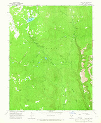
1964 · Posy Lake
USGS Topo · 1:24,000