
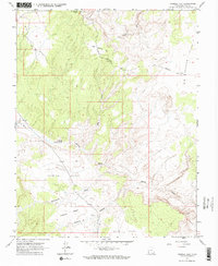
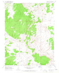
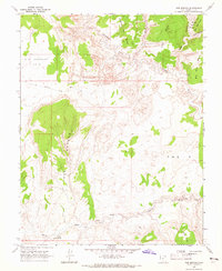
1964 Map of Tenmile Flat
USGS Topo · Published 1965About this map
Tenmile Flat and the surrounding plateau regions of Garfield County are defined by a complex drainage network that includes Harris Wash, Phipps Wash, and Cottonwood Wash. In the mid-1960s, this landscape was navigated via the Sheffield Road and the Old Sheffield Road, which provided access to high-altitude features like Little Spencer Flat and Big Spencer Flats. Human presence is marked by isolated Corrals, a Borrow Pit, and a Radio Facility, suggesting a landscape used primarily for livestock grazing and utility infrastructure. Notable geological features like Deadman Ridge and Halfway Hollow partition the terrain, while reliable water sources such as Tenmile Spring served as critical landmarks for those traversing the high desert flats.
Find a feature on this map
18 named features on this map. Tap any name to fly to it.
Don’t see what you’re looking for? This feature index may not catch every label — zoom into the map to look around manually.
Map Details
Editions of this 1964 Tenmile Flat Map
3 editions found
Other maps of this area

1886 · Escalante
USGS Topo · 1:250,000

1956 · Escalante
USGS Topo · 1:250,000

1960 · Escalante
USGS Topo · 1:250,000

1964 · Sunset Flat
USGS Topo · 1:24,000
1964 · King Bench
USGS Topo · 1:24,000

1964 · Dave Canyon
USGS Topo · 1:24,000
1964 · Calf Creek
USGS Topo · 1:24,000

1964 · Seep Flat
USGS Topo · 1:24,000

1964 · Carcass Canyon
USGS Topo · 1:24,000
1964 · Red Breaks
USGS Topo · 1:24,000