
1964 Map of Sunset Flat
USGS Topo · Published 1965About this map
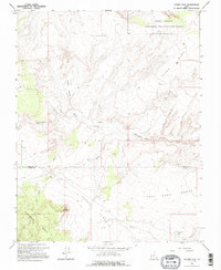
Sunset Flat and the surrounding high desert plateaus of Garfield County are defined by a network of drainage washes and expansive benches as they appeared in the mid-1960s. The landscape is marked by a remote pastoral infrastructure, including the Twentymile Mile Corral and the named locality of Harris. These features, along with several primitive Jeep Trails, suggest a region primarily used for seasonal livestock grazing and resource exploration during this era.
Find a feature on this map
15 named features on this map. Tap any name to fly to it.
Don’t see what you’re looking for? This feature index may not catch every label — zoom into the map to look around manually.
Map Details
Editions of this 1964 Sunset Flat Map
2 editions found
Other maps of this area

1886 · Escalante
USGS Topo · 1:250,000

1922 · Rees Canyon
USGS Topo · 1:63,360

1953 · Circle Cliffs 4 NW
USGS Topo · 1:24,000

1953 · Circle Cliffs 4 SW
USGS Topo · 1:24,000

1953 · Moody Creek
USGS Topo · 1:62,500

1956 · Escalante
USGS Topo · 1:250,000

1960 · Escalante
USGS Topo · 1:250,000

1964 · Tenmile Flat
USGS Topo · 1:24,000

1964 · Seep Flat
USGS Topo · 1:24,000
1964 · Red Breaks
USGS Topo · 1:24,000