
1953 Map of Circle Cliffs 4 SW
USGS Topo · Published 1954About this map
The Escalante River carves through a landscape of dramatic uplift and erosion along the boundary of Garfield and Kane Counties. This 1953 survey, mapped just before the completion of the regional 15-minute series, documents a remote section of the Colorado Plateau defined by expansive plateaus such as Baker Bench and Scorpion Flat. The topographic detail reveals the intricate drainage patterns of Twentyfive Mile Wash and the flat-topped mesas of Early Weed Bench and Rock Bench. These features illustrate the geomorphology of the area's high desert benches, which have long dictated the movement of people and livestock through these isolated corridors of southern Utah.
Find a feature on this map
7 named features on this map. Tap any name to fly to it.
Don’t see what you’re looking for? This feature index may not catch every label — zoom into the map to look around manually.
Map Details
Editions of this 1953 Circle Cliffs 4 SW Map
This is the sole edition of this map. No revisions or reprints were ever made.
Other maps of this area

1886 · Escalante
USGS Topo · 1:250,000

1922 · Rees Canyon
USGS Topo · 1:63,360

1953 · Circle Cliffs 4 NW
USGS Topo · 1:24,000

1953 · Circle Cliffs 4 NE
USGS Topo · 1:24,000

1953 · Moody Creek
USGS Topo · 1:62,500

1956 · Escalante
USGS Topo · 1:250,000

1960 · Escalante
USGS Topo · 1:250,000

1964 · Sunset Flat
USGS Topo · 1:24,000
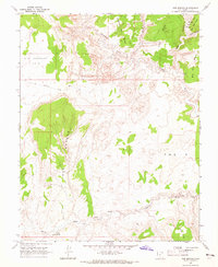
1964 · Red Breaks
USGS Topo · 1:24,000
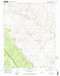
1968 · Big Hollow Wash
USGS Topo · 1:24,000