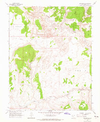
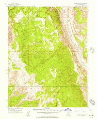
1964 Map of Red Breaks
USGS Topo · Published 1966About this map
The Escalante River winds through the northern portion of this canyon country, joined by the deeply incised The Gulch and Death Hollow. This mid-1960s survey captures a landscape defined by dramatic shifts in elevation, from the high plateaus of Big Spencer Flats to the intricate sandstone formations of the Red Breaks. The geography suggests a difficult environment for travel, relying on the Old Sheffield Road (Jeep) and various unnamed Jeep Trails to navigate the high benches.
Find a feature on this map
18 named features on this map. Tap any name to fly to it.
Don’t see what you’re looking for? This feature index may not catch every label — zoom into the map to look around manually.
Map Details
Editions of this 1964 Red Breaks Map
4 editions found
Other maps of this area

1886 · Escalante
USGS Topo · 1:250,000

1953 · Circle Cliffs 4 NW
USGS Topo · 1:24,000

1953 · Circle Cliffs 1 SW
USGS Topo · 1:24,000

1953 · Circle Cliffs 4 SW
USGS Topo · 1:24,000

1953 · Moody Creek
USGS Topo · 1:62,500
1953 · Wagon Box Mesa
USGS Topo · 1:62,500

1956 · Escalante
USGS Topo · 1:250,000

1960 · Escalante
USGS Topo · 1:250,000

1964 · Sunset Flat
USGS Topo · 1:24,000

1964 · Tenmile Flat
USGS Topo · 1:24,000